5:30 p.m. forecast for Minnesota from Oct. 4, 2026 | NEXT Weather
Meteorologist Katie Steiner has the latest forecast.
Watch CBS News
Meteorologist Katie Steiner has the latest forecast.
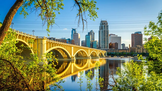
Saturday will be a #Top10WxDay with sunshine and a high temperature of around 80 degrees.

Expect some showers and storms in the Twin Cities on Thursday before quieter weather returns for the weekend.
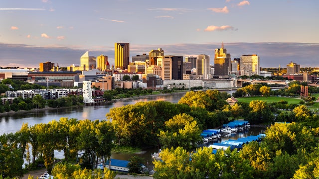
Wednesday will be a quiet, comfortable day in the Twin Cities, with dry weather and seasonable temperatures.
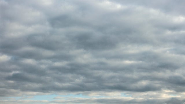
Scattered thunderstorms develop again mid-afternoon Tuesday through the mid-evening hours south of the Twin Cities.
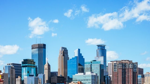
Saturday will be a little more humid than Friday in Minnesota, with a few spotty rain showers expected to move across the state.
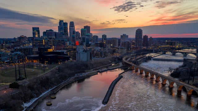
Showers and storms are moving through Minnesota Thursday morning, with a cloudy day set to follow.

Expect another warm day in the Twin Cities on Wednesday, with highs in the upper 80s and a mix of sun and clouds.

Tuesday will be hot and humid in the Twin Cities, with rain possible in parts of Minnesota overnight.
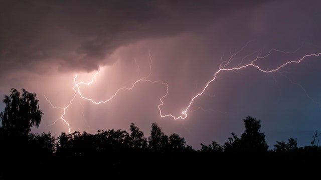
A round of rain will pass south of the Twin Cities overnight Tuesday, with a few severe thunderstorms possible. It will likely stay dry in the metro.
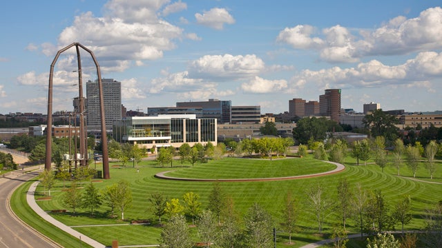
Highs will be in the low 80s on Saturday, with the next chance for storms in southern Minnesota in the evening hours.
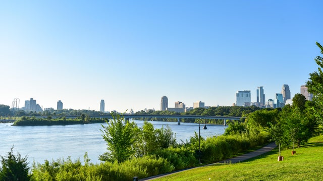
Thursday will be slightly warmer in the Twin Cities under mostly sunny skies.
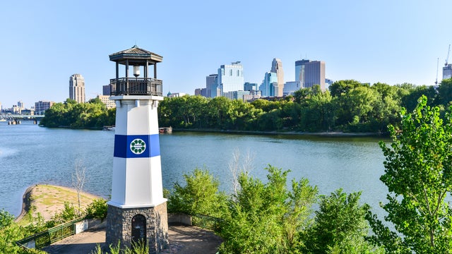
The next couple of days will be mostly sunny, dry and comfortable in the Twin Cities.
After some light rain in the early morning, Tuesday will be a cooler day in the Twin Cities.

A cold front passing through Minnesota on Monday night will trigger some scattered showers, though the Twin Cities won't see much rain from it.
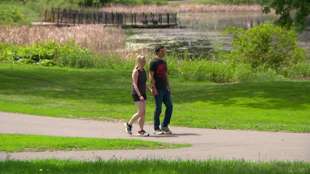
Saturday will be a #Top10WxDay, with low humidity and calm winds in Minnesota.
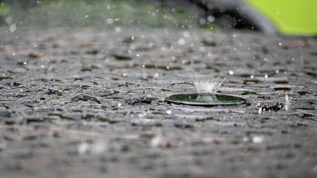
Communities across Minnesota saw impressive rainfall totals on Friday as wet weather crawled across the state.
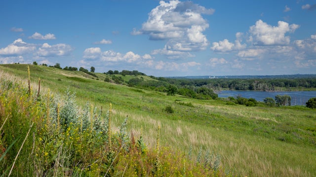
Highs will be near 90 in the afternoon, with some passing clouds.
Wednesday will be another hot, humid day in the Twin Cities.
WCCO has issued a NEXT Weather Alert for Sunday for temperatures in the mid-90s and peak heat indices around 110 degrees.
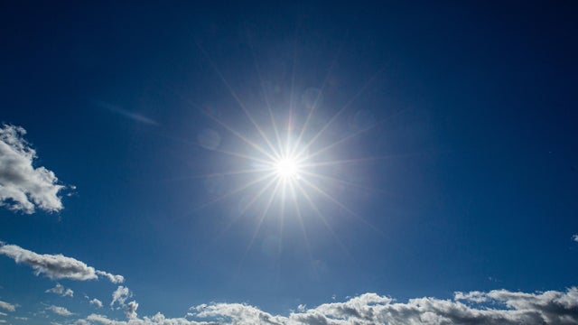
WCCO has issued NEXT Weather Alerts for Saturday and Sunday for temperatures in the mid-90s and peak heat indices around 105 degrees on both days.
Highs will be near 80 in the metro.
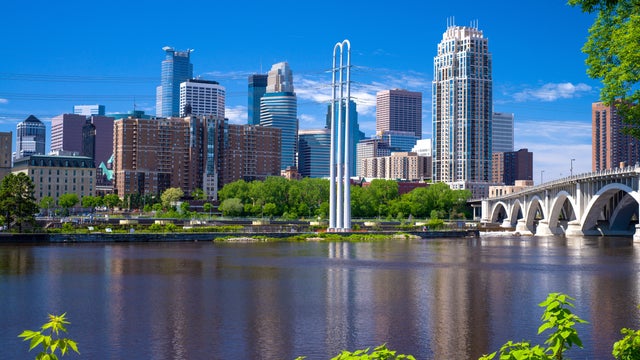
Wednesday will be #Top10WxDay in the Twin Cities, filled with sun, calm winds, pleasant temperatures and clean air.
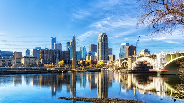
Comfortable summer weather will return to the Twin Cities on Tuesday and stick around through Friday.

Monday will be the 10th consecutive day in the Twin Cities with highs in the 90s — the longest such streak since July 1948.