Twin Cities cools slightly for weekend; poor air quality lingers in NE Minnesota
Slightly cooler conditions are in store for the Twin Cities on Saturday and Sunday. Further north, poor air quality will remain a concern through the weekend.
Watch CBS News
Slightly cooler conditions are in store for the Twin Cities on Saturday and Sunday. Further north, poor air quality will remain a concern through the weekend.
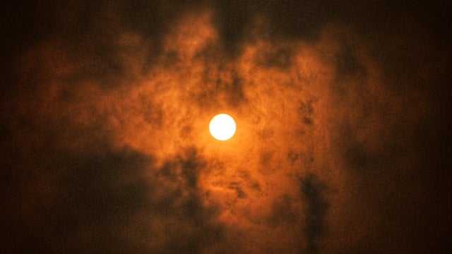
Dangerous heat and hazardous air quality remain the primary concerns in the Twin Cities on Thursday.

Wednesday will be another dangerously hot day in Minnesota as wildfires continue to burn and air quality concerns linger. A NEXT Weather Alert will remain in place through Friday due to these concerns.
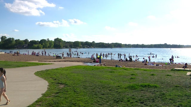
A NEXT Weather Alert remains in effect through Thursday evening, as does an extreme heat warning.

A NEXT Weather Alert is in effect, and most of the state is under an extreme heat warning until 9 p.m. on Thursday.

The high temperature in the Twin Cities on Saturday will reach around 90 degrees with a heat index in the low 90s.
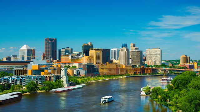
A strong area of high pressure is set to develop over the central U.S. Thursday, bringing Minnesota's next stretch of hot, dry weather.
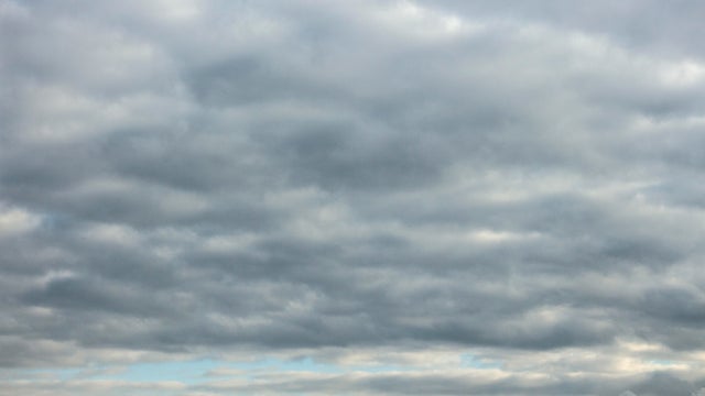
The Twin Cities will deal with off-and-on showers and rumbles Wednesday. Expect gray and muggy conditions, even though it's a bit cool for this time of year with highs in the low 80s.
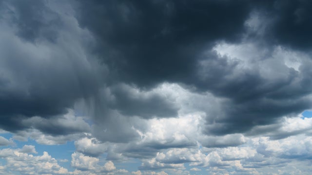
Scattered showers and isolated severe thunderstorms are possible late Tuesday into early Wednesday in the Twin Cities. Lows will be in the low 70s.
Severe storms that swept through Minnesota on Monday evening and night prompted weather warnings across the northern and central regions of the state.
An isolated storm may pop up on Saturday morning, the Fourth of July, and there's a chance for scattered storms in the afternoon and evening.
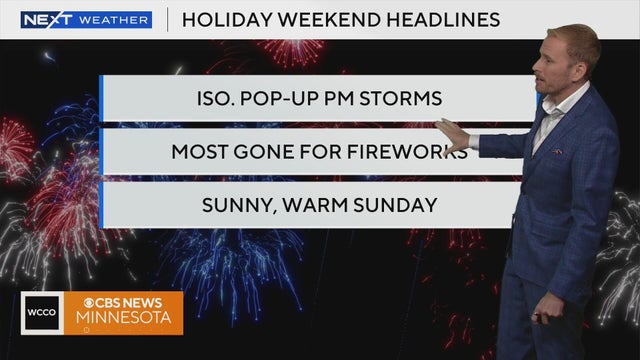
With more heat and humidity, isolated storms are back in the forecast for our Fourth of July festivities. Meteorologist Adam Del Rosso breaks down the latest forecast.
Highs will top out near 90, with no meaningful storm risk during the daytime.
As the first round of storms wanes in Minnesota on Wednesday, another stronger system is expected to hit the state in the evening.
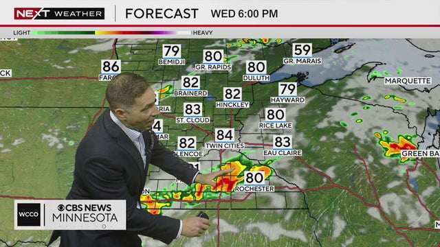
As the first round of storms wanes in Minnesota on Wednesday, another stronger system is expected to hit the state in the evening.
A heat advisory is in effect through 9 p.m. for the Twin Cities. Highs will be in the low 90, but the heat index is around 100 degrees.

With hot days ahead, Minnesota farmers in of all kinds are trying to navigate the heat and dry weather.

Storms are passing through northwest and northern Minnesota late Monday ahead of a hot Tuesday in store for the state.

There will be sun, a few clouds and a light breeze in Minnesota on Saturday and Sunday. The comfortable weather comes after storms rolled through the central region of the state on Friday.
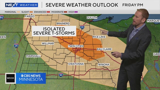
Friday will bring storms across Minnesota before comfortable weather settles in for the weekend. Meteorologist Adam Del Rosso has the latest forecast.
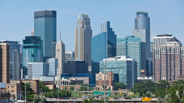
Cool and comfortable weather will settle in Thursday in the Twin Cities before a weekend warm-up.
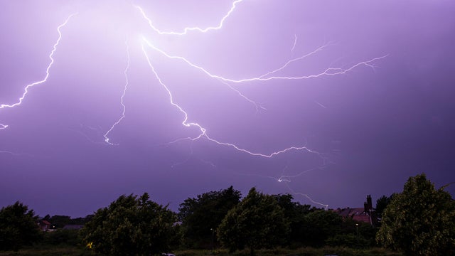
Scattered showers and storms will remain possible through the evening across much of southeastern Minnesota, including parts of the Twin Cities metro area.
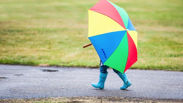
Badly needed rain will return to the metro and southwestern Minnesota late Tuesday night, lingering into Wednesday.
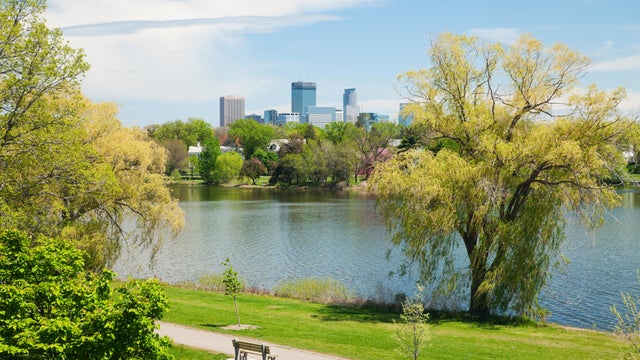
Relatively quiet summer weather will continue in the Twin Cities Monday.

Minnesota is in for a cooler but comfortable weekend.