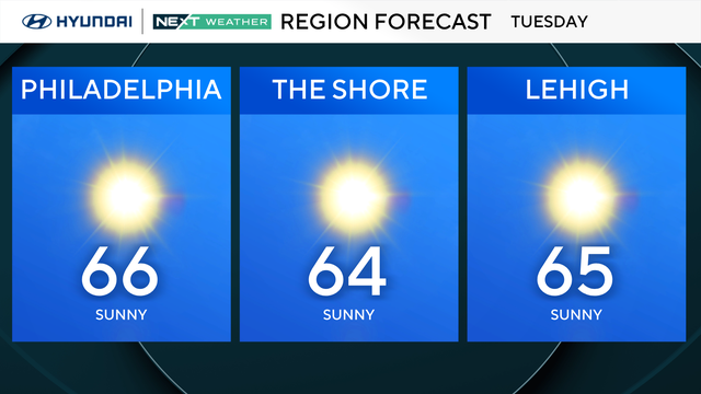
Slightly warmer start, but more of the same in Philly region Tuesday
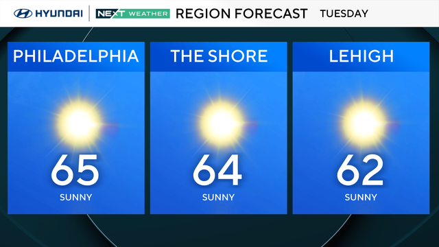
Tuesday will be a slightly warmer start to the day in the Philadelphia region, with high temperatures reaching the mid-60s.
Watch CBS News
Tuesday will be a slightly warmer start to the day in the Philadelphia region, with high temperatures reaching the mid-60s.
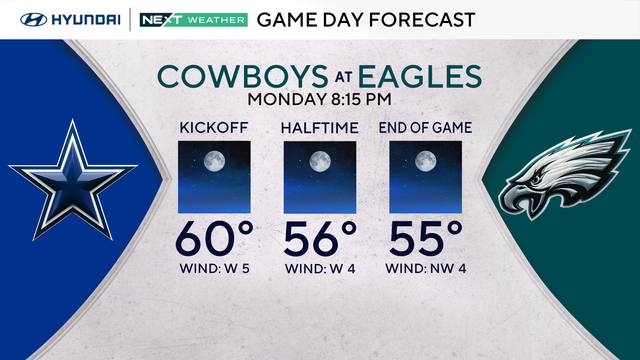
It will be a beautiful start to the workweek with plenty of sunshine, light winds and temperatures climbing to around 70 degrees in the Philadelphia region.
Sunday will be a beautiful fall day in the Philadelphia region with plenty of sunshine, light winds and temperatures beginning to moderate after another frosty start.
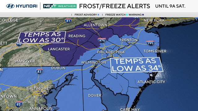
Frosty mornings are in store for the Philadelphia are this weekend.
A beautiful day for outdoor plans, but you'll definitely want a jacket.
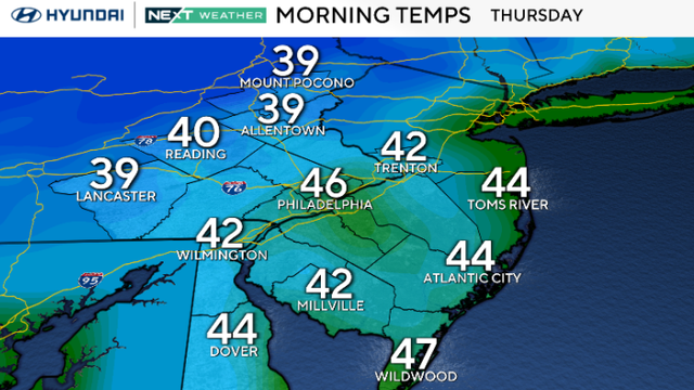
Thursday will be another dry but breezy day across the Philadelphia region as Subtropical Storm Josephine moves farther away from the East Coast.
Mostly sunny skies will once again spread across the Philadelphia region as temperatures climb back into the mid-to-upper 60s.
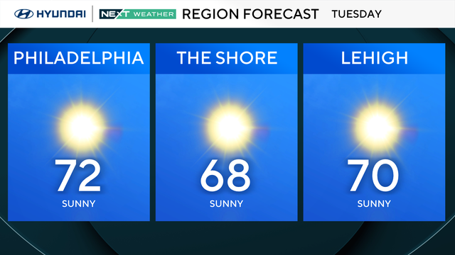
After a beautifully sunny Monday, Tuesday will keep the trend running.
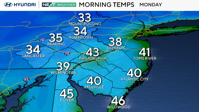
The Philadelphia area can expect sunny skies all week.
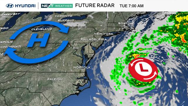
The Philadelphia area can expect a cold Sunday morning and a sunny afternoon.
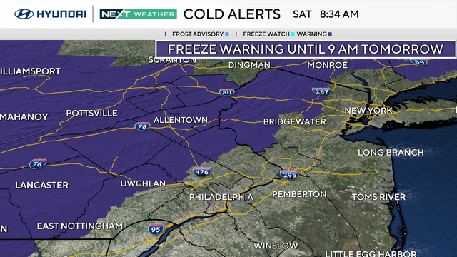
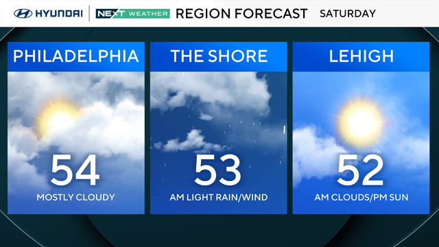
The Philadelphia region will see high temperatures in the mid-50s Saturday, which will be more than 20 degrees colder than Friday.
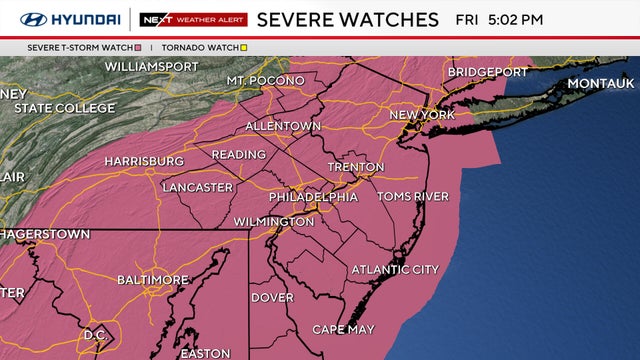
Severe storms with damaging winds could impact the Friday commute before chilly autumn air brings a risk of frost to the suburbs this weekend.
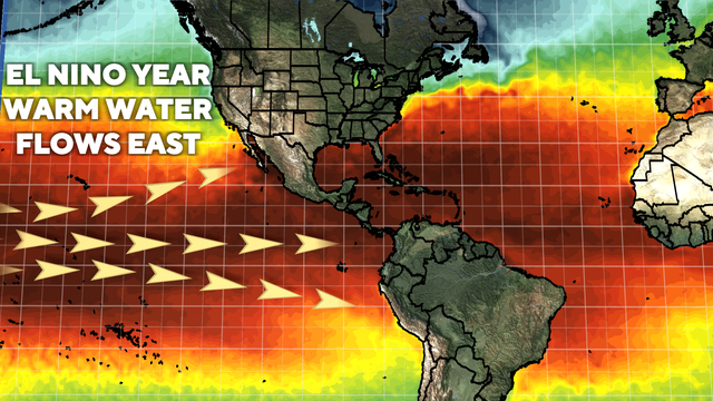
As a "Super El Niño" strengthens in the Pacific, here is what the Philadelphia region can expect for winter temperatures and precipitation.
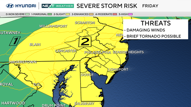
A NEXT Weather Alert is in effect for Friday in the Philadelphia area as strong thunderstorms with damaging wind gusts are possible ahead of a cold front.
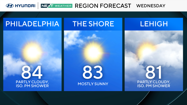
Temperatures will feel much more like early September than mid-October in the Philadelphia region Wednesday.
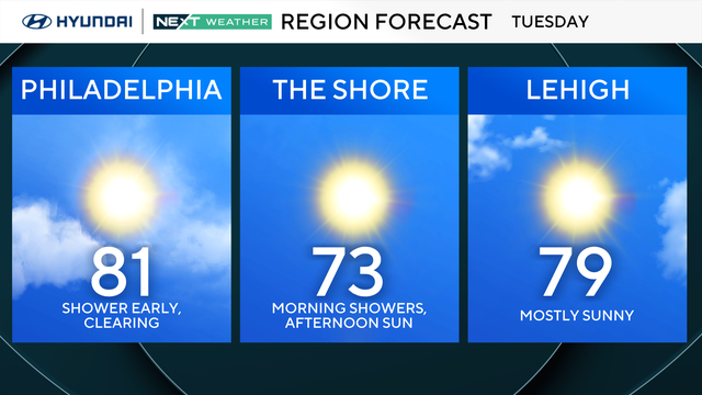
Get ready to break out the summer gear again as the Philadelphia region heads to the low 80s on Tuesday.
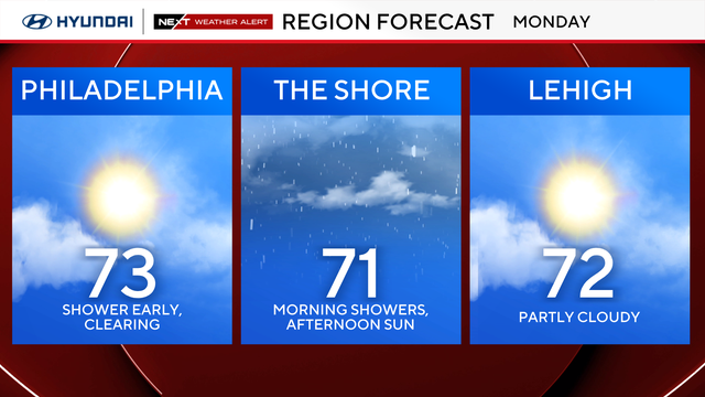
The remnants of Hurricane Isaias finally move out Monday after dousing the Philadelphia region with soaking rain all day Sunday.
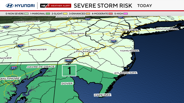
The remnants of Hurricane Isaias will spread steady showers across the Philadelphia region for most of the day on Sunday.
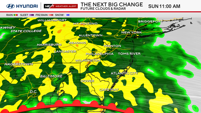
Hurricane Isaias has lost its tropical characteristics since making landfall, but its remnants will bring heavy rain and gusty winds to the Philadelphia region.
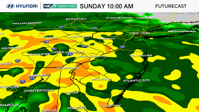
Despite a weakening tropical system on the way, the weekend will not be a complete washout in the Philadelphia area.
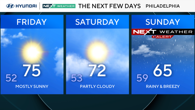
The concern in Philadelphia with Hurricane Isaias is what happens to the storm's moisture after landfall.
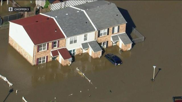
Tropical Storm Isaias swept through the Philadelphia region on Aug. 4, 2020, producing significant tropical rainfall and tornadoes.
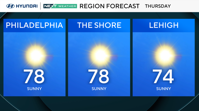
Plenty of sunshine with highs in the upper 70s Thursday in the Philadelphia region.
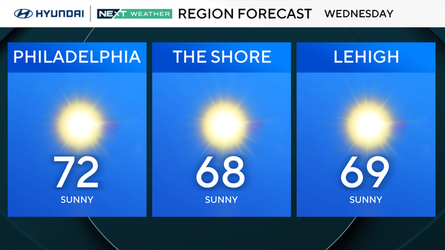
Wednesday in Philadelphia will start with widespread chilly temps, but by the afternoon, it's back to temps near 70 degrees across the region.
A great fall day is in store for the Philadelphia region with tons of sun and mild temperatures.