Friday offers break from rain before another storm moves into Philly area
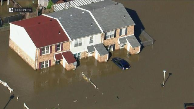
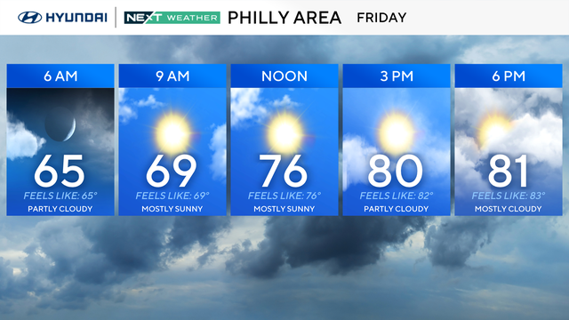
After a Thursday filled with severe storms, flooding rain and tornado warnings, Friday will be a nice end to the workweek.
Watch CBS News
After a Thursday filled with severe storms, flooding rain and tornado warnings, Friday will be a nice end to the workweek.
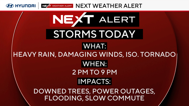
The threat of severe weather is winding down in the Philadelphia area after an active day of storms.
Showers and thunderstorms are expected in the Philadelphia region Thursday.
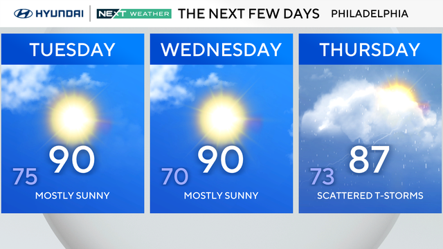
While Tuesday will be hot, the humidity levels in the region will be lower, making for a good day to head to the pool or beach.
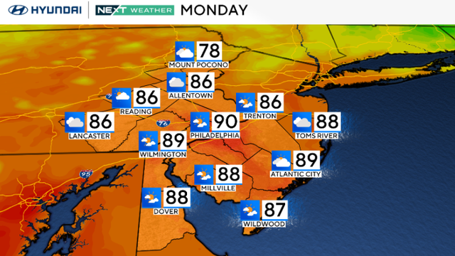
Monday in the Philadelphia region looks mostly quiet, although a few isolated showers or thunderstorms could pop up during the afternoon as a cold front moves through.
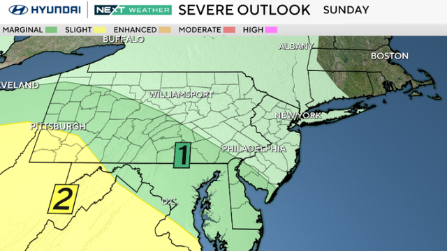
Sunday in the Philadelphia region looks wet, especially later in the day and at night, with a couple of rounds of rain moving through.
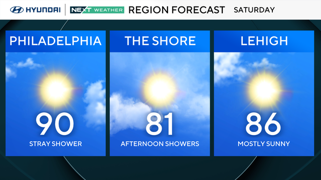
Saturday in the Philadelphia region will have plenty of sunshine before storms move into the Delaware Valley on Sunday.
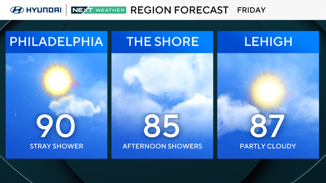
The week ends with a hot, sticky, and mostly dry day in the Philadelphia region before the NEXT Weather maker arrives Sunday.
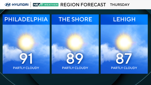
The sweat meter returns to moderately high today, with dew points back in the 70s — you'll want a little extra hairspray before work.
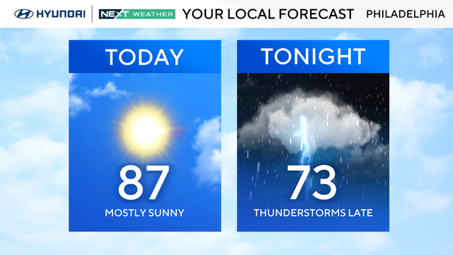
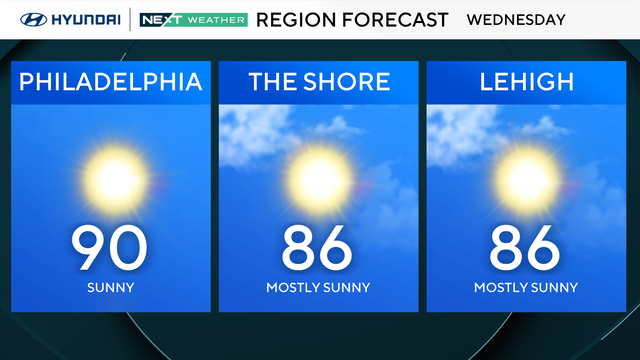
Clouds are breaking for sunshine and it'll turn out bright and comfortable on Wednesday in the Philadelphia region.
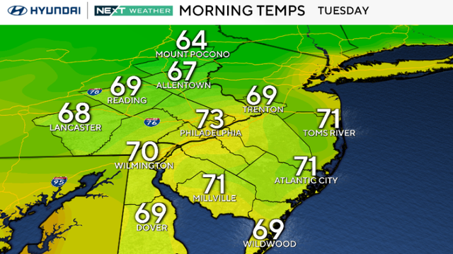
The threat of storms continues Tuesday as a front approaches the Philadelphia region.
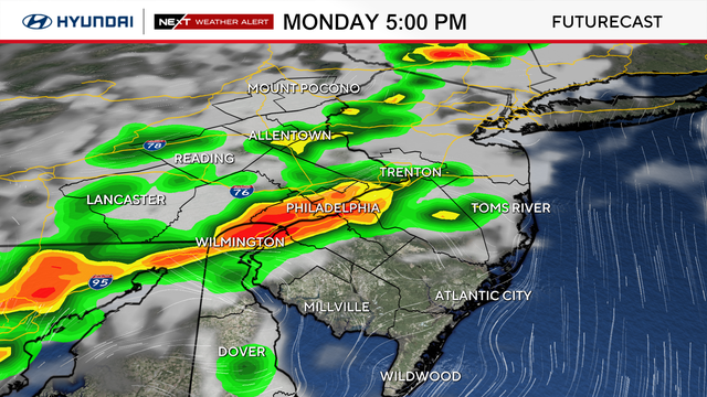
Scattered showers are possible Monday in the Philly area. The main concern will be damaging wind gusts, but there is also a low-end tornado risk.
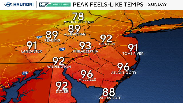
Sunday looks largely dry with plenty of sunshine and slightly lower humidity across the Philadelphia area.
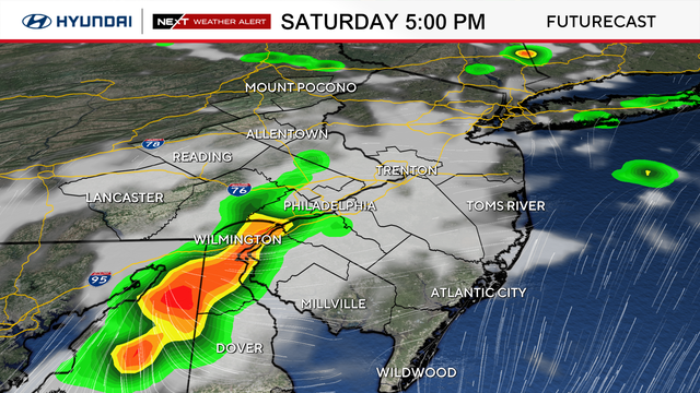
A Heat Advisory is in effect through Saturday, and additional evening thunderstorms are expected.
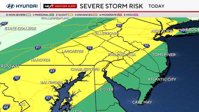
A NEXT Weather Alert is in effect for the Philadelphia region Friday because of the combination of heat and heavy thunderstorms.
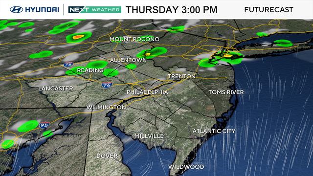
Thursday through the weekend in the Philadelphia region will feature daily chances for scattered showers and thunderstorms.
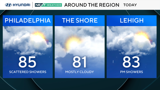
Pop-up showers and storms are likely throughout Wednesday in the Philadelphia region, so keep the umbrella handy.
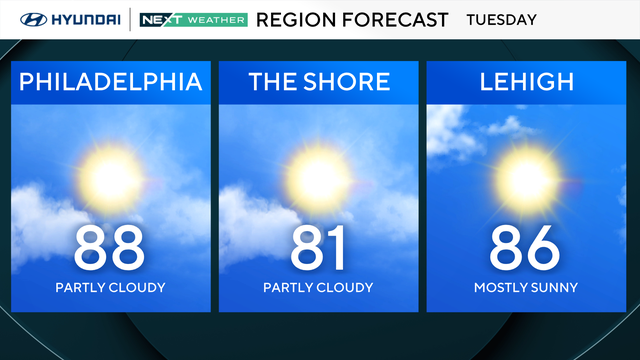
Tuesday will be the nicest day of the week in the Philadelphia region, as humidity and storm chances return on Wednesday.

Plan for a wet and stormy Monday in the Philadelphia region, with several rounds of showers and thunderstorms possible throughout the day.
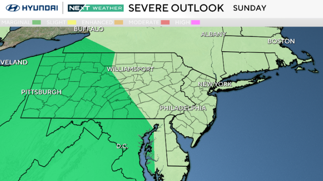
Rounds of showers and thunderstorms will move through the Philadelphia area Sunday night and into Monday.
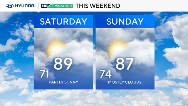
Expect a warm and humid, mainly dry, weekend with a rainy workweek ahead for the Philadelphia region.
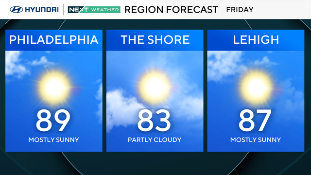
The return of pretty nice summer weather will be here Friday in the Philadelphia region.
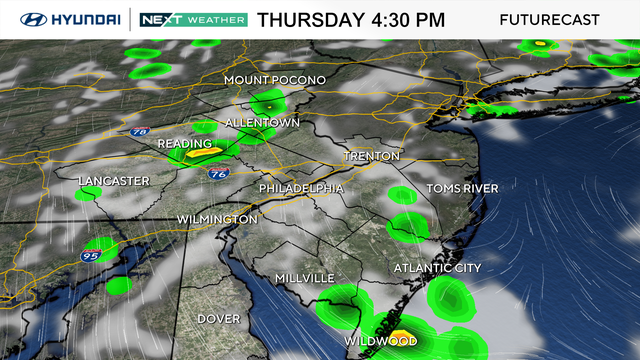
Thursday will be a fairly decent day to spend time outside in the Philadelphia region.
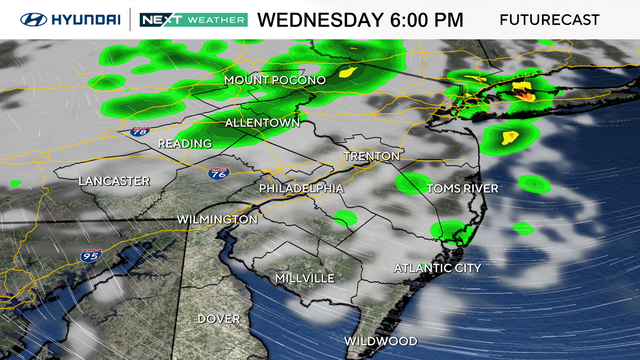
While it will be a significantly improved day, we are still tracking pop-up showers and storms Wednesday afternoon and evening in the Philadelphia region.
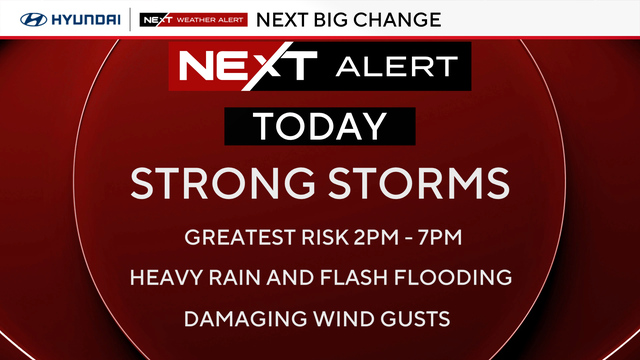
We've issued a NEXT Weather Alert for today as multiple rounds of heavy rain pass through the Philadelphia area.