Sunny and less humid in Philadelphia Wednesday but another heat wave could be on the way

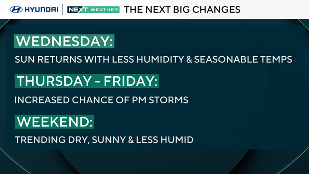
Morning clouds are clearing out, with the Jersey Shore being the last spot to see the return of sunshine.
This will give way to great conditions for the remainder of the day.
After a relatively cool but muggy Tuesday, drier air will push into the region for our midweek and drop the humidity a bit and bring back the sunshine.
As a result, temperatures will also increase a bit with high temps expected in the middle 80s with upper 70s to near 80 degrees along the shore.
NEXT big weather changes
The rain, however, will not stay away for long, with scattered showers and storms returning Thursday afternoon and again Friday afternoon.
There's a small chance a few showers may linger into early Saturday morning, but the current trend is to clear out the rain for most of the day Saturday.
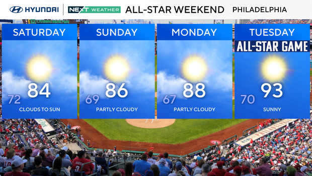
By Sunday, the chance of rain drops to nearly zero, allowing for partly cloudy skies and high temperatures in the mid-upper 80s.
Next week, we're already tracking the return of the heat with another potential heat wave in the works. High temperatures are heading back to the middle and possibly upper 90s.
Here's your 7-day forecast:
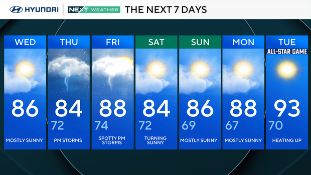
Wednesday: Mostly sunny. High 86.
Thursday: PM storms. High 84, 72.
Friday: Spotty PM storms. High 88, low 74.
Saturday: Turning sunny. High 84, low 72.
Sunday: Mostly sunny. High 86, low 69.
Monday: Mostly sunny. High 88, low 67.
Tuesday: Heating up. High 93, low 70.


