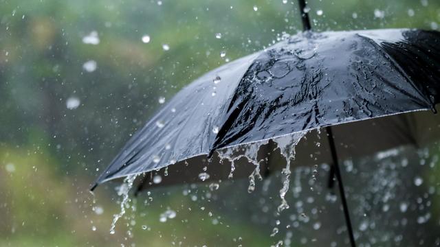
Chances for afternoon rain both weekend days
Saturday's temperatures drop back into the 30s, with a high of 38 in the metro and 32 in northern Minnesota.
Watch CBS News
Saturday's temperatures drop back into the 30s, with a high of 38 in the metro and 32 in northern Minnesota.
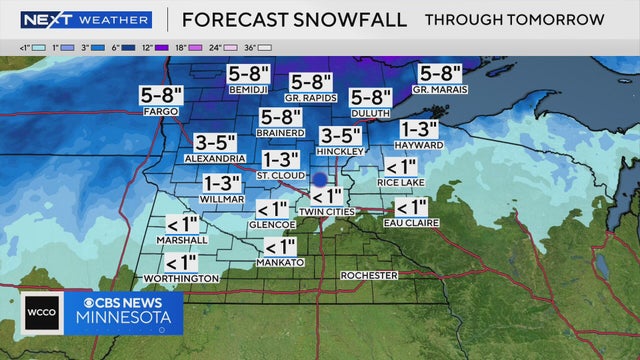
Northern Minnesota could see a few inches of snow as another storm pushes through, and though the Twin Cities will see some flakes, NEXT Weather Meteorologist Mike Augustyniak says there won't be much accumulation.
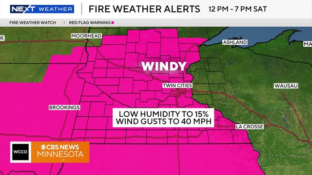
Saturday will start cool but will warm up throughout the day with the high temperatures hitting in the low to mid 50s.
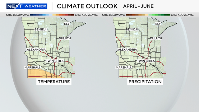
As of late, the warmth is winning out, but Minnesotans know all too well that winter can often make a quick encore.

Friday saw our warmest day of the year, so far. Saturday will see even warmer temperatures with highs potentially hitting the 70s.
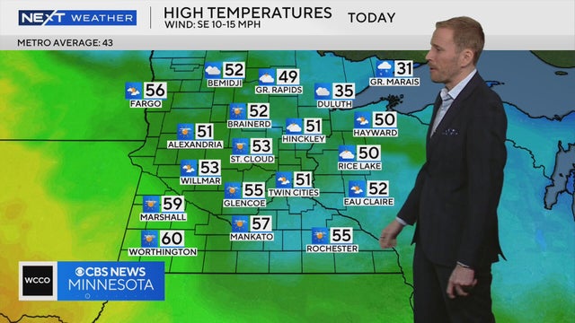
It's warming up and there are signs of spring as temps could reach the mid-50s on Thursday.
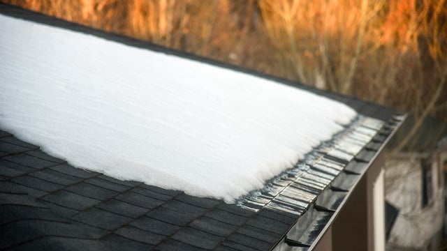
Melting snow will accelerate this week, but areas of fog and low clouds could slow the warmup for some neighborhoods, especially to the south and west.
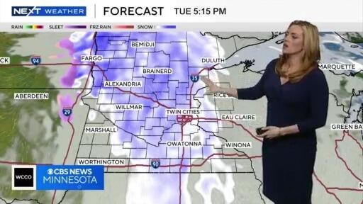
It'll be a mild and breezy Monday, but snow starts to move in again on Tuesday evening.
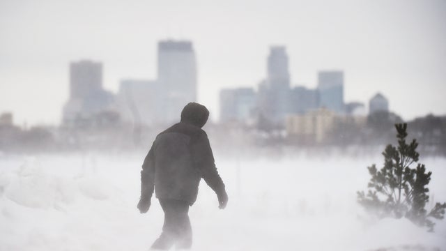
The major weekend snowstorm in Minnesota is winding down Sunday evening, but a NEXT Weather Alert will remain in effect into overnight Monday.
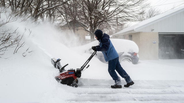
Minnesotans are preparing for a winter wallop. There have been no big changes to the forecast overnight. Everything remains on track for Minnesota's major winter storm, with major impacts from Saturday evening through Sunday.
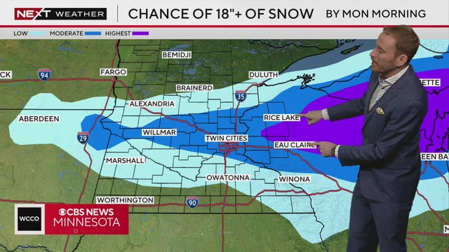
No big changes to the forecast overnight. Everything is still on track for our significant winter storm with major impacts tonight through Sunday. We're dry for most of today, but snow picks up in coverage and intensity, mainly after 7pm, with the heaviest after midnight with 1-3" per hour snowfall rates
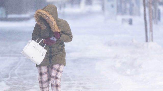
Minnesota Gov. Tim Walz has signed an executive order authorizing the Minnesota National Guard to support emergency operations for a winter storm expected late Saturday into Sunday.

Rain is falling Thursday night in the Twin Cities, while snow is falling up north.

A mix of rain and snow will start to push through Minnesota in the afternoon, with 50 mph winds expected in the metro area by the evening.

A mix of rain and strong winds will push through Minnesota before a weekend storm.

Wednesday night will be a quiet one in the Twin Cities, with temperatures falling back to the mid 20 with a partly cloudy sky.

The day will start out with some clouds and wet roads, but it'll clear out by the afternoon for some sunshine.
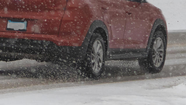
The first of three rounds of snow arrives in Minnesota Tuesday night, with just enough accumulation to slow the Wednesday morning commute.
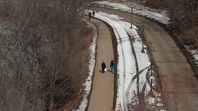
Spring-like weather will continue on Monday before a stretch of rainy and snowy days.

Mild temperatures on Monday, but some snow will make its way through Minnesota throughout the week.

It'll be a mild few days as temps climb into the 50s, though a spring storm could hit on Thursday night.
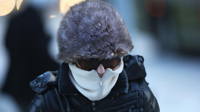
Wintery weather returns this weekend.
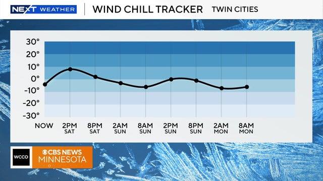
This weekend will be cold with temperatures in the low 20s on Saturday, but feeling more like single digits throughout the day.

A system that left behind several inches of snow across the metro is moving out, but clouds will linger throughout the day.

Temps stay springlike and mild on Tuesday, but some light snow is on the way for the latter half of the week.