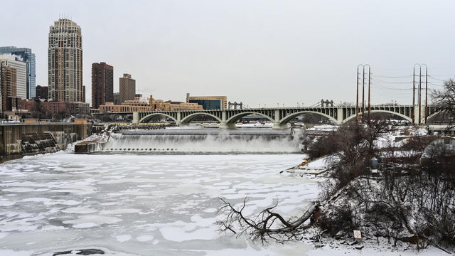
Freezing rain overnight could lead to icy roads in Minnesota
It stays mild into Monday night in the Twin Cities, which means rain could turn to freezing rain and drizzle overnight.
Watch CBS News
It stays mild into Monday night in the Twin Cities, which means rain could turn to freezing rain and drizzle overnight.
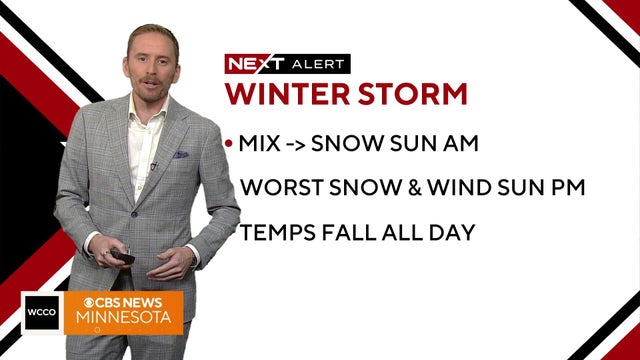
Saturday will see temperatures in the 40s before a major drop off comes on Sunday.
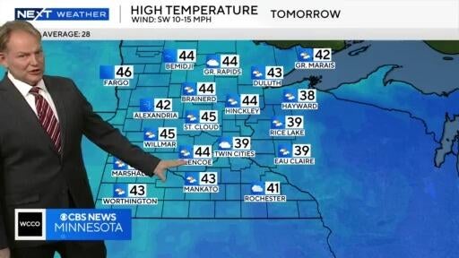
It’ll finally be above freezing for the first time in almost three weeks on Tuesday.
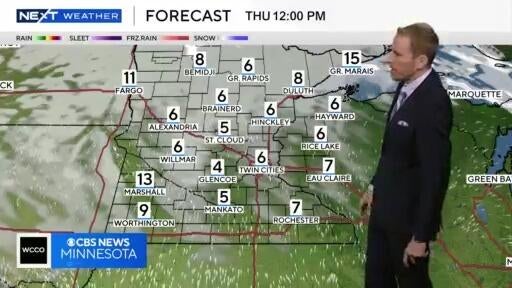
It'll be the coldest night of the season on Wednesday with temps warming slightly into the weekend.
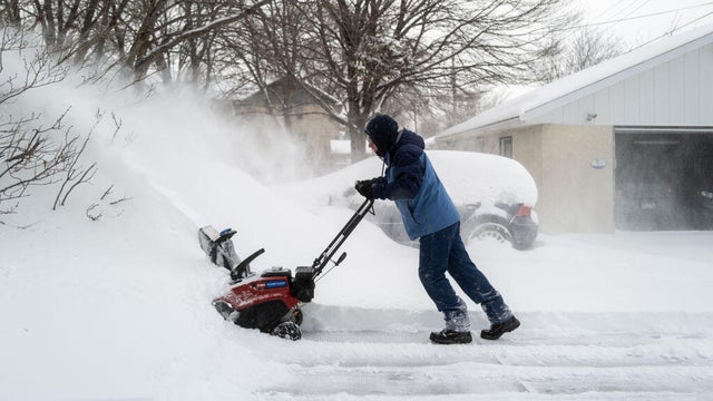
Light and persistent snow continues to fall in Minnesota on Saturday, with the southern region expected to see the most accumulation.
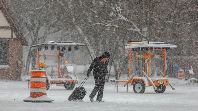
Winter storm warnings and advisories extended from Montana to Ohio, the National Weather Service said. Forecasters warned there could be airport delays and slowed traffic with snow falling at more than an inch per hour in some areas.
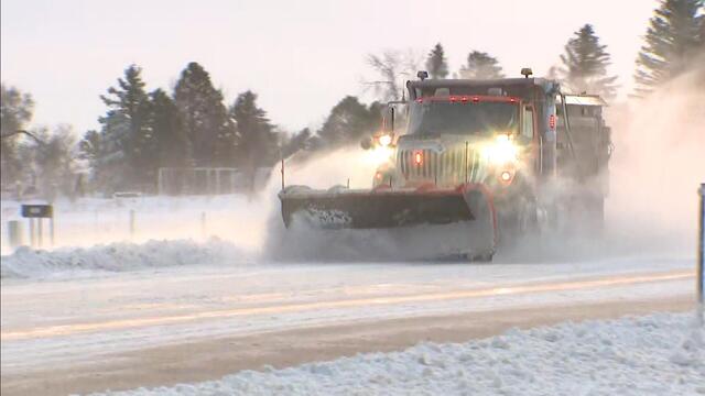
Minnesota's first winter storm of the season will push out Wednesday morning, but tough travel conditions and biting cold will linger.

The season's first measurable snowfall in the Twin Cities is expected Tuesday night into Wednesday.
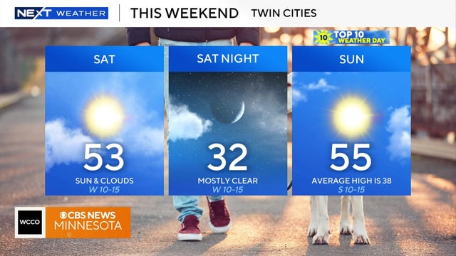
Weekend temps will be above average with highs in the 50s. Cold weather by Thanksgiving.

After record breaking heat on Friday, an overnight cold front has brought the temps down to the 50s for the metro area and high 30s to low 40s for other parts of the state.
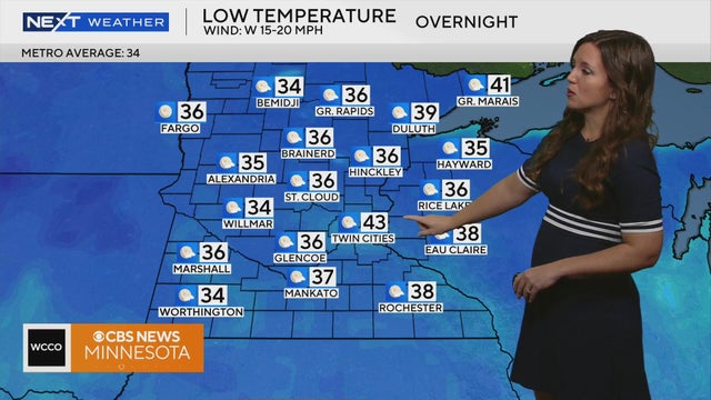
Meteorologist Katie Steiner has the latest forecast Sunday morning.
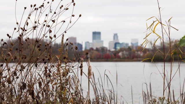
Early morning showers are expected to taper off Saturday, though the rest of the day remains cloudy.

Skies remain mostly cloudy Saturday, keeping highs cooler in the mid-upper 40s
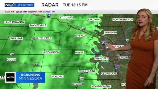
It’ll be a rainy Tuesday, though things are expected to dry out on Wednesday.
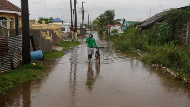
Hurricane Melissa strengthened into a Category 5 storm on Monday, unleashing torrential rain and threatening to bring catastrophic flooding to the northern Caribbean.

Much of Minnesota is waking up to cloudy conditions on Saturday, and they'll be sticking around for most of the day.
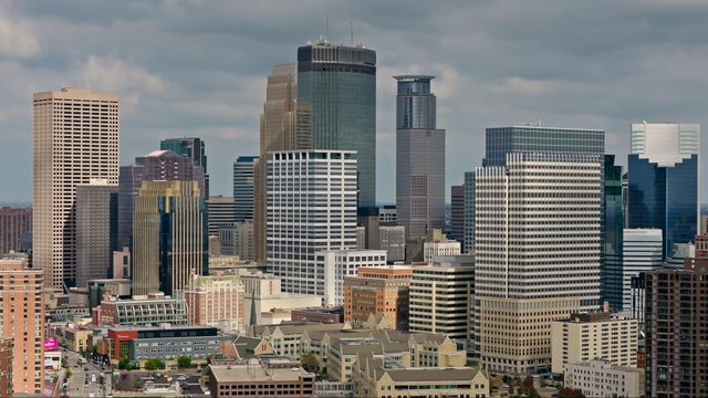
The weekend will start quietly and comfortably, with temperatures again reaching above average across Minnesota and Wisconsin.
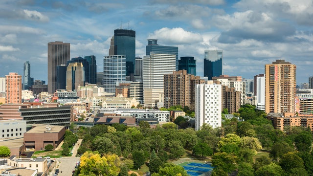
Saturday is shaping up to be beautiful, and a #Top10Wx Day has been declared across much of Minnesota and Wisconsin.
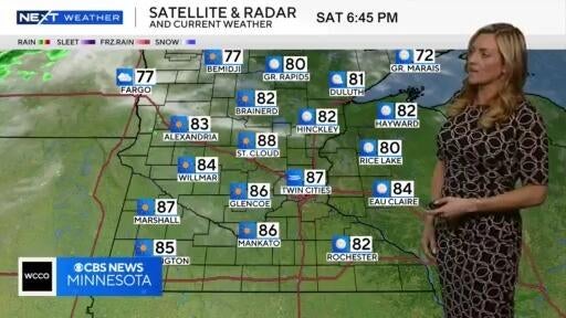
After a day of temps in the 90s, things will cool down slightly on Sunday, with a chance for some midday showers.
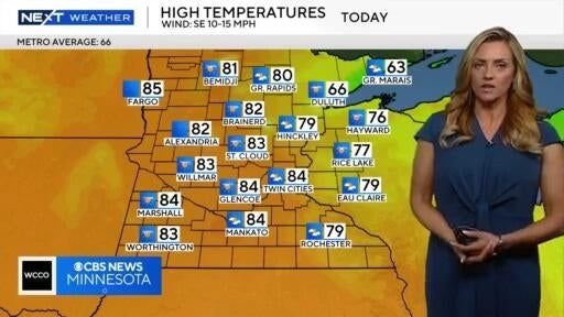
With highs in the 80s, it's another summer-like day, and temps over the weekend could hit record highs.
High temperatures are expected to be well above average this weekend and the following week.
It's a #Top10WxDay Friday, with a beautiful weekend ahead.
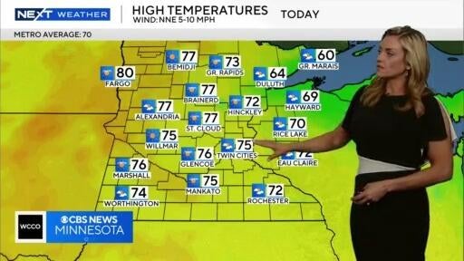
Minnesota is in the midst of a dry stretch, with high temps in the 70s.
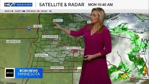
We’re entering a pleasant stretch of weather, after some early morning rain cleared out of the Twin Cities

The slow-moving storm system that has been over the region the past few days will continue to provide clouds and fog Saturday morning.