Cooldown in Twin Cities Tuesday, snow possible later in week
After a couple of abnormally warm days in the Twin Cities, Tuesday will be noticeably cooler.
Watch CBS News
After a couple of abnormally warm days in the Twin Cities, Tuesday will be noticeably cooler.
Monday will be exceptionally warm for late March in Minnesota, but cooler air and rain are not far off.
The Twin Cities are enjoying a big warm-up Wednesday, with temperatures feeling more like May than March.

Temperatures continue to rise in the Twin Cities, with more precipitation ahead later in the week.
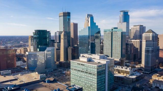
A stretch of springlike warmth will peak midweek in Minnesota, with a return to more typical temperatures to follow.

Friday saw our warmest day of the year, so far. Saturday will see even warmer temperatures with highs potentially hitting the 70s.
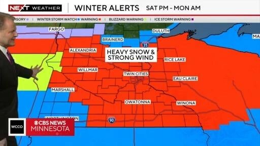
A winter storm warning is in effect for a large area of Minnesota From Saturday night to Monday morning, according to NEXT Weather meteorologist Chris Shaffer.
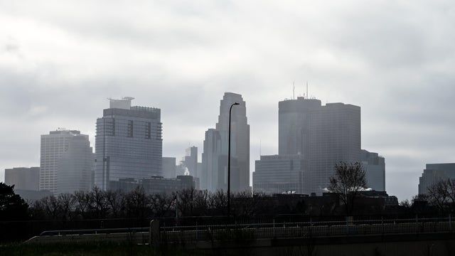
A foggy morning will give way to a mostly sunny, mild day in the Twin Cities.
Minnesota's warming trend continues on Tuesday, with highs around 50 in the Twin Cities as clouds decrease.
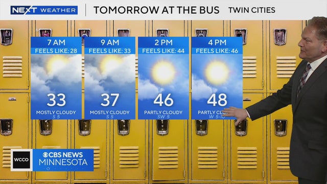
Temperatures in the Twin Cities will be in the low 30s on Tuesday morning and warm up to 48 degrees by 4 p.m., according to NEXT Weather meteorologist Chris Shaffer.
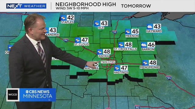
High temperatures will be in the 40s across most of the Twin Cities on Tuesday, according to NEXT Weather meteorologist Chris Shaffer.

Monday kicks off a weeklong warm-up in Minnesota.
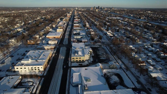
A few scattered flurries are possible overnight Thursday in parts of the Twin Cities, with a better chance farther north.
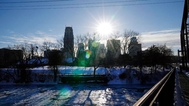
Wednesday will be colder again, with highs in the lower 20s. There will be a small window for light snow south of I-94 in the evening.
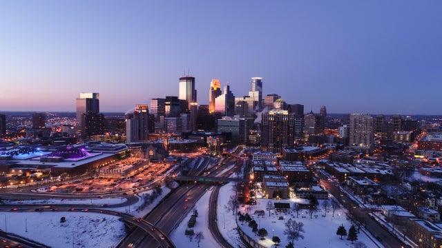
The Twin Cities metro is in for some late-winter temperature whiplash this week.
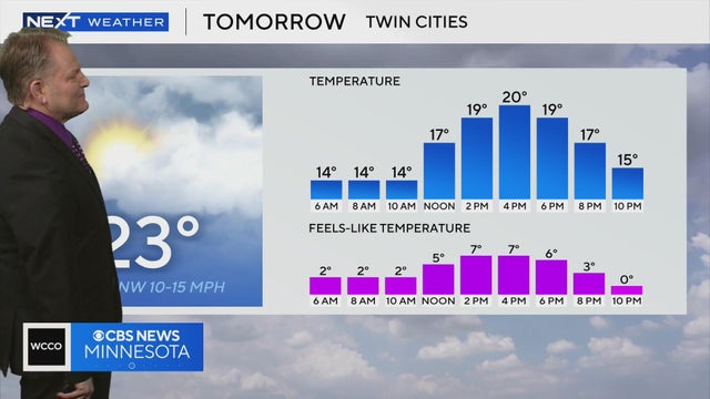
Feels-like temperatures in the Twin Cities on Saturday will be in the single digits due to windy conditions, according to NEXT Weather meteorologist Chris Shaffer.
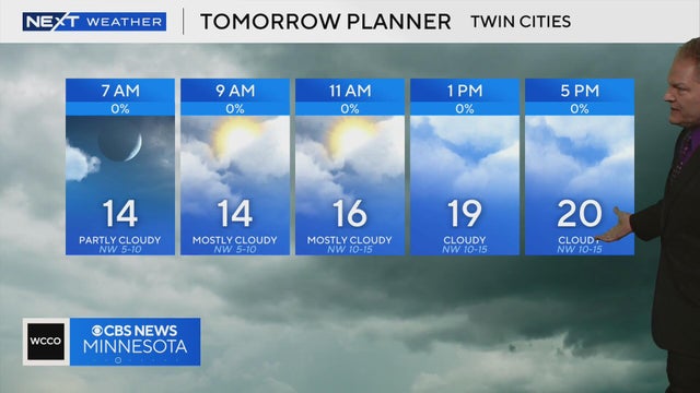
Temperatures will be in the teens for much of Saturday in the Twin Cities, according to NEXT Weather meteorologist Chris Shaffer. Sunday will feature windy conditions.
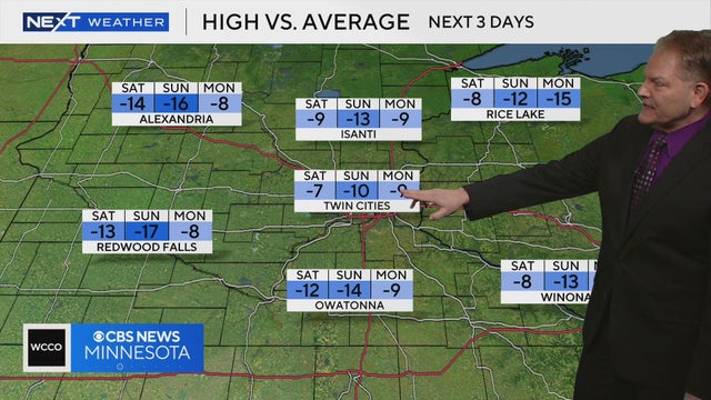
NEXT Weather meteorologist Chris Shaffer says the high temperature on Saturday and Sunday in the Twin Cities will be several degrees below average.
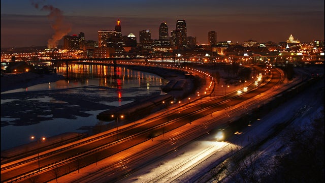
Saturday and Sunday will be cold across Minnesota, but temperatures will rebound next week.
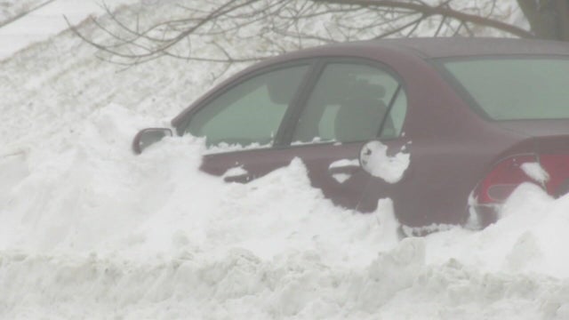
Wednesday's storm in Minnesota continues to exit to the north Thursday, taking the snow with it.

The National Weather Service has issued winter alerts across Minnesota on Wednesday due to a snowstorm set to blanket the state, with officials announcing a no-travel advisory in some regions.
Tuesday will still feel springlike in the Twin Cities, with mild temperatures and rain rolling in by evening.
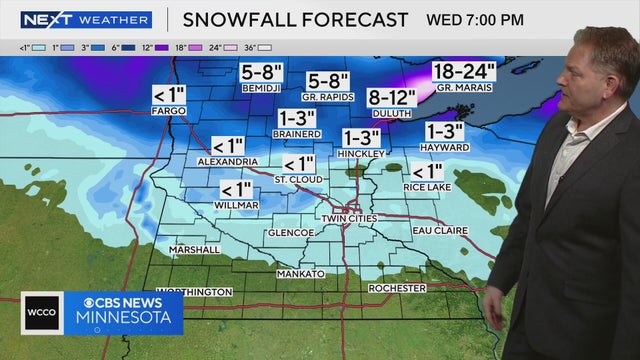
NEXT Weather meteorologist Chris Shaffer says the Twin Cities could hit 50 degrees on Tuesday before a storm moves in. Areas to the north may see a few inches of snow on Wednesday.

The Twin Cities will have another springlike day on Tuesday, but temperatures — and precipitation — are set to fall later in the week.
Our unseasonable pattern continues on Wednesday, and record warmth is possible in the coming days.