Snow wraps up Thursday in Minnesota; quiet, colder into next week


Wednesday's storm in Minnesota continues to exit to the north Thursday, taking the snow with it.
Clouds linger Thursday, along with a northwest breeze, with afternoon highs in the mid-30s.
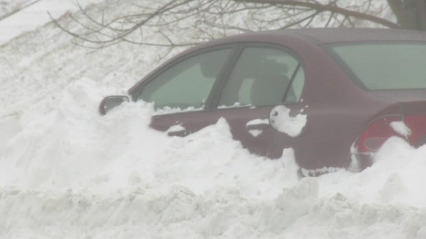
According to the National Weather Service, as of midnight, 5.6 inches of accumulation were measured at Minneapolis-St. Paul International Airport. The snowfall in St. Paul was significant enough for the city to declare a snow emergency.
WCCO Meteorologist Chris Shaffer reported much more significant snow totals up north — Hovland saw nearly 3 feet of snow, Lutsen got more than 2 feet and Duluth had almost 7 inches as of 5 p.m. Wednesday.
Another storm arrives Thursday night into Friday, but it will likely miss all of Minnesota and western Wisconsin.
This will still pick up the northwest wind with gusts up to 30 mph Friday afternoon. That will cool the Twin Cities even more with highs Friday near 30 degrees.
High pressure is back through the weekend, however it remains mostly cloudy, breezy and colder. Expect high temperatures in the 20s Saturday through Monday, with lows in the teens. Wind chills will generally be in the single digits.
Temps rebound into the 30s into the middle of next week as a few storms track across the area.
One system Tuesday looks to miss the metro to the north, but rain or snow is possible with another system rolling through on Wednesday.