Temps stay below freezing in Philly Monday, wintry mix possible Tuesday
Lows Monday morning are expected to be in the single digits across the Philadelphia region Monday.
Watch CBS News
Lows Monday morning are expected to be in the single digits across the Philadelphia region Monday.

Sunday brings us the coldest day so far — which is coincidentally the first full day of winter.

Winter is officially here, and it's making its presence known right away in the Philadelphia area with some blustery cold temperatures right after some snow showers.

Snow and rain are falling in the Philadelphia region, which could make the evening commute messy for holiday travelers.

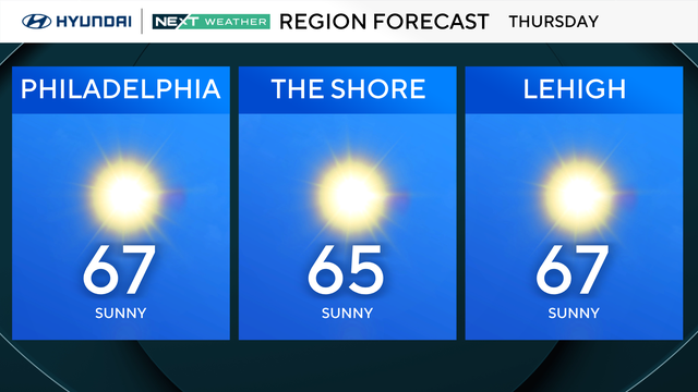
Grab the sunglasses and extra layers for Thursday. It will be seasonably cool in the mid to upper 40s and mostly sunny.

By 3 p.m. Wednesday, light showers will break out across the Philadelphia region.

Rain will clear out Tuesday morning and give way to partly sunny and mild conditions across the Philadelphia region.

After rain moved through the Delaware Valley, with even some snow across the Lehigh Valley and Poconos, the precipitation will move out for most of the second half of the day.

For fans tailgating ahead of Sunday's Eagles-Steelers matchup, expect most of the day to be cloudy and chilly with highs just barely reaching the 40s.

The Philadelphia area will see mostly sunny skies and chilly conditions with highs in the high 30s and a wind chill making it feel colder.

The big chill has arrived in the Philadelphia region. Friday morning will start out in the mid-low 20s under clear skies.

Following a huge drop in temperatures, cold air will blanket the entire Philadelphia region on Thursday.

By late afternoon today and into early evening, the Philadelphia region will receive 1 to 3 inches of rain.

While steady rain isn't likely on Tuesday, we can't rule out a sprinkle or shower throughout the afternoon. Wednesday however, is shaping up to be a washout.

A dense fog advisory is in effect for the entire Delaware Valley until 9 a.m. The morning stays cloudy and damp, and in the afternoon more showers are possible as highs climb to the mid-50s. Tomorrow is shaping up to be a washout of a day, with 1-2 inches of rain possible.

Monday will be cloudy in the morning and we'll even see some much-needed rain in Philadelphia through the late afternoon into the early evening.

The Philadelphia region will break out of this cold weather snap this weekend before temperatures crash back down next week.

Temperatures Sunday morning will be in the 30s and near 40s, but by the afternoon the region will warm up to a high of 55 degrees.

The weekend in the Philadelphia region will be warmer, less windy and partly to mostly sunny with highs in the 40s on Saturday and 50s on Sunday.

The entire region is under a wind advisory until 10 p.m.

A cold front will bring the chance for spotty rain and snow showers Thursday morning, followed by a sharp drop in the mercury Thursday afternoon.

The cold conditions will continue on Tuesday with morning lows in the 20s and daytime highs only reaching the mid-low 40s in the Philadelphia region.
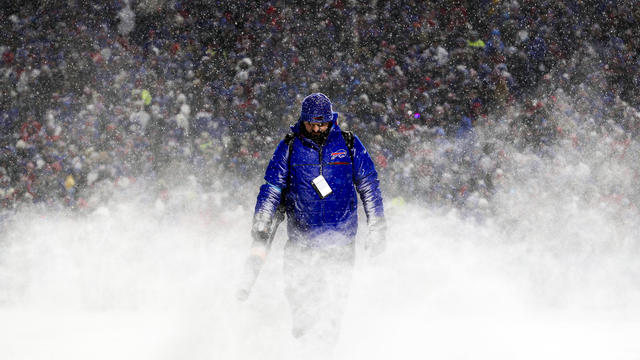
The National Weather Service said "travel could be difficult to impossible" in places where snowfall is forecast to continue into the beginning of the week.

The Philadelphia region has a cold but mostly dry week ahead.

A NEXT Weather Alert is in effect for Sunday in the Delaware Valley due to the bitter cold and feels-like temps that won't make it out of the 20s.