NEXT Weather Alert for arctic blast on Small Business Saturday
Just a taste of the early-season arctic blast set to arrive this weekend and hang around for a while.
Watch CBS News
Just a taste of the early-season arctic blast set to arrive this weekend and hang around for a while.

Wednesday travel weather conditions are looking pretty good around the Philadelphia region ahead of a rainy Thanksgiving.

The NEXT Weather team is tracking two weather systems this week in the Philadelphia region as we get closer to Thanksgiving.

Sunday is a cool fall day leading up to the busy Thanksgiving holiday travel week, where chances of wintry mix and rain are possible.

This weekend feels like fall, with blustery conditions, and a mix of sun and clouds.

Some sunshine will start the weekend but with the upper low still nearby, winds will stay quite robust, making it feel colder.

The Poconos could get up to 8 inches of snow Thursday into Friday, and Philadelphia could see some flurries and rainy mix, along with cold temps.

A warm front will bring the chance for a stray sprinkle on Tuesday in the Philadelphia region, but there won't be any significant rainfall.

While we don't have anything solid in the forecast, as of late November, meteorologists can look at trends and historical dates.

We have a good chance to see some rain in the Philadelphia region Wednesday and Thursday.

Sunday is a pleasant day with mostly sunny skies to start, and a much lighter breeze.

High pressure will build in from the Midwest for the weekend promoting plenty of sunshine and providing drier air and breezy conditions for Saturday.

Another dry weekend is in the forecast in the Philadelphia area. Most of the region is under a fire weather watch on Saturday.

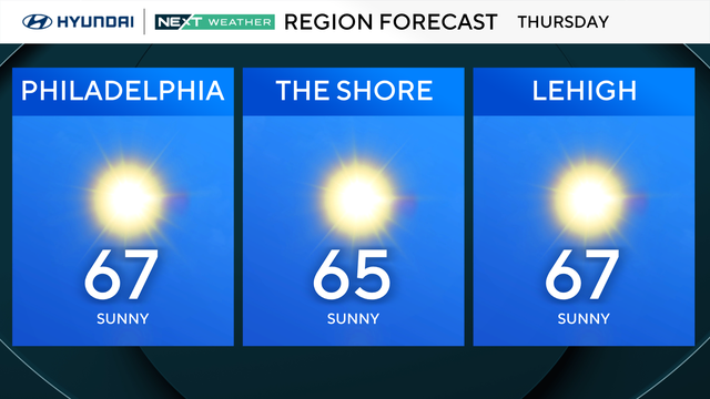
Thursday will start out cold again with widespread temps in the 20s and 30s, so be sure to layer up in the morning.

Cold start to Wednesday morning in Philadelphia region, tracking another tropical system. Here's the full forecast.

Philadelphia's dry streak finally came to an end, but there's not much rain in the forecast this week.

After a 70-degree Veterans Day, daytime highs across the Delaware Valley will only reach the low to mid-50s this week. Overnight, low temperatures will drop into the 30s.

Thankfully, we'll see some relief with rain returning Sunday late afternoon through the evening meaning this is the first measurable rainfall since the end of September!

Parts of the East Coast are under drought conditions and red flag warnings, from Massachusetts to the northern edge of Virginia and West Virginia.

Saturday will be another dry day however the winds will not be as strong and the humidity levels will not be quite as low.

Most of the Philadelphia area is in a severe drought, and the danger for fires remains.

Temperatures are back in the mid-70s again Thursday, but cooler air moves in overnight. The Delaware Valley's next best chance for measurable rain comes on Sunday.

On Wednesday, Philadelphia is forecasted to have a high of 80 degrees, which would break the record set of 79 set in 1948.

The Philadelphia region has a good chance at ending its record dry streak this weekend.

Temperatures on Election Day 2024 could be some of the warmest ever recorded in Philadelphia for a presidential election.