Rain chances back in North Texas next week
By the middle of next week, an upper-level trough will move across the Plains and likely will increase our rain chances with a front possibly moving through.
Watch CBS News
By the middle of next week, an upper-level trough will move across the Plains and likely will increase our rain chances with a front possibly moving through.
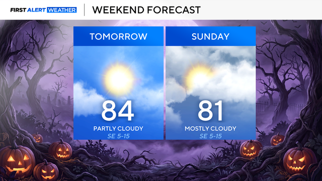
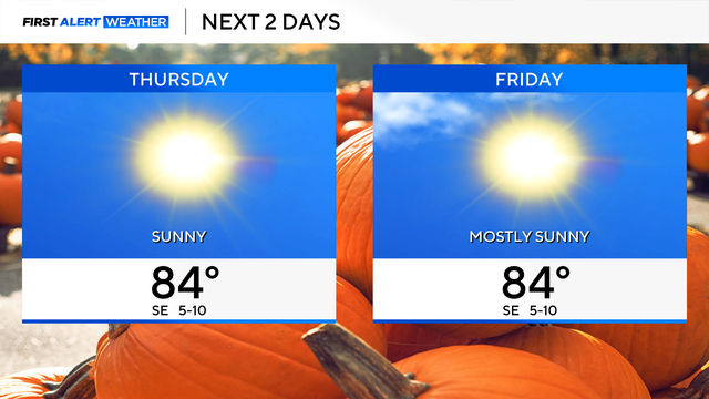
Highs on Friday will reach the mid-80s and will stay that way into the first half of the weekend.
Highs look to be a touch cooler, falling into the 70s by mid next week.
By the end of the workweek, we'll see an uptick in our cloud cover and these clouds linger this weekend.

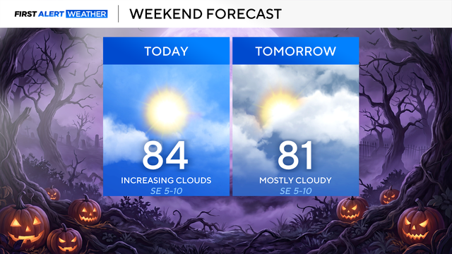
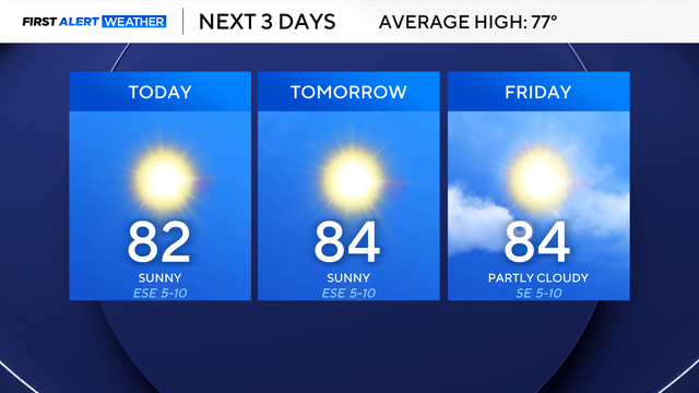
Temperatures in the afternoon will climb above average and remain above average into this weekend and early next week.

A beautiful stretch of weather continues across North Texas.

Expect high clouds to dissipate throughout the day, mild winds from the southeast, and temperatures to top out in the low 70s in the afternoon.
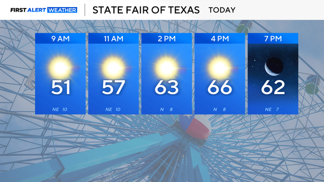
Expect an abundance of sunshine, a slight breeze from the northeast, and temperatures to top out in the middle 60s in the afternoon.

A wind advisory is in effect through 7 p.m. Friday evening, with gusts up to 50 mph possible.
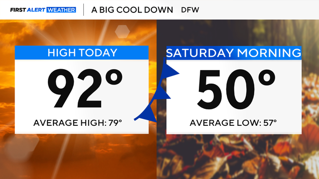
The timing of the front looks to be speeding up, with it moving in late Thursday and pushing south of us on Friday.

A cold front moves through Friday morning, and as this happens, we will see winds gust up to 40 mph.
Throughout this week, you'll notice an uptick in our winds.

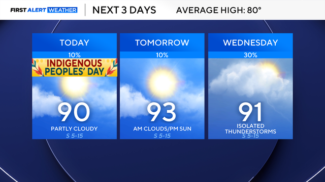
North Texas will stay dry with above-average temperatures through midweek.
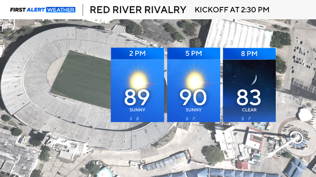
If you're headed outside, dress for the heat and drink plenty of water!
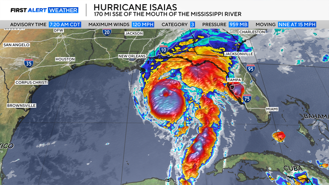
The weather in DFW stays quiet until the middle of next week.
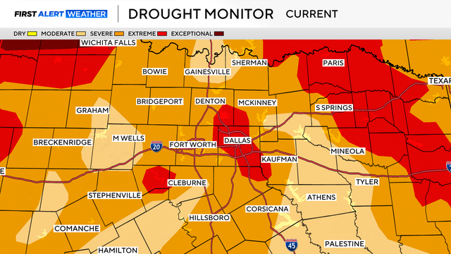
Highs will inch closer to 90° in DFW, while other cities in North Texas are likely to reach that mark by Thursday afternoon.
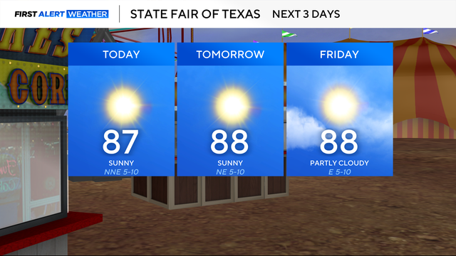
This great stretch of weather will make it perfect to head out to the fair the next few days and even into the weekend.
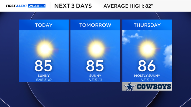
Expect our dry stretch to continue as well.
Some areas will wake up to temperatures in the 50s on Tuesday.

Dry weather takes over Sunday night.
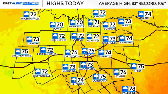
Sunshine returns next week, with high temperatures expected in the mid-80s.
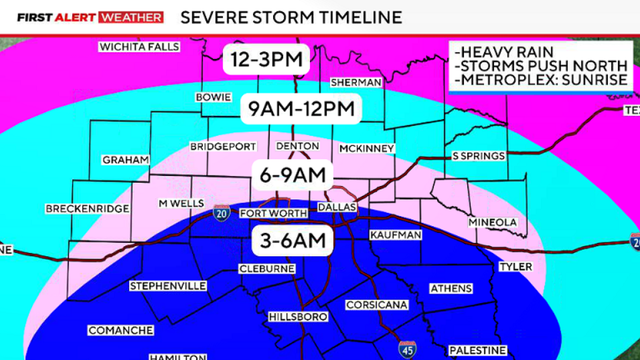
Friday's storms will move in from the south, crossing the I-20 corridor around sunrise.

A flood watch remains in effect through Friday morning for much of North Texas.

Scattered storms are popping up across North Texas, some of which may meet severe criteria.
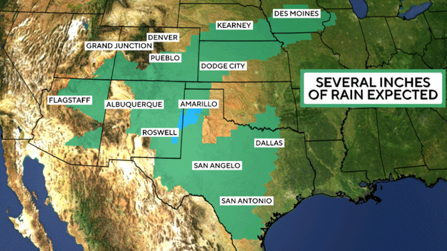
Former Hurricane Polo is expected to bring heavy rain and flooding to parts of the southern and midwestern United States.