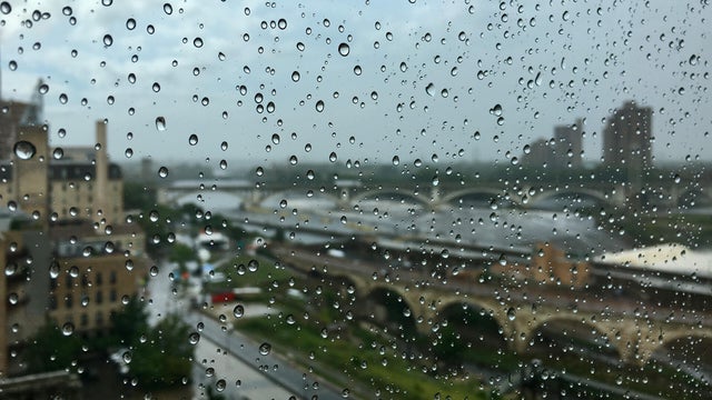
Widespread rain Friday, with scattered showers through the weekend
Minnesota is in the middle of a wet stretch, with rounds of showers and storms moving in through the weekend.
Watch CBS News
Minnesota is in the middle of a wet stretch, with rounds of showers and storms moving in through the weekend.
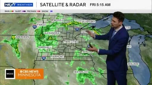
Rounds of rain will move through Minnesota this weekend.
Thanks to a stalled storm system to our west and southerly winds, high temperatures will be in the mid-80s on Saturday afternoon across the Twin Cities, but it will feel closer to 90 due to humidity.
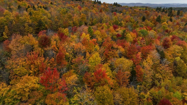
Maps show the best weeks in 2025 for leaf peeping across the U.S., with peak colors arriving as early as late September in some states.

While a mix of sun and clouds will be around for the day, a stray shower can't be ruled out, and high temperatures will make their way into the low 60s by the afternoon hours.
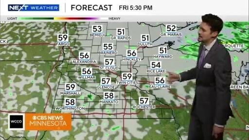
Temps will stay cool over the weekend but there's a warmup expected on Sunday.
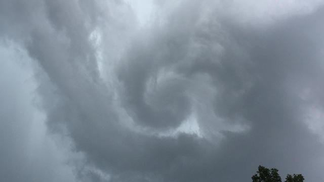
The severe storms that rolled through Saturday morning are done for the time being.
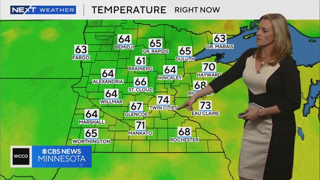
Smoke is set to return to Minnesota, bringing unhealthy air and possible storms across the northern part of the state.
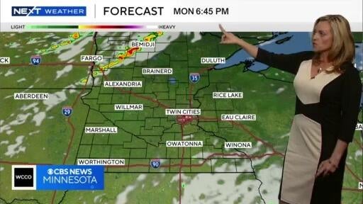
More smoke is expected to move into Minnesota overnight, and it’ll stay dry into Thursday.
With severe weather now out of the Twin Cities and surrounding areas, we're in store for calmer and slightly cooler afternoon temperatures on Saturday.
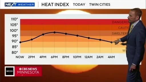
Friday is a NEXT Weather Alert day due to a combination of extreme heat and the possibility of evening storms.
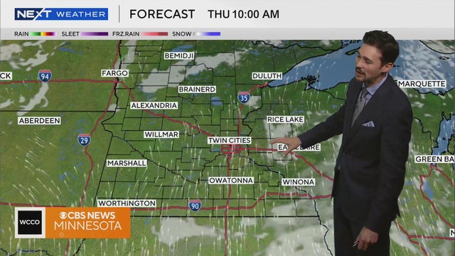
Heat and humidity will increase gradually through the end of the week, with highs in the upper 80s to low 90s by Friday.
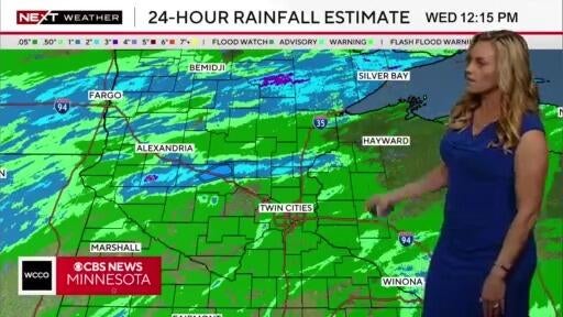
A heat advisory is in effect for the metro area until 8 p.m., and the area could see some severe storms in the evening.
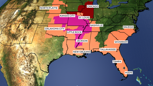
A heat dome is trapping over 90 million Americans in extreme temperatures this week with the National Weather Service issuing heat alerts from Nebraska to Florida.
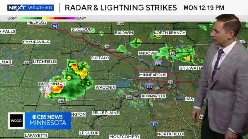
Storms are pushing through Minnesota and after they clear, warm temps and humidity are expected to return.
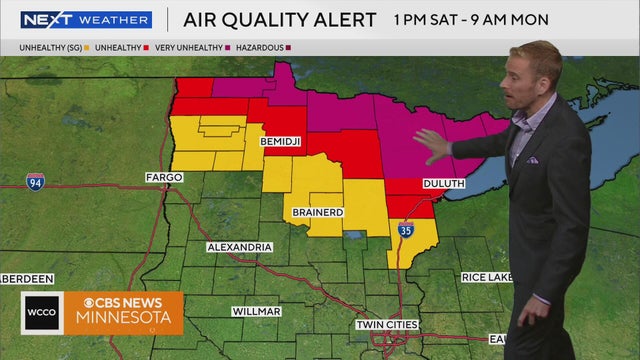
Sunshine and warm temps will return to much of the state on Saturday but northern Minnesota will be under an air quality alert.

After some Friday evening storms, the weekend will see a return to summer-like weather, with highs in the 80s and plenty of sunshine.
Minnesota will start the week mostly dry with seasonal temperatures. Later in the week, storms could develop for the holiday.
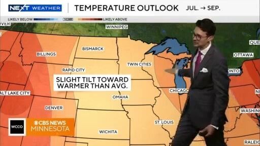
Meteorologist Joseph Dames has the latest forecast Monday morning.
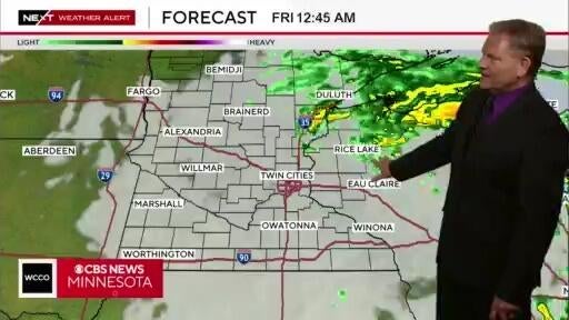
Parts of southern Minnesota are under a tornado watch until 8 p.m. but most of the rain is expected to clear out by the evening hours.
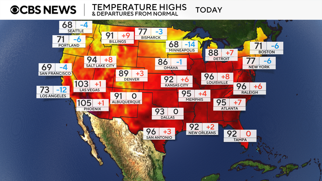
A brutal heat wave across the eastern United States trapped millions of people in sweltering air this week with record-high temperatures.
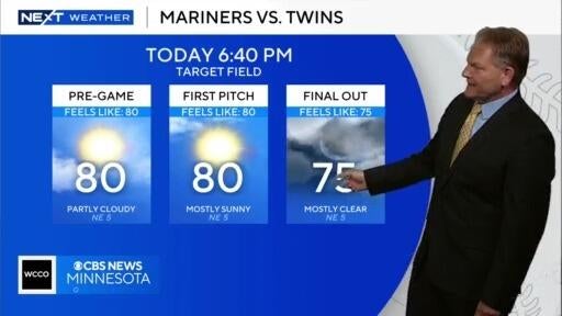
Tuesday will be a pleasant evening but there's some rain in store on Wednesday.
Expect more uncomfortable heat and humidity to continue on Sunday, with highs back in the mid-90s and heat index values reaching up to 110 degrees.
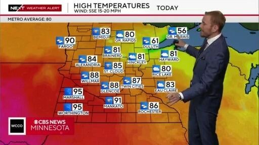
After some potentially severe storms on Friday, things will really start to heat up Saturday and Sunday.
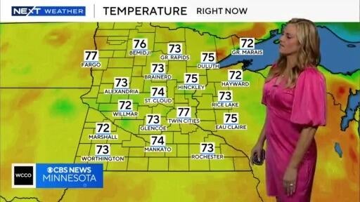
There will be some storm chances in southern Minnesota on Tuesday and Wednesday, and the temps this week will start to heat up.