
October kicks off with highs in the 80s in Twin Cities
Expect clearing skies and highs in the 80s on Wednesday. Thursday will be very similar.
Watch CBS News
Expect clearing skies and highs in the 80s on Wednesday. Thursday will be very similar.
Summer-like warmth will hold for the next few days in Minnesota, before weekend storms and an eventual cooldown.
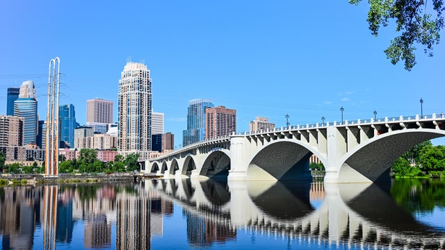
The Twin Cities will be dry and warm for most of the week, with daily highs in the 80s for the next few days.
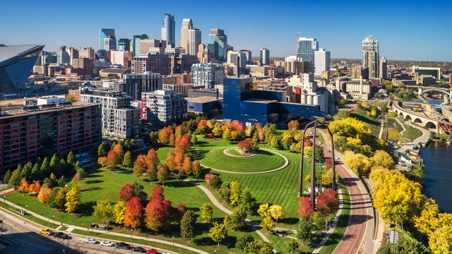
After a chilly start, highs near 80 and plenty of sunshine will make for a third straight #Top10WxDay in the Twin Cities on Sunday.
High temperatures are expected to be well above average this weekend and the following week.

The Twin Cities will see foggy mornings and warm afternoons for the next few days.

Expect more fog early Wednesday in the Twin Cities before sunshine reigns.
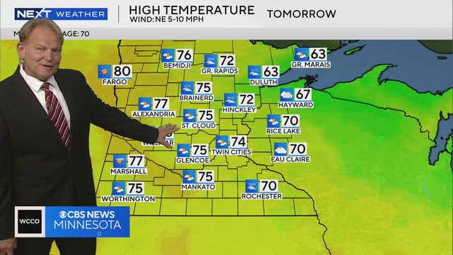
High temperatures are expected to be around the 70s across central and southern Minnesota on Tuesday, with cooler temps in the northeast region, Next Weather meteorologist Chris Shaffer says.
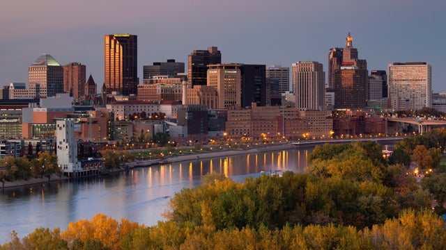
After some lingering rain moves out Monday morning, the Twin Cities will likely see quiet and seasonable weather for the rest of the week.

Minnesota's stormy stretch is just about done, making for a mostly dry Sunday for much of the state.
The slow-moving storm system that has been over the region the past few days will continue to provide clouds and fog Saturday morning.
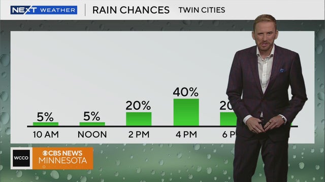
Rain chances will linger throughout the weekend.
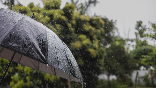
Showers and storms will pester parts of Minnesota on Wednesday, with the bulk of the action in the Twin Cities expected in the afternoon.
Tuesday's summery heat is on its way out in Minnesota, but highs will remain above average on Wednesday with humidity to boot.
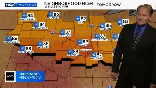
Meteorologist Chris Shaffer says Tuesday and Wednesday will be warm and humid, with rain forecasted on the latter of the two days.
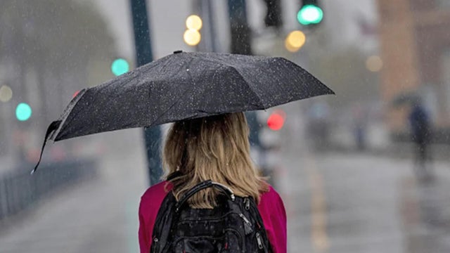
Isolated showers are possible into the evening on Monday in the Twin Cities ahead of a hot and steamy Tuesday.
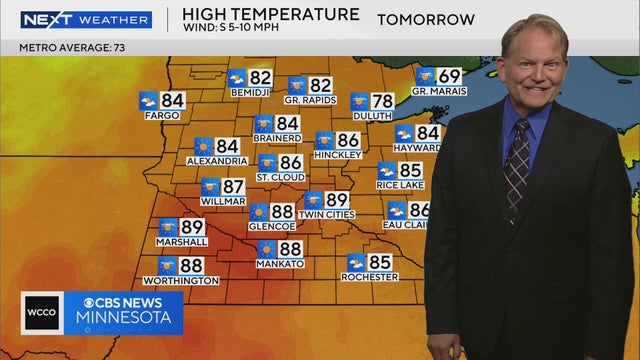
Some areas of Minnesota will warm to the 90s on Tuesday, with humid conditions expected, according to Next Weather meteorologist Chris Shaffer.
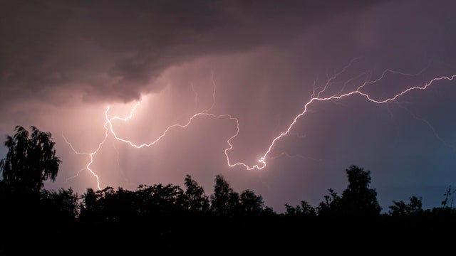
A few isolated storms will fire later Sunday evening across western Minnesota. Some storms could make it east toward the Twin Cities by dawn.
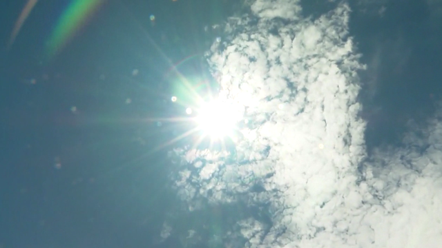
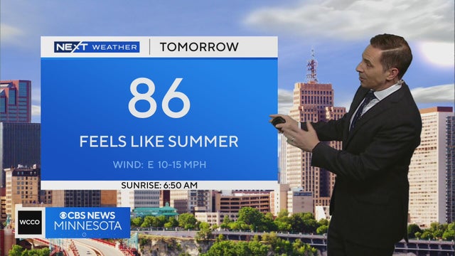
Thanks to a stalled storm system to our west and southerly winds, high temperatures will be in the mid-80s on Saturday afternoon across the Twin Cities, but it will feel closer to 90 due to humidity.
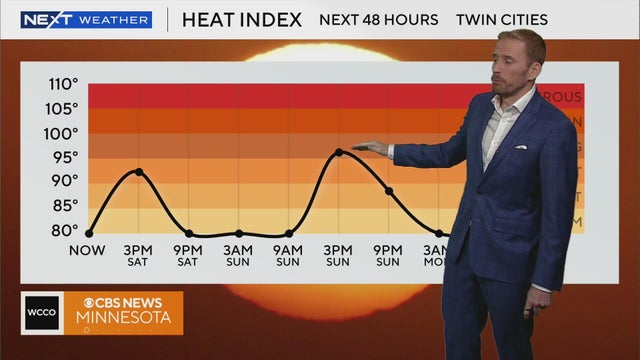
It's going to be a hot one today and tomorrow!
Saturday and Sunday will be hot, with feels-like temperatures between the high 80s and mid-90s, meteorologist Mike Augustyniak says.
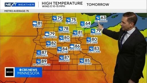
Next Weather meteorologist Mike Augustyniak says scattered showers are expected to clear out of central Minnesota on Friday evening before a hot weekend.
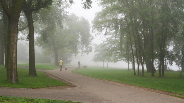
The Twin Cities will see more fog on Wednesday night and early Thursday, with the latter shaping up to be a #Top10WxDay.
Minnesota is in for a warm-up starting midweek that will eventually bring highs back into the 80s.
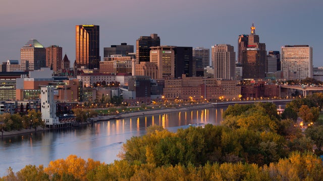
Warmer temperatures return to the Twin Cities on Monday, with storms possible later on.