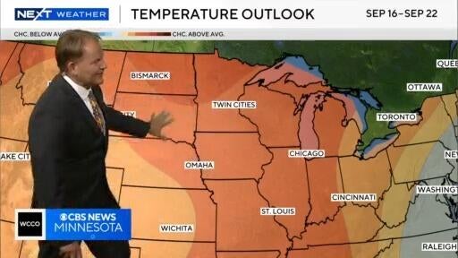
NEXT Weather: 10 p.m. report for Minnesota on Sept. 8, 2025
Next weather meteorologist Chris Shaffer says to prepare for the return of summer heat in the coming days, with above-average temperatures forecasted across Minnesota next week.
Watch CBS News
Next weather meteorologist Chris Shaffer says to prepare for the return of summer heat in the coming days, with above-average temperatures forecasted across Minnesota next week.
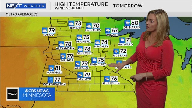
Temperatures will be in the 70s on Monday in the Twin Cities, with a chance for storms to roll through in the evening, according to Next Weather meteorologist Lisa Meadows.

Sunday will feature more sunshine and calmer conditions, with highs reaching the mid-upper 60s.

While a mix of sun and clouds will be around for the day, a stray shower can't be ruled out, and high temperatures will make their way into the low 60s by the afternoon hours.
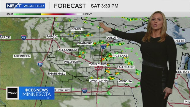
Meteorologist Lisa Meadows says parts of northern Minnesota could see some rain Saturday morning, with central areas of the state seeing showers in the afternoon.
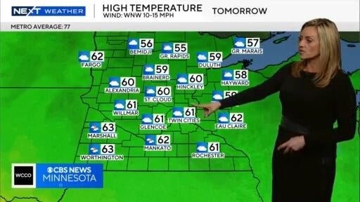
Next Weather Meteorologist Lisa Meadows says high temperatures across Minnesota on Saturday will be between the high 50s and low 60s.
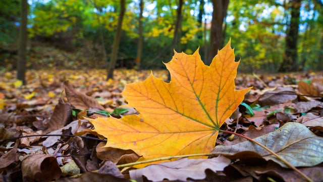
In the wake of Tuesday's front, expect a mostly cloudy, cool and breezy day in the Twin Cities on Wednesday.
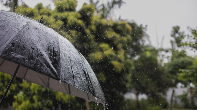
A strong cold front moves into the Twin Cities Tuesday, bringing scattered storms and fall-like days behind it.

Labor Day will be mostly sunny and pleasant in Minnesota, but an impending cold front will give us a preview of fall by midweek.
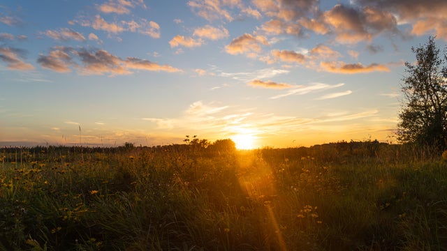
Pockets of dense fog Sunday morning will give way to sunshine and seasonable temperatures in the afternoon, with highs close to 80.

Southern Minnesota could see scattered showers and weak storms on Wednesday as highs climb close to 80 in the Twin Cities.
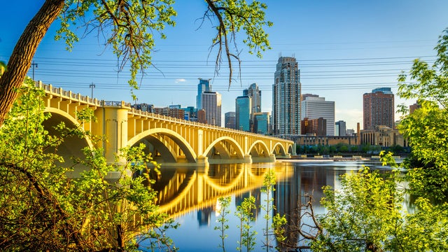
Clouds will decrease as highs climb into the low to mid-70s on Tuesday in the Twin Cities.

Highs will top out right around 70 in the Twin Cities, with lighter winds and plenty of sunshine.
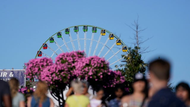
The cool air continues to settle in Sunday, with afternoon highs staying in the 60s.
Now that a cold front has moved through the area, breezy winds and cooler temperatures are here, bringing a taste of fall to Minnesota and western Wisconsin.
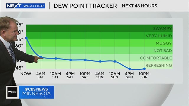
The humidity level in expected to drop over the weekend, making for comfortable conditions outside, according to meteorologist Chris Shaffer.
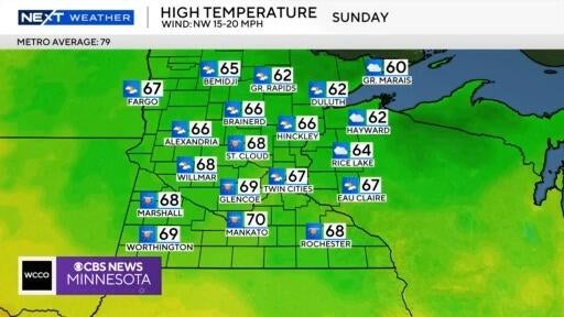
Meteorologist Chris Shaffer says Sunday could be one of the coldest days of the State Fair in years, with temperatures forecasted in the high 60s.
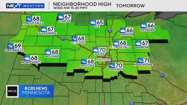
High temperatures will be in the high 60s and low 70s across central Minnesota on Saturday, according to Next Weather meteorologist Chris Shaffer.
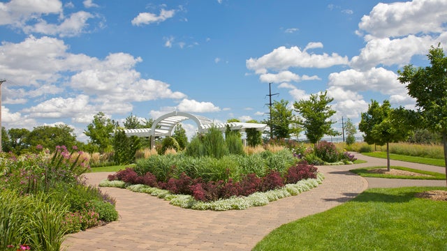
Wednesday will be warm and slightly humid in the Twin Cities, but things will cool down for the first weekend of the Minnesota State Fair.
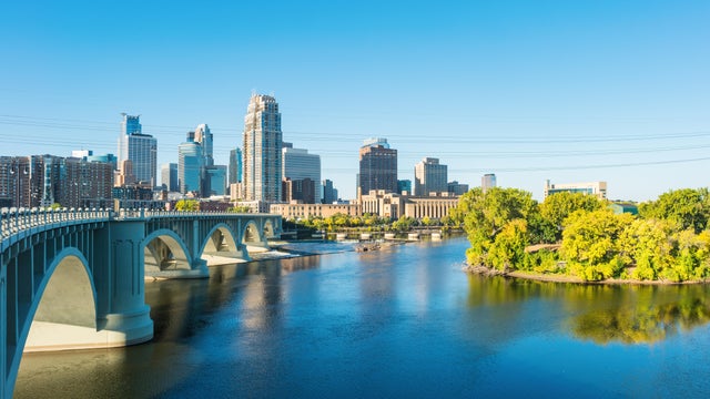
The Twin Cities will see patchy fog form again on Tuesday night with clear skies and light winds.
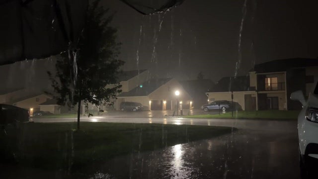
After some lingering rain moves out Monday morning, the Twin Cities will see partly sunny skies ahead of a cooler, drier week.
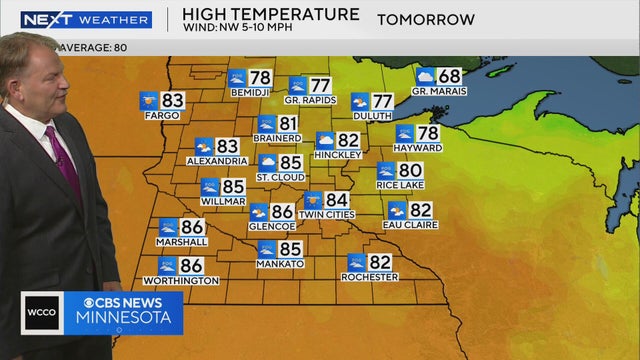
Tuesday is expected to be dry and humid with widespread fog early in the day, according to Next Weather meteorologist Chris Shaffer.

A NEXT Weather Alert is in effect Sunday evening as parts of the state are preparing for another onslaught after morning storms.
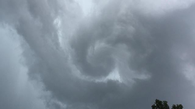
The severe storms that rolled through Saturday morning are done for the time being.

A Next Weather Alert is in effect until Saturday at 4 a.m. as storms roll across Minnesota.