Thursday brings warmer, higher humidity in Philadelphia region, touch of showers. Here's the weather forecast.
Summer is making another appearance today. We're already in the mid 70s this morning, and temperatures climb into the mid 80s this afternoon with noticeably higher humidity.
Most of the day is still very usable. Expect clouds mixed with some sunshine, and while a shower could pop up this afternoon, the better chance is north and west of Philadelphia.
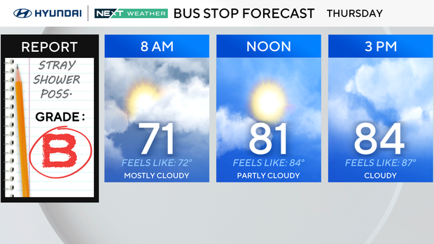
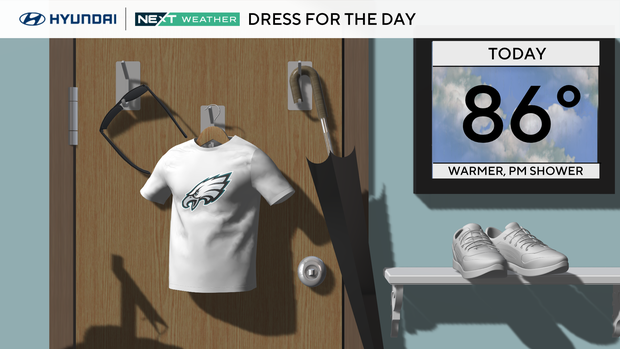
This is more of a sunglasses day than an umbrella day, although having the umbrella nearby isn't a bad idea if you'll be out late. Dewpoints are well into the 60s, so it will feel considerably muggier than the past few days, with temperatures feeling closer to the upper 80s at times.
NEXT big weather changes
The first change comes tonight as a cold front crosses the region. A few scattered showers and perhaps a rumble of thunder are possible with the front, but widespread heavy rain or severe weather is not expected.
Behind it, Friday turns drier and less humid. It will still be warm with highs in the mid 80s, but the drop in humidity should make the afternoon feel considerably better.
Saturday remains the pick of the weekend. Expect a mix of sun and clouds, comfortable humidity and highs in the upper 70s. If you have outdoor plans this weekend, Saturday is the day to prioritize them.
The bigger change arrives Saturday night into Sunday as moisture returns and another system approaches. Clouds increase Saturday night, then rain becomes more likely Sunday, especially during the afternoon. A few thunderstorms are possible and some of the rain could be locally heavy.
That unsettled pattern may linger into Monday and Tuesday, with clouds, occasional showers and a significant cooldown. Highs fall to around 70 Monday and potentially only the upper 60s Tuesday as fall officially begins.
At this point, no Next Weather Alert Day is warranted, but Sunday is the day we'll be watching most closely as the rain timing and potential amounts come into better focus.
Here's your 7-day forecast:
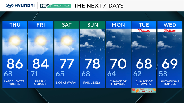
Thursday: Late shower north?. High 86, Low 68
Friday: Partly cloudy. High 84, Low 71
Saturday: Not as warm. High 77, Low 65
Sunday: Rain likely. High 78, Low 68
Monday: Chance of showers. High 70, Low 64
Tuesday: Chance of showers. High 68, Low 62
Wednesday: Showers and a rumble. High 69, Low 58
Get the latest weather info on the CBS News Philadelphia app.


