Widespread rain chances arrive Thursday, dry out by Sunday
Thursday is our day for widespread rain.
Watch CBS News
Thursday is our day for widespread rain.

Keep your rain gear handy! We're tracking more scattered rain and storms in North Texas this week.

Grab your umbrella! Your First Alert Weather Team is alerting you to scattered showers and storms this week.
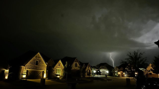
Oncor says its teams are continuing to work to get power restored ahead of another hot day across North Texas.
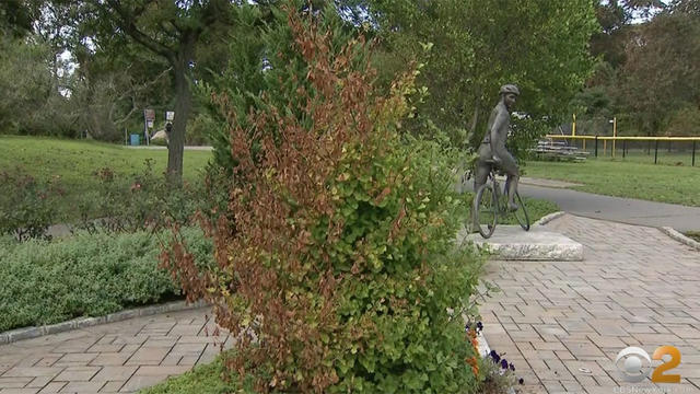
What should you do if you have a tree that looks like it is dead or dying?

Sunday is starting off with a bit of clouds due to a complex of storms to the west. A few showers could hold together in our western areas but they won't make it to the Metroplex.

Soon we will see the end of drought and heat and the return of a bit of rain and cooler days.

Hang on just a little longer! Rain and cooler temperatures are on the way.

From 5 p.m. until 9 p.m. Thursday, ERCOT asks that residents and business owners conserve energy due to high forecasted temperatures, low wind and declining solar power generation.

Your CBS News Texas First Alert Weather Team has posted Weather Alerts due to the dangerous heat, but we're tracking some relief ahead.
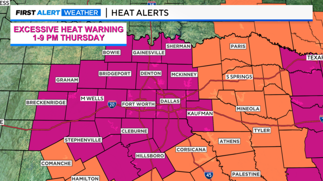
The heat advisory we are currently under has been extended until 1 p.m. Thursday.
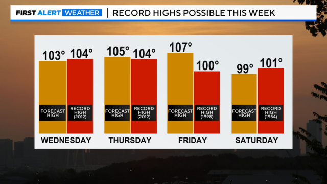
Feels-like temperatures will be between 105 and 110 degrees. Actual high temperatures will be around 103 degrees Wednesday afternoon, which will be close to our record high of 104 degrees set back in 2012.
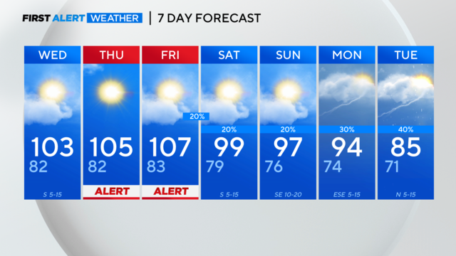
By Thursday and Friday, we're expecting to meet excessive heat warning criteria.

Brace yourself for some dangerous heat this week, but big changes are ahead, starting this weekend.
We're forecasting a high of 102° Tuesday, after a warm and breezy overnight.

Triple-digit temperatures return this week.
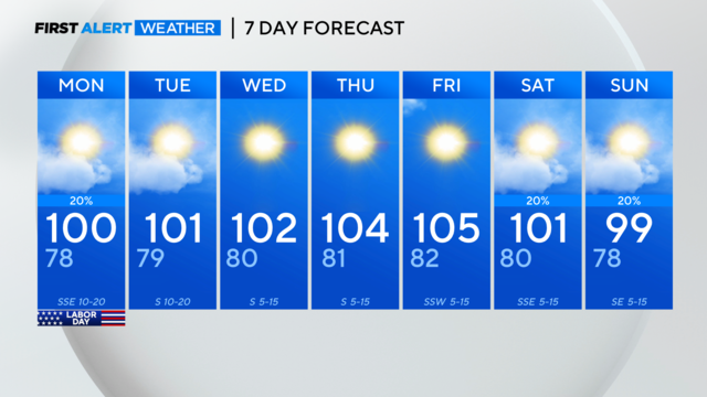
We broke our 48-day dry streak at DFW Sunday!

A disturbance moving westward will provide the lift and moisture for scattered rain and a few storms Sunday afternoon and evening.
We are back to 100 degrees for Sunday and Labor Day. The first week of September is looking sizzling with a ridge over us, lots of sunshine and more triple digit temperatures are on the way.
Your Friday night lights forecast is mostly clear with temperatures in the low 70s.
Thursday will have high temperatures in the mid to upper 90s under sunny skies and it won't feel as hot due to lower humidity values. But temperatures will get back into the triple digits by Sunday into Monday.
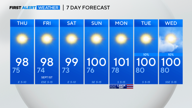
We're keeping the forecast highs below 100° for the next few days!
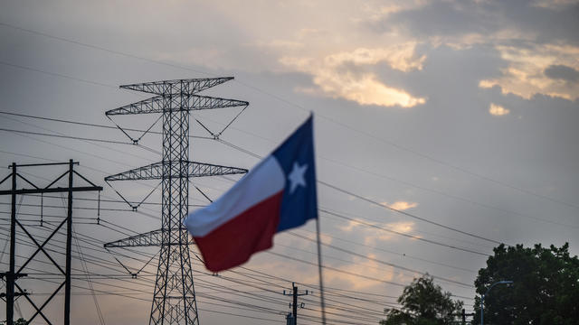
For the second day in a row, ERCOT is asking Texans to conserve energy.
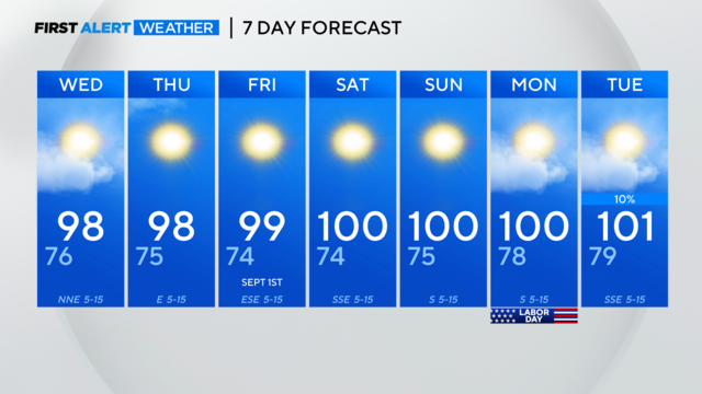
High temperatures will continue increasing over the next few days.
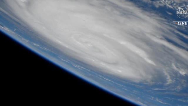
Hurricane Idalia is expected to make landfall on Florida's Gulf Coast on Wednesday.