Extreme cold to strike North Texas from Sunday to Tuesday
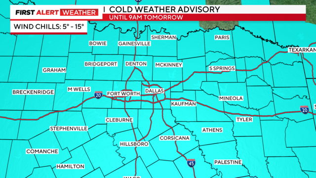
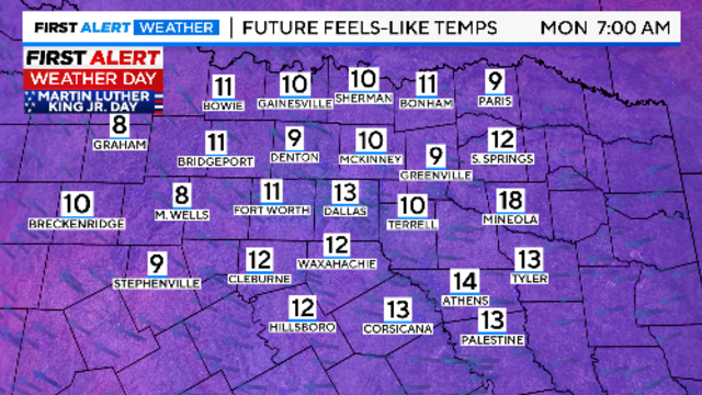
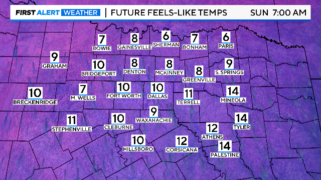
An Arctic front will arrive, bringing dangerous wind chill temps on Sunday, Monday and Tuesday mornings.
Watch CBS News
An Arctic front will arrive, bringing dangerous wind chill temps on Sunday, Monday and Tuesday mornings.
An arctic front will move through overnight, dropping temps to the upper 30s to low 40s by Saturday morning.
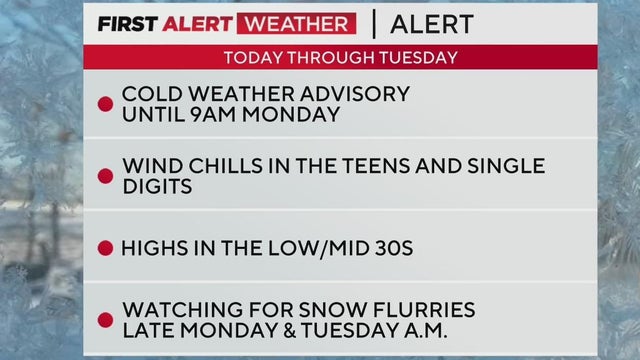
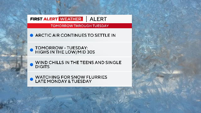
First Alert Weather days are in place from Sunday through Tuesday for dangerously cold wind chills and the low chance of flurries.
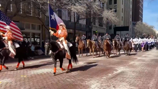
In Fort Worth, the message is clear: "Saddle up and bundle up" for the cold weather this weekend.
First Alert Weather Days start Sunday and continue through at least Tuesday.
North Texas should see highs rebound into the 60s on Thursday and Friday, but it's short-lived.
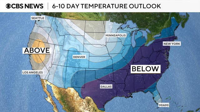
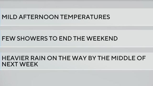
This week will be mild and pleasant before a new arctic blast cools things down.
After a mild end to the weekend and start of next week, North Texas residents should prepare for a significant temperature drop and possible wintry precipitation.
An arctic front is plunging through North Texas, sending temperatures plummeting behind it.
"The State of Texas is working around-the-clock to ensure Texans have the resources and support needed," Abbott said in a statement.
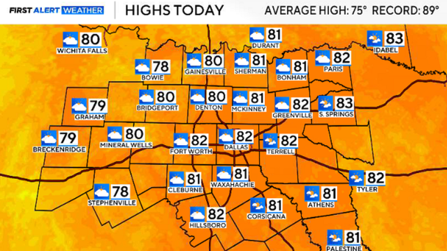
After a week of winter storms and icy conditions, North Texas will enjoy a sunny, comfortable Sunday before a significant cold front moves in next week.
Patchy ice is expected on roads along the Red River Valley for Sunday morning.
While temperatures will warm up by mid-morning, refreezing remains a concern, particularly north of the Metroplex.
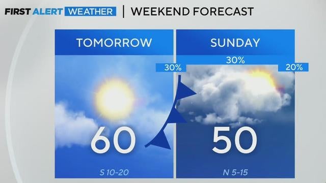
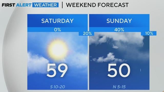
While sunshine and milder temperatures are expected on Saturday, a cold front will bring another round of chilly air to North Texas next week.
Road melt and snow/slush that survived the afternoon heating has also started to freeze on the roadways.
Whatever precipitation will remain on the ground Friday night will freeze by Saturday morning.
Late in the morning, temperatures will rise above freezing, which will "help drivers get around the Metroplex."
A winter storm warning is in effect for North Texas until 12 p.m. Friday.
Most schools and offices in North Texas are closing their doors, but many services will remain open.
A heavy wintry mix is expected for much of Thursday, including sleet, snow and rain.
Moisture and a mix of precipitation should start to move into the metroplex from the southwest starting in the morning to the mid-morning hours.
If you find yourself stranded, there's a 1-800 number listed on the back of your driver's license you can call.
A winter storm warning goes into effect at 6 a.m. Thursday and continues through 12 p.m. Friday.
The National Weather Service issued a dense fog advisory due to visibility dropping to a quarter of a mile or less.
Cold weather continues ahead of a wintery mix of precipitation Thursday morning and snow Thursday night.