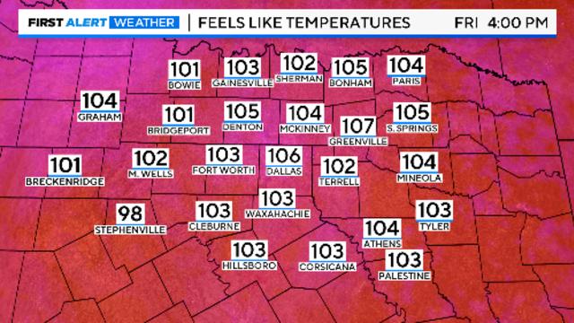
North Texas to see hottest days since August, cooler temperatures expected by Monday
Some long-range forecast models continue to show a front moving through North Texas late Sunday or Monday.
Watch CBS News
Some long-range forecast models continue to show a front moving through North Texas late Sunday or Monday.

The unseasonable heat is caused by high pressure in the upper levels of the atmosphere expanding out of Mexico.

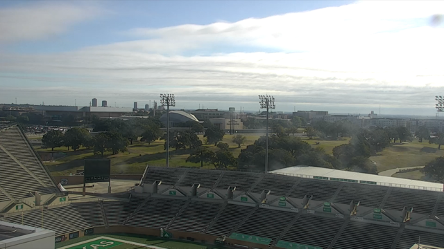
On Tuesday morning, parts of North Texas had some cloud cover moving through the area, but those clouds didn't last very long.
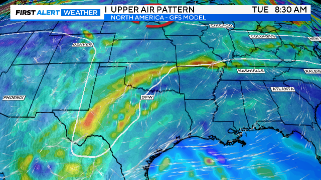
A stray rain chance is possible late this coming weekend into early next week.

The hottest temperature will be on Friday with a high of 97, about 10 degrees above average for this time of year.
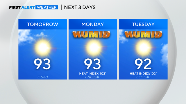
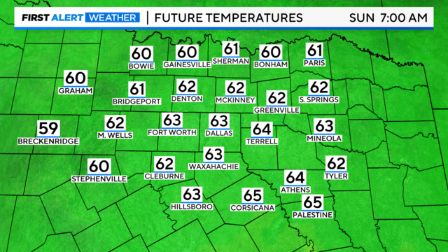
It'll be a muggy and warmer start to your Sunday morning.
High pressure will stay in place through most of next week, leading to mostly clear skies.
A strong ridge of high pressure is building over the southern plains, bringing temperatures back to summer levels.
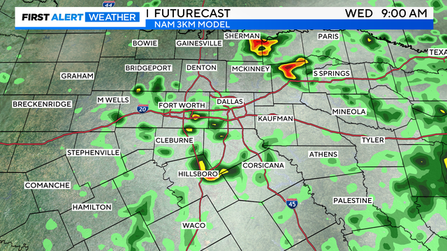
Stronger rain chances are more likely further southeast of the Metroplex.

There is a 20%-30% chance of isolated showers and storms off and on through the day Wednesday.
Enjoy one more beautiful day before the heat is back on.
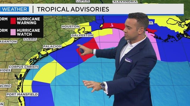
While North Texas enjoys pleasant weather, a tropical storm near the Texas and Louisiana coastlines is expected to intensify into a Category 1 hurricane by midnight and could approach Category 3 status by Wednesday.
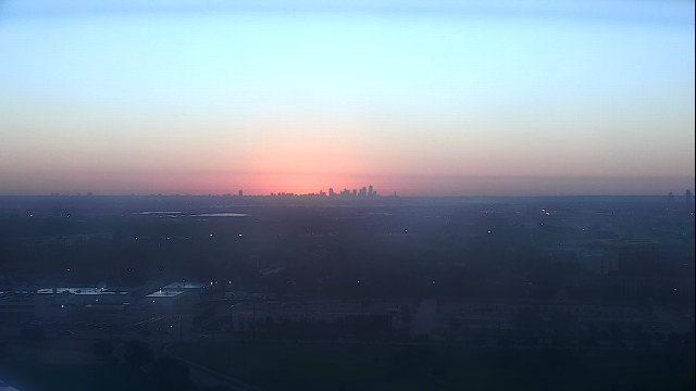
Expect a pleasant Monday with full sunshine and low humidity.
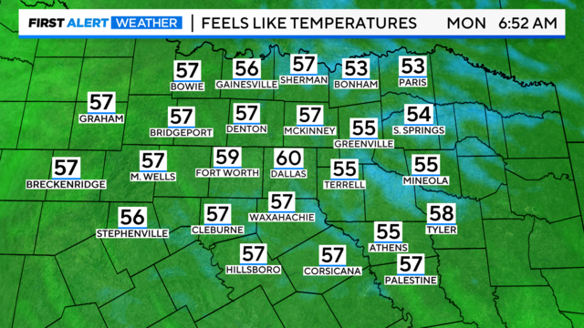
Temperatures will range from the upper 50s to the lower 60s in the mornings. Afternoons will reach the lower 80s.
A few showers are possible during Friday afternoon as a cold front moves through the area.
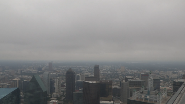
Mostly cloudy to cloudy skies hovered over Dallas-Fort Worth Thursday morning but some North Texans may have seen some peeks of sunshine.

The low-pressure system will continue to move east throughout the morning and into the afternoon.
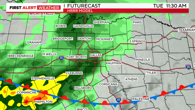
Nuisance showers and thunderstorms could affect plans and travel through Monday evening.
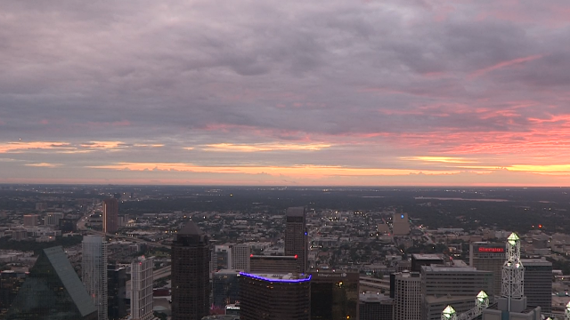
Labor Day across Dallas-Fort Worth started out cloudy with some scattered showers.
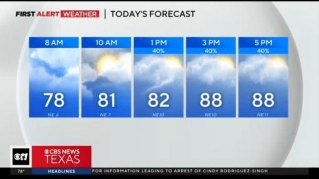
A disturbance will approach Texas Monday night and continue into Tuesday, increasing rain chances, particularly west of I-35.
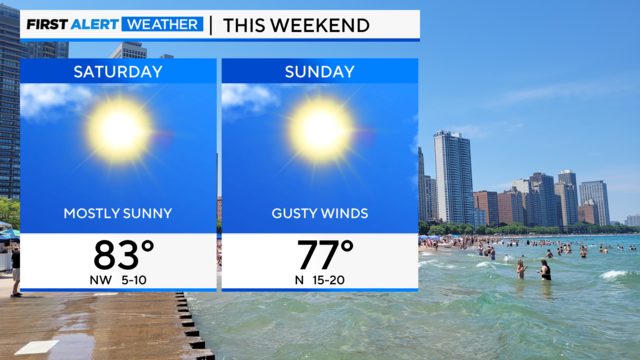
While no day is expected to be a complete washout, staying weather-aware is necessary if you have outdoor plans.
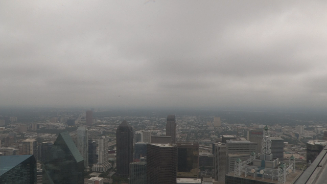
Parts of Dallas-Fort Worth started off the Labor Day holiday weekend with cloudy to mostly cloudy skies.

Rain chances continue to increase for Labor Day weekend.
First Alert meteorologists have issued weather alerts for Friday through Monday.
Some North Texans saw rain Tuesday morning and more rain is possible throughout the week.