Pittsburgh Weather: Cloudy skies with snow showers
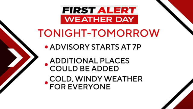
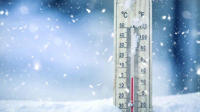
Today and tomorrow will be the coldest of the season so far.
Watch CBS News
Today and tomorrow will be the coldest of the season so far.
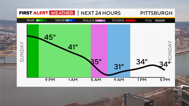
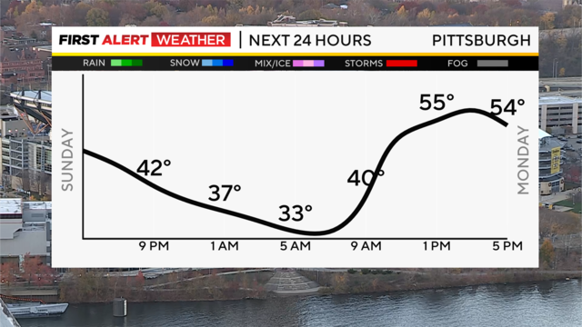
After a milder Sunday in the upper 40s and lower 50s, rain showers are moving in for the evening and late night.
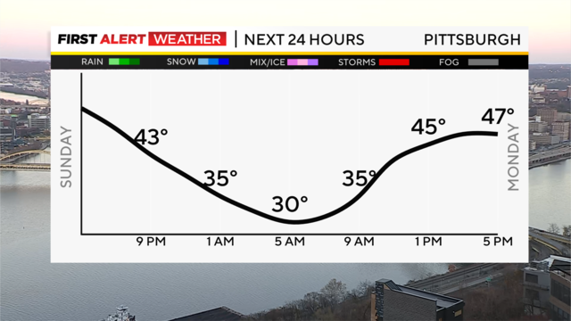
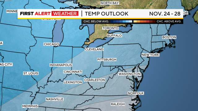
After a dry Thanksgiving and cloudy but dry Black Friday, we have some chilly air settling in for the rest of the holiday weekend and the upcoming week.
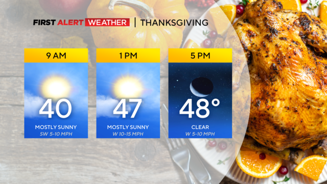
Today will be a pretty typical Thanksgiving day with highs expected to hit the mid to low 40s now.
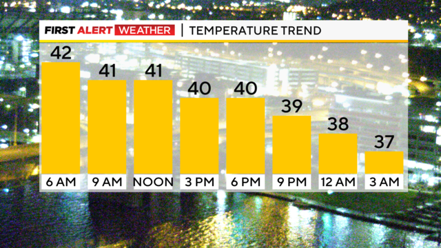
There is a chance for drizzle throughout the day.
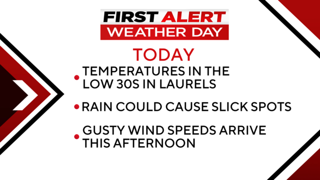
Rain has arrived, and we should be dealing with rain and windy conditions through the evening commute today.
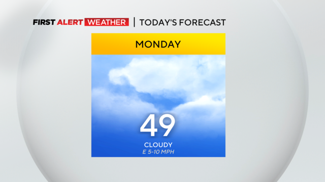
It's looking to be a dry day ahead of a rainy Tuesday!
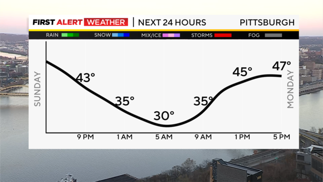
After a beautiful end to the weekend, clouds roll in through the day Monday ahead of our next rainmaker Tuesday.
It was a great day with plenty of sunshine, and we have a repeat for Sunday with highs back near 50 degrees.
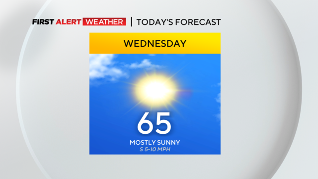
Today's high will be around 65 degrees!
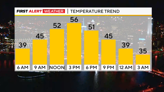
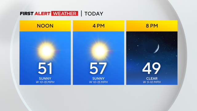
Like yesterday, expect plenty of sunshine today, with highs likely hitting the mid to upper 50s.
It's a chilly start to the morning with some areas of patchy fog.
We had a rain-free weekend, and we're heading for more sunny skies all the way through Friday!
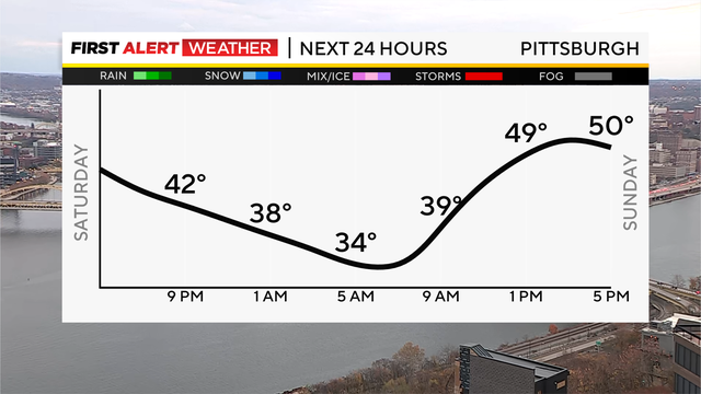
After a cloudy and chilly but dry Veterans Day, we'll start to see the clouds break overnight with lows very seasonable or "normal" tonight, tomorrow and most of the early part of this week.
Most of the day is looking pleasant!
The best chance for rain over the next week occurs tomorrow morning.
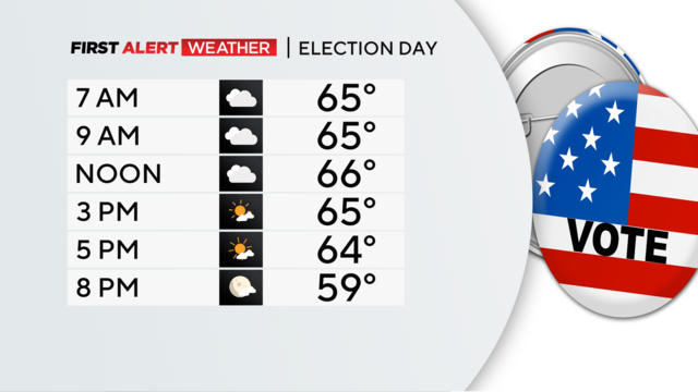
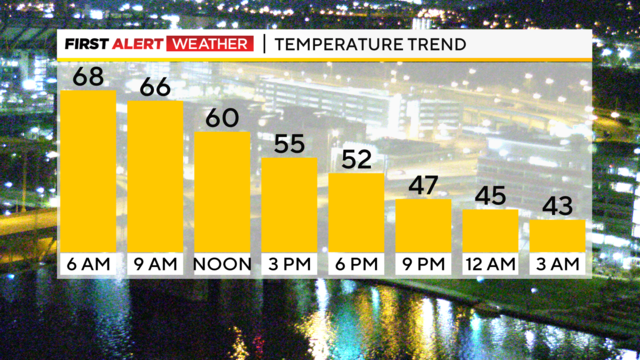
Temperatures will be in the 60's through the afternoonn.
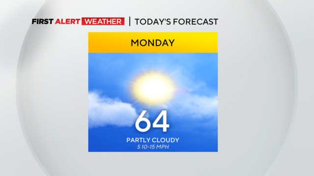
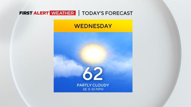
Skies should be partly cloudy with the best chance of seeing a stretch of sunny weather occurring this morning.
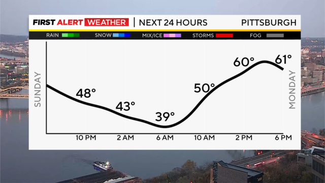
Our weekend wound up pretty mild, with highs in the lower 60s and upper 50s, which is well above normal (55 for the average high this time of year).
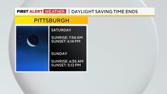
After a pretty decent afternoon with some clouds, we're in store for a quiet night.
Cold weather shelters have opened up in Westmoreland County.
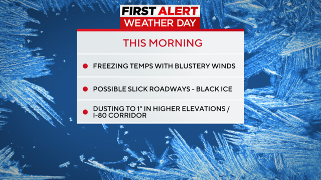
We're seeing our first round of snow for the first day of November!
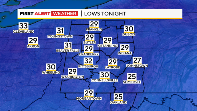
Happy Halloween! It's going to be a spine-chilling day, with temperatures only topping off in the low 40s this afternoon.
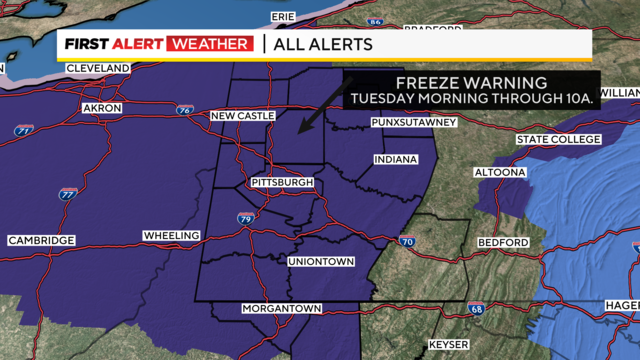
Light snow and a wintry mix are expected on Wednesday morning.
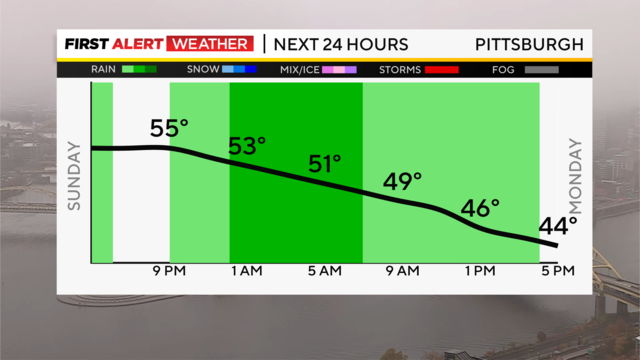
After a soggy Sunday, a second round of steady rain arrives overnight and will last through Monday morning's commute before starting to taper off around lunchtime.