Cold front on the way to North Texas, prompting First Alert Weather Day for Wednesday
A cold front is on the way and once it arrives, it will bring intense winds.
Watch CBS News
A cold front is on the way and once it arrives, it will bring intense winds.
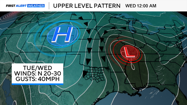
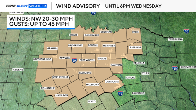
A strong cold front will bring isolated showers, powerful wind gusts, and the coldest air since early April to North Texas this week.
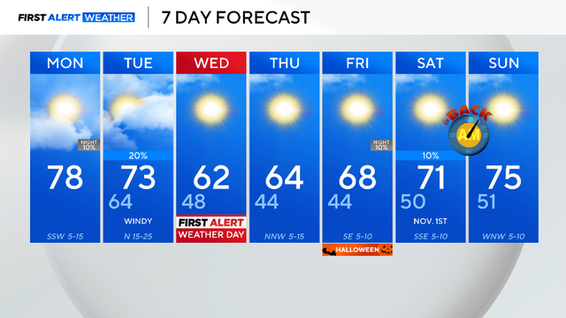
Monday will possibly be one of the warmest days in the next week, then temperatures drop to the 40s midweek.
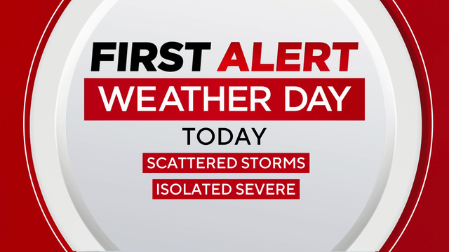
This shower activity will carry a much lower severe threat, however, we do have a 1-out-of-5 risk for strong to severe thunderstorms where these cells do develop.

The first round of storms will develop to the northwest on Thursday night and track southeast into Friday morning.
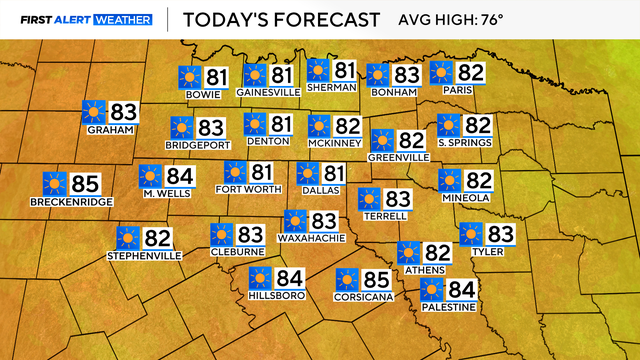
DFW Airport reached 53 degrees Wednesday morning – the coldest since May 4.
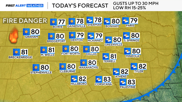
A cold front moved across North Texas this morning, which brought cooler temperatures, a dry airmass and windy conditions.
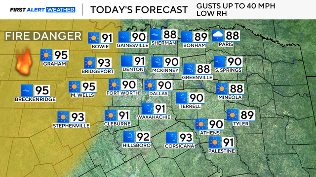
Winds could reach up to 40 mph in some parts of North Texas.
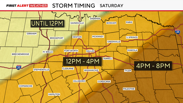
Prediction models are showing scattered storms in DFW between noon and 4 p.m. Saturday.
The First Alert Weather team continues to monitor the cold front arriving in North Texas on Saturday.
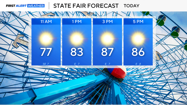
North Texans will see abundant sunshine and light winds today with highs near 87 degrees.
Winds will remain light today, with sunny skies, and highs in the upper 80s.
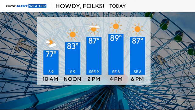
Plan for lots of sunshine and temperatures in the upper 80s on Monday.

No significant changes are in the forecast, with high pressure in control.
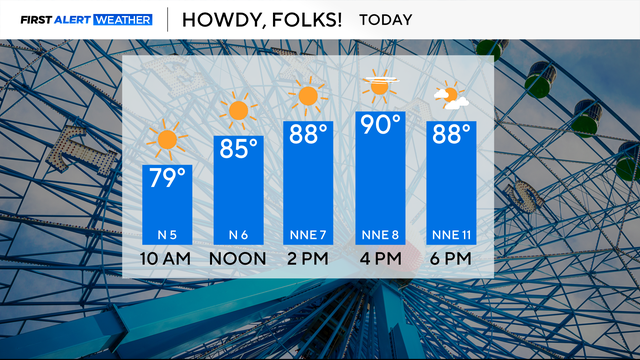
It has been an abnormally warm and dry first week of October.

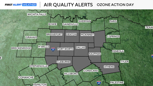
An air quality alert is also in place for Friday, meaning it will be unhealthy outside for sensitive groups.
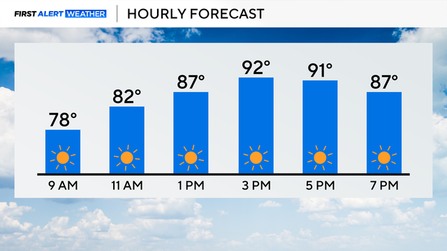
The stretch of sunny days with above-average temperatures continues in North Texas.
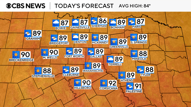
It is a hot end to the month of September. Most days have been above average temperature-wise and that trend is looking to continue starting in October.

The high for Dallas-Fort Worth is expected to top out around 87 degrees and cloud cover will be increasing with dry conditions expected.

The State Fair of Texas kicks off on Friday with a high of 87 and low humidity.
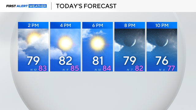
Clouds are clearing, and temperatures settle back close to normal through the end of the week.

Northbound I-35E is closed south of Sanger at Ganzer Road after three 18-wheel semi-tractor trailers were overturned.
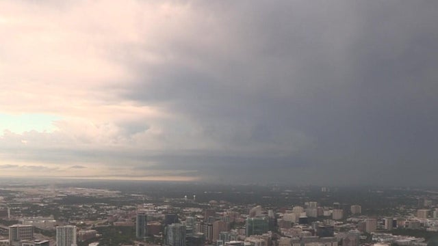
Monday started off stormy in North Texas, specifically in Denton and Collin counties.
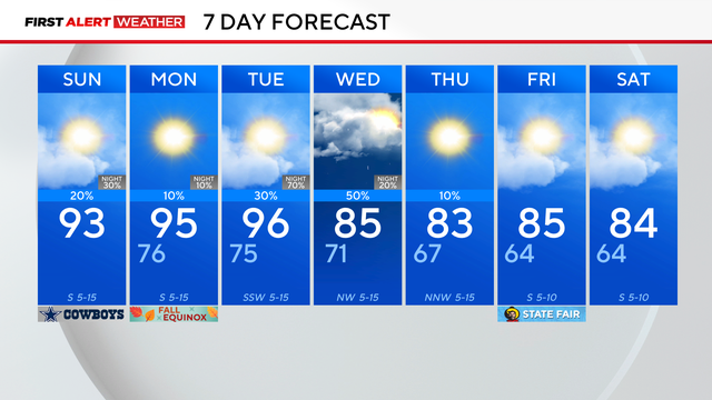
Summer is ending hot with highs in the 90s Sunday afternoon, but storms are possible for parts of North Texas.

Saturday will be another hot, above-average day across North Texas.