North Texas' work week ends with cooler weather, rain chances coming
Friday's forecast is mostly sunny with highs in the low 90s.
Watch CBS News
Friday's forecast is mostly sunny with highs in the low 90s.
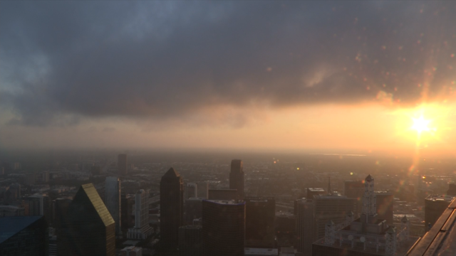
Spotty showers can't be ruled out Thursday.

Wednesday will be hot and humid across Dallas-Fort Worth despite more cloud cover on the way.

Tuesday is forecast to be the hottest day of the week, and if Dallas-Fort Worth reaches 102 degrees, it will be the hottest day of the year.

High temperatures top out in the low 100s and could feel slightly warmer.
Humidity in the area will make it feel a few degrees warmer – around 100 degrees to 104 degrees during peak heating this afternoon.

Sunshine is out in full force Friday and high temperatures will climb back to the upper 90s across Dallas-Fort Worth.
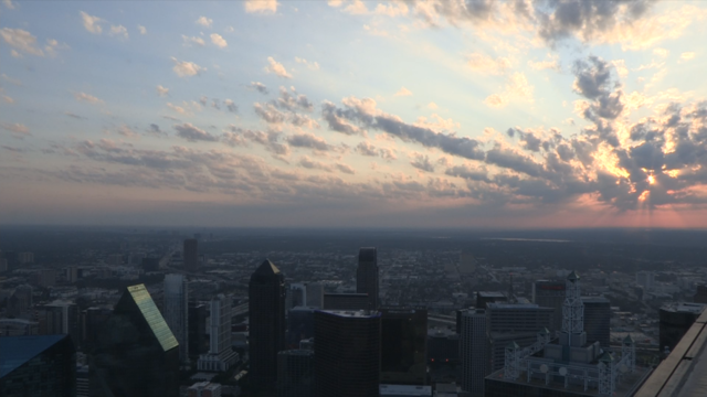
It will be another hot day across North Texas with abundant sunshine and high temperatures into the upper 90s.

Plan for the summer heat to settle in – high temperatures next week will climb back into the triple digits.

Full sunshine is in the forecast with temperatures back in the 90s.

Rain is on the way for parts of Dallas-Fort Worth after Beryl made landfall around 4 a.m. this morning near Matagorda as a Category 1 hurricane.

The latest high-resolution models show Beryl approaching east of the metroplex Monday morning and lasting through the early afternoon.

There isn't a single 100 degree day in the 7-day forecast, but some much needed rain is.
Another heat advisory is in effect Thursday due to dew point temperatures being in the low 70s, meaning temperatures will feel like 107 to 109 degrees.

As millions of Texans hit the road or head to the airport to celebrate the Fourth of July, triple-digit heat continues across the state.
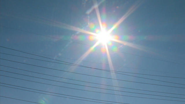
The NWS has issued an excessive heat warning for parts of North Texas from 12 p.m. to 7 p.m. today.
A heat advisory remains in effect today until 7 p.m. with the high temperatures forecasted to reach 101 degrees but will feel like up to 110 degrees.

The CBS News Texas First Alert Weather Team also issued a weather alert for dangerous heat today.
Dangerous heat continues across Dallas-Fort Worth as the weekend nears.
The heat advisory that was issued earlier this week has been extended until 7 p.m. Wednesday as feels-like temperatures are expected to reach 109 in the afternoon.

The heat advisory remains in place through 7 p.m. Tuesday.

CBS News Texas First Alert meteorologists have issued weather alerts for Monday and Tuesday due to the first heat advisory of the season.
High humidity in the area will make it feel up to 105 degrees this weekend and 110 degrees to start the week.
As Tropical Storm Alberto moves inland in Mexico, North Texas skies will begin to brighten this afternoon with highs in the lower 90s.

Cloud coverage will increase across North Texas, helping to keep temperatures in the upper 80s.