Warm weather headed to North Texas as dry conditions persist
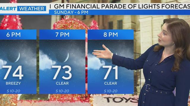
After a chilly morning with temperatures in the 30s, North Texas is expected to warm up to the low 70s this weekend, with clear skies and light winds.
Watch CBS News
After a chilly morning with temperatures in the 30s, North Texas is expected to warm up to the low 70s this weekend, with clear skies and light winds.

As the morning progresses, temperatures will warm into the 50s, followed by a beautiful afternoon with highs in the 60s.
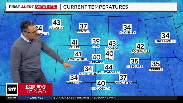
Thursday started out as a First Alert Weather Day with temperatures dipping into the 30s across parts of the metroplex. However, they will warm up to the 60s by late morning.
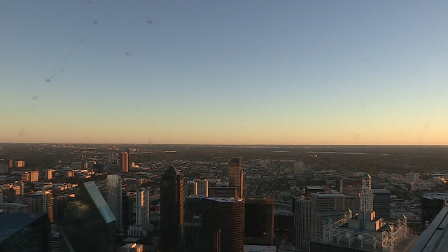
Wednesday morning was noticeably chillier as a strong cold front moved through North Texas overnight, prompting a First Alert Weather Day.

A First Alert Weather Day is in place for Wednesday, when North Texas will have its coldest day since March.
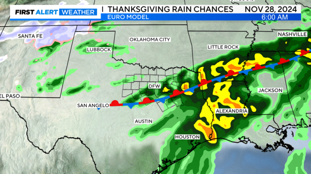
Tuesday morning will be chillier with clear skies and dry air in place, morning lows will drop into the upper 40s and lower 50s.

There were scattered storms throughout North Texas bringing heavy rain and strong wind gusts ahead of the morning commute.
Overnight into Monday morning is a First Alert Weather Day for the threat severe storms.
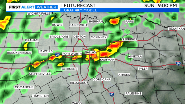
Scattered showers and thunderstorms are expected Sunday afternoon, followed by a cold front bringing severe weather potential from Sunday night into Monday afternoon.

Late Sunday and on Monday, portions of North Texas are under a slight risk of severe weather (a "2" of "5" level of risk), prompting First Alert Weather Days.
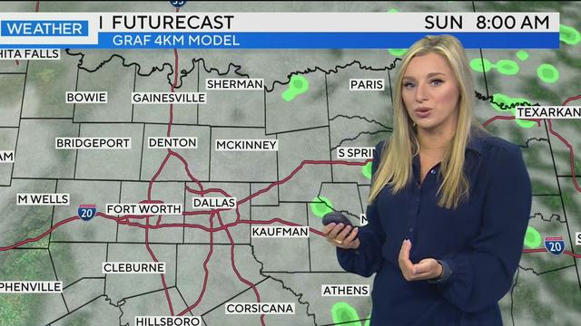
It is not until overnight Sunday into early Monday morning that the chance of severe weather will be likely.

On Friday, there will be sunny skies and temperatures warming into the lower 70s.

As the work week wraps up, North Texans are experiencing a mix of chilly mornings and warmer afternoons.
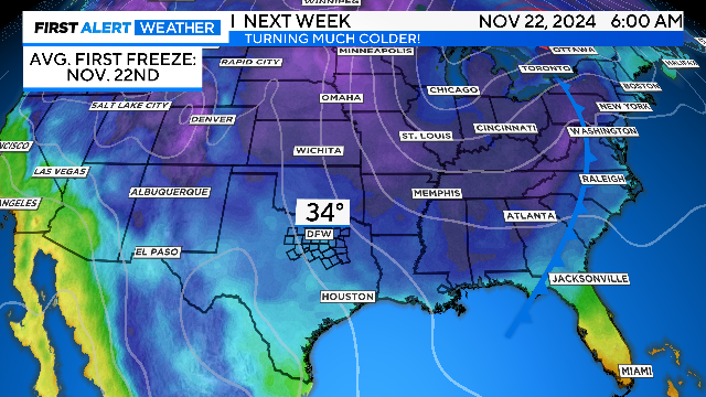
Chilly starts are ahead the next two mornings. Turn those heaters on or get the fireplace going.
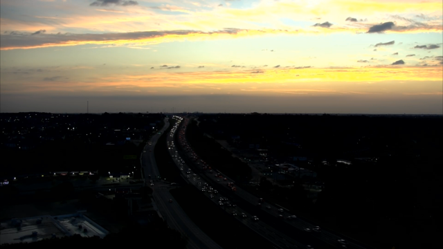
Once the front passes through by midday, the winds turn northwest, the clouds clear and it will get breezy and warm.

Tuesday morning started off chilly across Dallas-Fort Worth with temperatures in the low 50s and upper 40s.
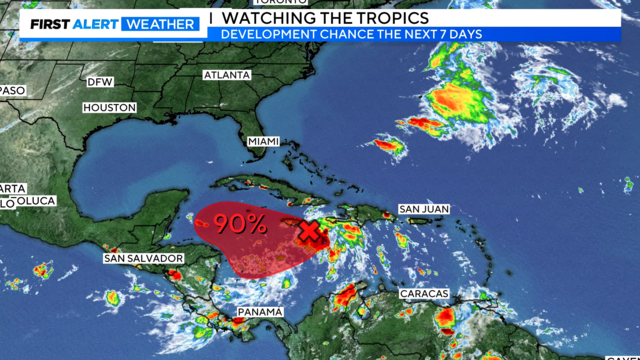
First Alert Meteorologist Jeff Ray explains why the storm expected to hit Florida next week is already something to watch.
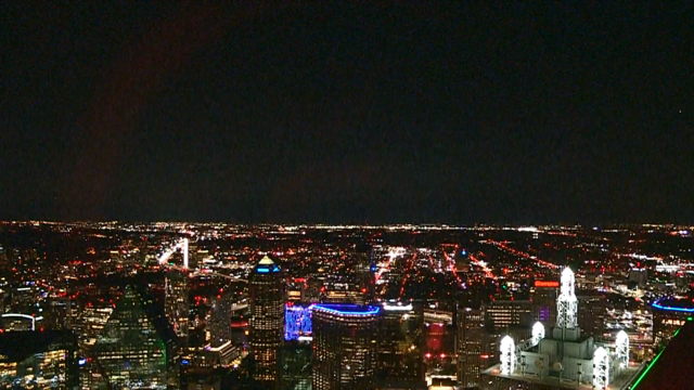
Overnight, temperatures should drop into the upper 40s to lower 50s.

CBS News Texas meteorologists issued a First Alert Weather Day for Friday due to widespread rain and isolated storms.
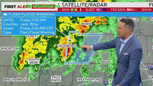
A First Alert Weather Day is in effect for North Texas as light rain and drizzle impacts the area. With heavy rainfall expected to worsen through the morning, residents are urged to stay alert for severe weather and potential flooding risks.
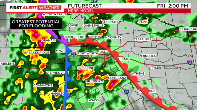
By Friday afternoon, we could have intensified cells and expanded coverage across DFW.
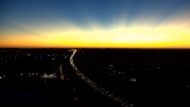
Expect the sunshine to be out in full force on Wednesday with great afternoon temperatures.
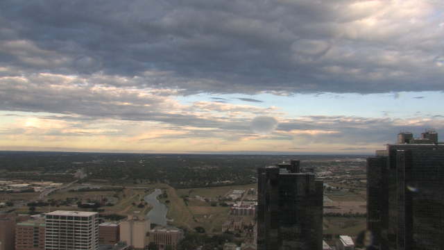
Temperatures across North Texas were about 15 to 20 degrees cooler Tuesday morning compared to the same time Monday morning.
Much cooler and drier conditions are expected Tuesday and Tuesday night
Severe thunderstorms are expected Monday and a possible squall line with damaging winds and brief, spin-up tornadoes could form. Localized flash flooding is also in play.