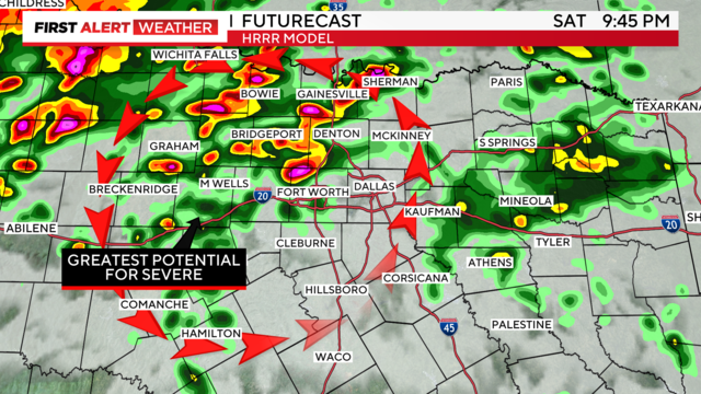
Severe weather pattern returns to North Texas, bringing heavy rainfall
A heavier rain threat with possible flash flooding is ahead Sunday morning.
Watch CBS News
A heavier rain threat with possible flash flooding is ahead Sunday morning.

A weather alert is issued for Saturday, Sunday and Monday for the widespread showers and the risk of severe storms.
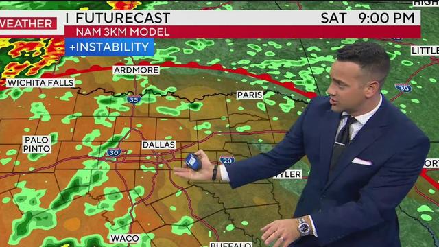
We'll see more widespread shower and thunderstorm coverage in the afternoon on Sunday, also with a severe threat.
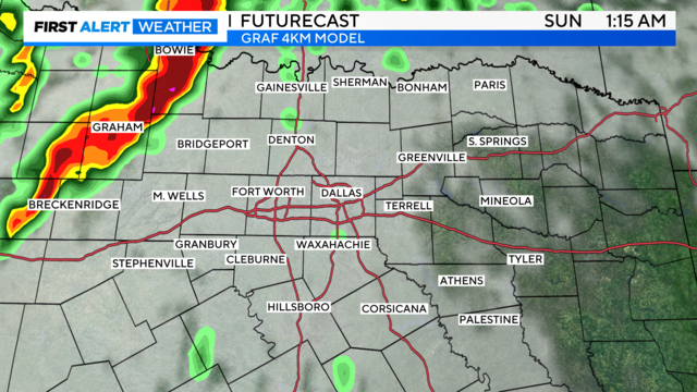
Dig out the rain gear and keep it handy this weekend.
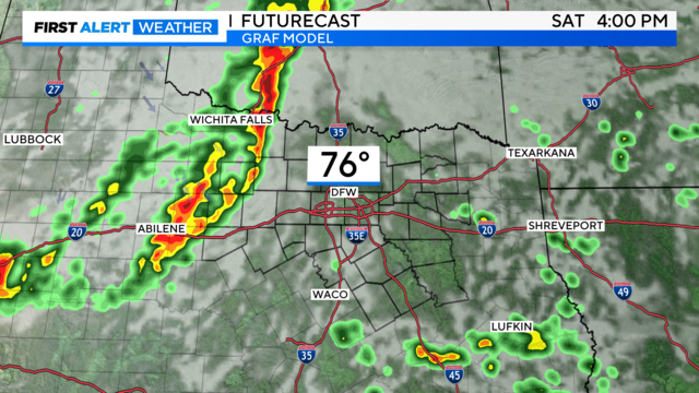
Rainfall is back in the forecast, which is great news, but some storms have the potential to reach severe criteria.

North Texas is cooling down after overnight storms moved through Wednesday night.

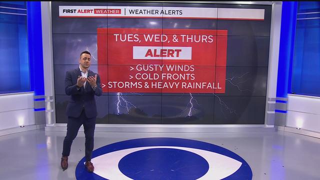
Strong winds continue Tuesday night and Wednesday with passing showers before the squall line arrives Wednesday night.

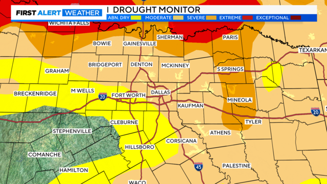
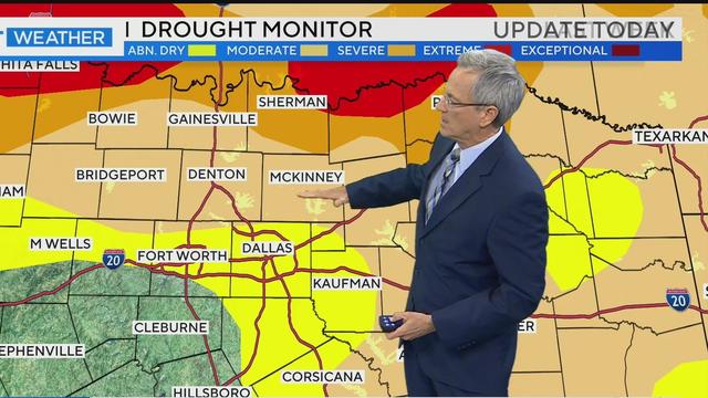
After what has been one of the driest Octobers on record, the rain will be a welcome sight.
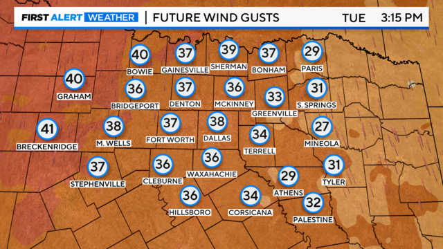
We are tracking several changes this week, with First Alerts starting Tuesday due to strong southerly winds.

A weather pattern change headed to North Texas will bring some much-needed rain into the forecast.
By Thursday, the activity appears to be pushing out before the evening, possibly clearing the way for trick-or-treating, though this is not definitive.
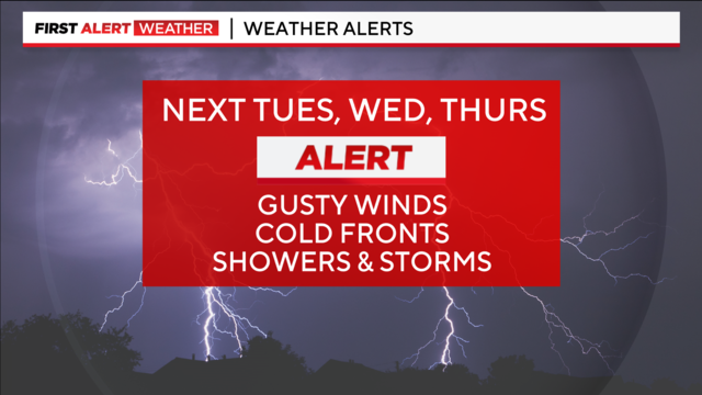
Prepare for a big weather pattern change next Tuesday, Wednesday and Thursday.
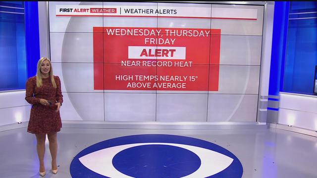
Dry and hot conditions will linger through Friday. A weekend front will dip temperatures into the mid-80s, with no chance of rainfall until the night before Halloween.
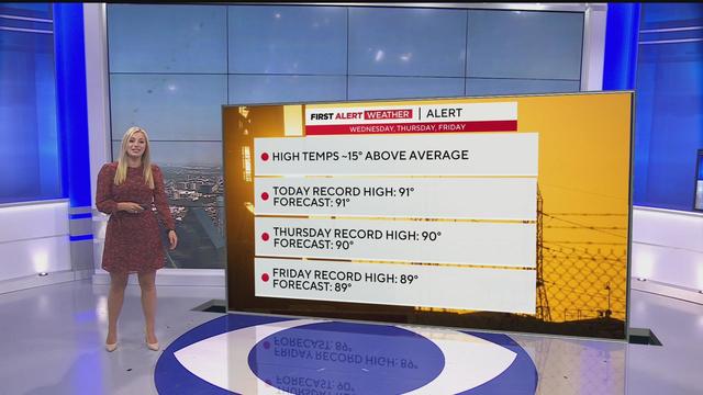
With highs reaching the low 90s through Thursday and Friday, residents are encouraged to stay hydrated as North Texas braces for a heatwave that could tie century-old records.

Wednesday is another hot day in North Texas with near-record heat sticking around.

Wednesday and Thursday will be as much as 16 degrees above average for North Texas this time of year.

Monday morning was a tale of two outfits for North Texans – sweatshirts in the morning and short sleeves by the end of the day.
Another dip into what feels like the 40s and 50s by Monday morning.
We'll start out a bit chilly again, with feels-like temperatures in the 40s to 50s and round out in the upper 70s to low 80s.
Another cold night is in store for us. You might need that car heater on in the morning again.
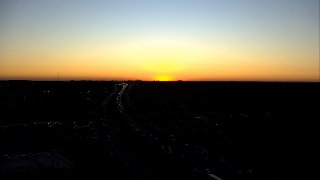
Thursday morning, North Texans woke up to the coolest morning since April 22.

Temperatures will begin to warm up Thursday but will remain at seasonal averages in the lower 70s.
Temperatures in some parts of North Texas were 21 degrees cooler on Wednesday morning than on Tuesday morning.

By Wednesday morning, temperatures will be in the 40s and 50s.
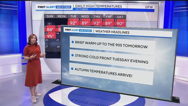
A cold front moved through earlier Monday morning, bringing us a beautiful autumn afternoon.