NEXT Weather: Heavy rain, flooding to impact Monday commute
The heaviest of the rain has ended across the Philadelphia area, but light to moderate showers will be possible through midday before some drier air begins to move in.
Watch CBS News
The heaviest of the rain has ended across the Philadelphia area, but light to moderate showers will be possible through midday before some drier air begins to move in.
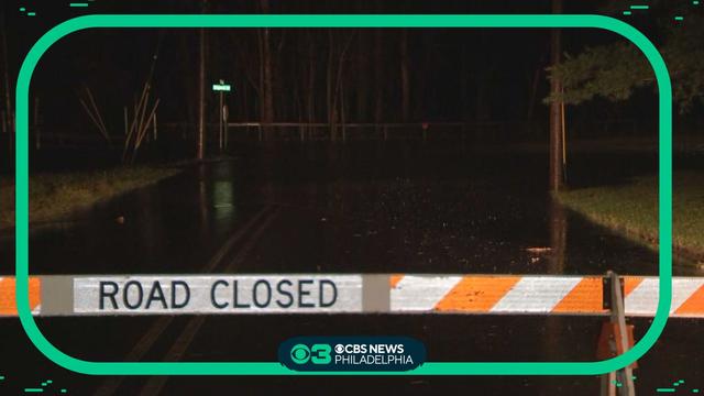
Poor travel conditions have been reported across Montgomery and Bucks counties, and multiple roads are closed Monday morning due to flooding and ponding. https://www.cbsnews.com/philadelphia/news/flooding-power-outages-pennsylvania-new-jersey-delaware-rain/
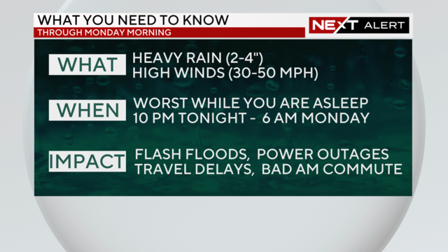
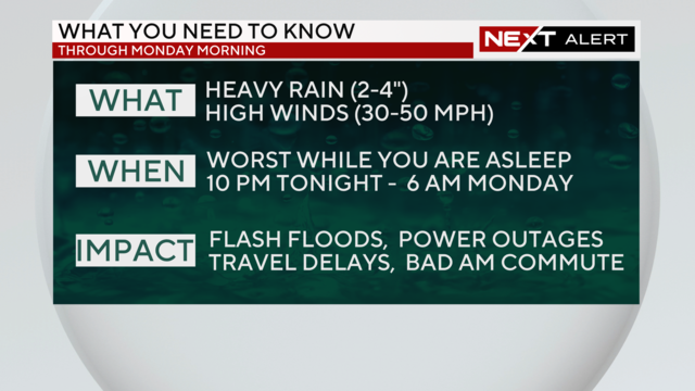
Sunday's widespread, long-term rain event moves into Monday. Heavy rain and wind gusts up to 30-50 mph could lead to localized flooding and possible power outages.
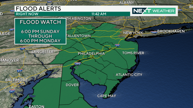
The heaviest rain will arrive in the Philadelphia region on Sunday night, making for a dreadful Monday morning commute.
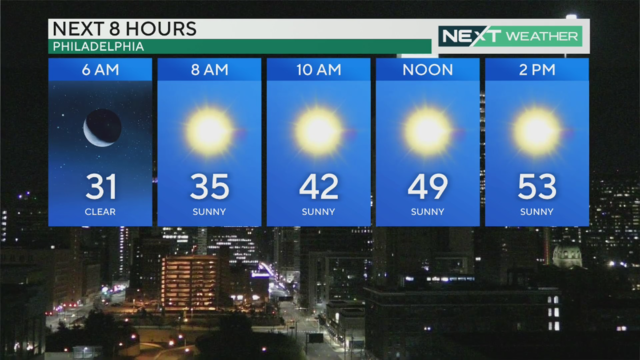
Temperatures return to the 50s Saturday before another strong storm system arrives Sunday into Monday
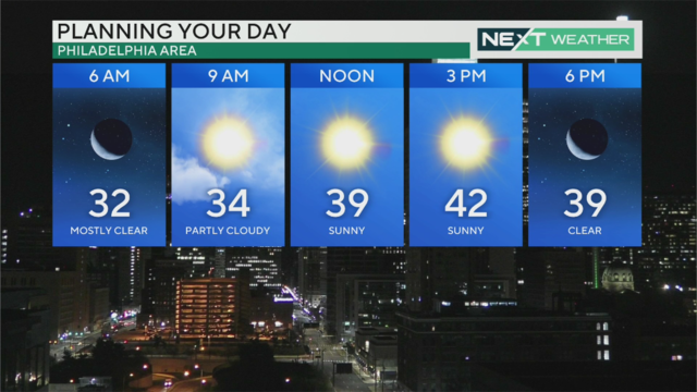
Thursday will be the coolest day of the week with highs in the low 40s, but warmer temperatures in the 50s return Friday.
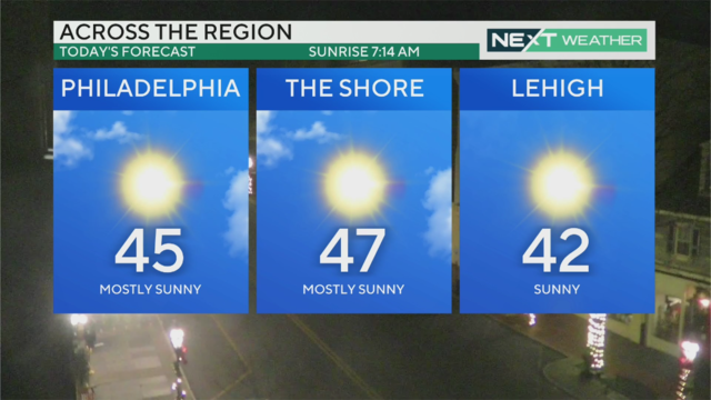
Another sunny day Wednesday before a front passes ushers in colder air Thursday, when temps will struggle to make it to 40.
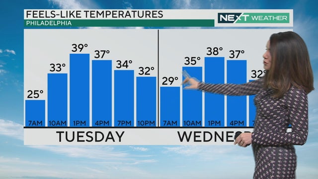
Tuesday and Wednesday will be seasonable days with temperatures in the mid-to-upper upper 40s, though a breeze will make it feel a little cooler. The coldest day of the week comes on Thursday, with highs only in the 30s.

Rain continued through the overnight hours Sunday into Monday in the Philadelphia region and changed to snow in some places. Precipitation will end by mid-morning Monday.

Heavy rain, gusty winds and possible flooding will impact the entire Delaware Valley region, and a Flood Watch is in effect from 1 p.m. Sunday through 4 p.m. Monday.

Temperatures are mild Friday and Saturday, but a storm is headed our way Sunday into Monday.

Accumulations will be fairly low, but some spots could pick up a few tenths of an inch up to half an inch western areas. Thursday's high temp will reach 43 with chills in the 30s, before temperatures rebound to the 50s Friday and Saturday.

Showers and even some snowflakes are possible Wednesday, but don't expect any accumulation.

Dress for colder weather through the middle of the week! Wind chills on Wednesday will make it feel like barely above freezing.

After a rainy and foggy cap on the weekend, our NEXT Weather team forecasts that skies will slowly clear out Monday, as the main area of low pressure moves away from the east coast.

Fog gives way to clouds on this warmer-than-average December day. It'll be dreary, but we're not expecting rainfall.

Clouds roll into the Philadelphia region Friday before showers this afternoon, giving way to a warm Saturday.

Thursday is much better than Wednesday with highs in the low 50s or high 40s across much of the region.

Snow flurries started falling after 8 a.m. across the Philadelphia region after a blast of arctic air hit us.

The rain is finally starting to taper off from south to north, with a few lingering sprinkles overnight. By sunrise Monday, we should be looking at mostly sunny to partly cloudy skies.

Saturday is a chilly day - temperatures dropped into the 20s for the first time since March - and we could see showers Sunday.

Thanksgiving looks dry and clear with a light breeze, great for a pre- or post-dinner stroll.

The Philadelphia region will see some showers on Tuesday and Wednesday, but we're not expecting any headaches as we enter the Thanksgiving holiday.

Now that Philadelphia has experienced its first sub-freezing temperature, we'll start to see more and more of this in the coming weeks and months. Here's what you need to know about hypothermia, frostbite and more.

It will be a bitterly cold start to the week before the Philadelphia region sees a gradual warmup.