NEXT Weather: Sunny week ahead!
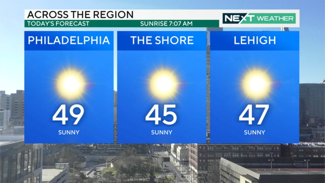
Expect sunny skies Sunday through Thursday with high temperatures in the 40s and 50s, and possibly even the low 60s on Saturday!
Watch CBS News
Expect sunny skies Sunday through Thursday with high temperatures in the 40s and 50s, and possibly even the low 60s on Saturday!
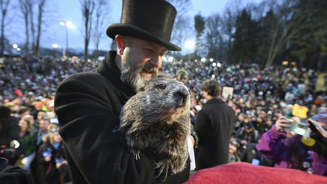
Punxsutawney Phil did not see his shadow, meaning an early spring is on the way according to his Groundhog Day prognostication.
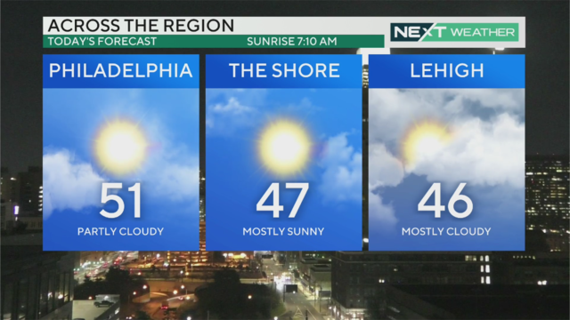
Clouds should hopefully break by the late morning or early afternoon Thursday in the Philadelphia region and let the sun out.
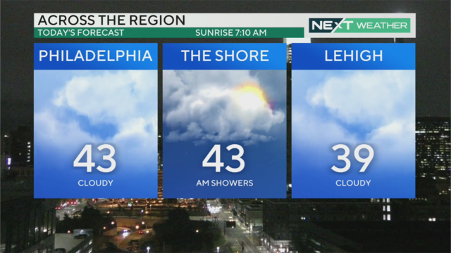
There are clouds and mild temperatures across the Philadelphia region today and chances of sprinkles.
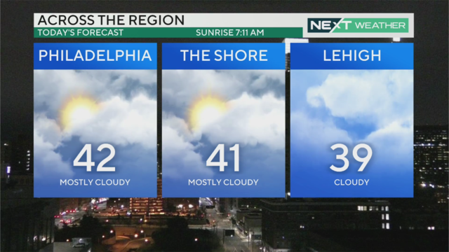
There are some clouds in the sky, but we're in for a stretch of dry and calm weather in the Philadelphia region.
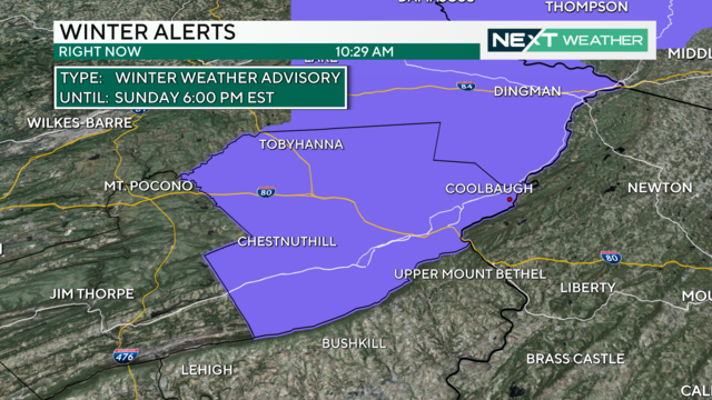
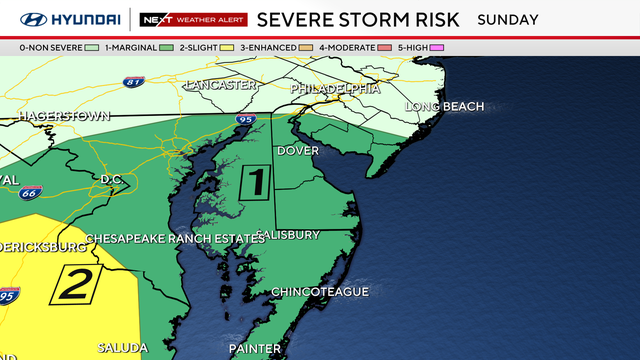
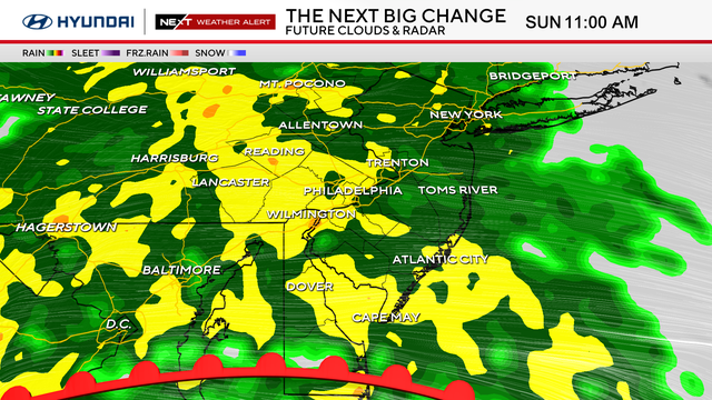
Another storm system spreads nearly an inch of rainfall across the entire Philadelphia region Sunday with accumulating snow in the Poconos.
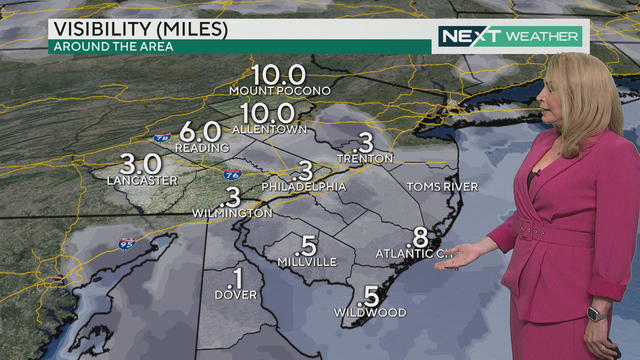
Dense fog kicks in Saturday in Philadelphia, with rain at night into Sunday morning. More showers or wintry mix possible Sunday night.
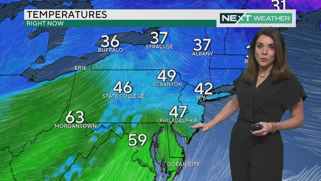
A dense fog advisory is in place as we watch for temperatures that could push 60 for some of the Philadelphia region.
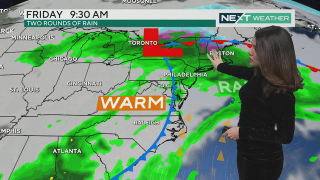
Light but steady rain and fog continue through the day and into Friday before lightening up Friday night.

New Jersey's State of Emergency was lifted Wednesday at 5 p.m. after initially declaring the emergency over two weeks ago due to the winter storm.
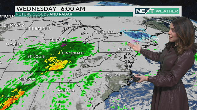
Some rain is in the forecast for Wednesday night and Thursday morning in our region.
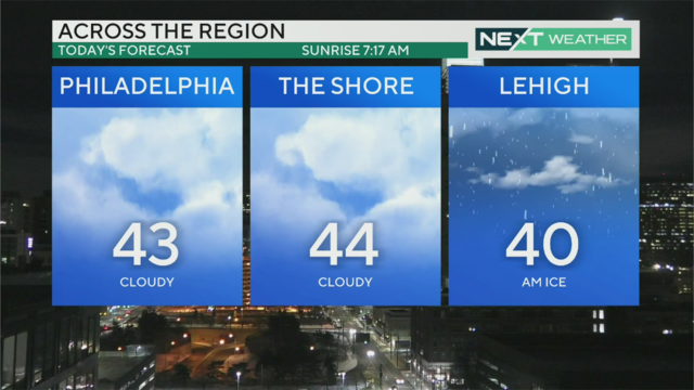
Temperatures are back to seasonably normal Tuesday with a high close to 43 degrees. Rain starts moving in Wednesday before temps surge to the 50s on Thursday.
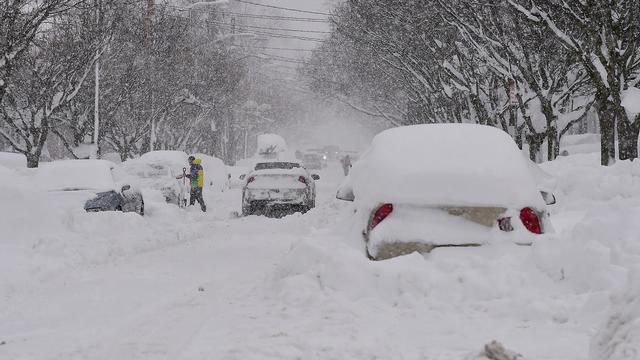
There have been more than 90 confirmed weather-related fatalities in states around the country, according to a CBS News tally.

Temperatures in the mid-30s will help with snow melting Monday, but even warmer weather in the 40s, 50s and possibly 60s are on the way. But with the warm temps comes the chance for rain on Wednesday, Thursday and Friday.
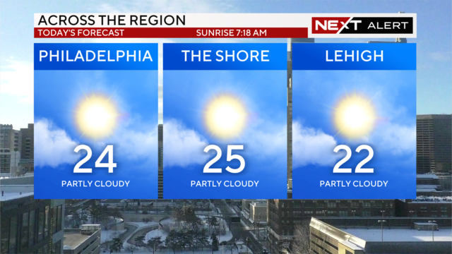
With the weekend continuing to experience frigid temperatures, frostbite should be a concern for residents of the Delaware Valley.
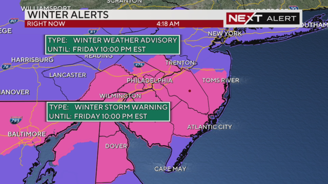
Snow is falling in the Philadelphia region on Friday and some isolated spots could see as much as six inches of snow.
A state of emergency will remain in effect in New Jersey ahead of Friday's winter storm, Gov. Phil Murphy said on Thursday night.
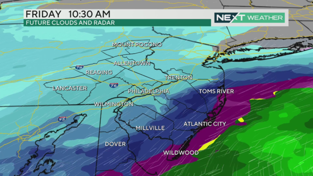
A Winter Storm Warning goes into effect for the entire region Friday, when another 4-6 inches of snow is expected to fall in Philadelphia and along the I-95 corridor.
This will be the second snowstorm to hit the region this week.
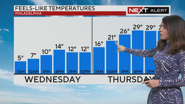
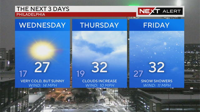
The Delaware Valley will see some of the coldest air so far this winter Wednesday, with highs only reaching 26 degrees. Wind chills will make temps feel like it's only 14 degrees by 4 p.m.
After morning snowfall, freezing rain and wintry mix, some roads are a slushy mess. Use caution when traveling.
A blast of arctic air has settled over the region. A Winter Weather Advisory goes into effect Monday afternoon as the first chance for accumulating snow moves in overnight.
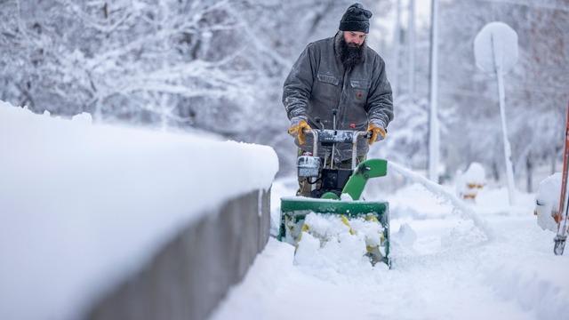
Archdiocese of Philadelphia schools in the city will utilize a "Flexible Instruction Day" as snow moves through the Delaware Valley from Monday night into Tuesday.

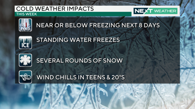
A NEXT Weather Alert is currently in effect through Sunday as the Delaware Valley braces for a long stretch of dangerous cold and some accumulating snow. Kate Bilo has how much snow we can expect overnight Monday, and just how cold it'll get throughout the week.
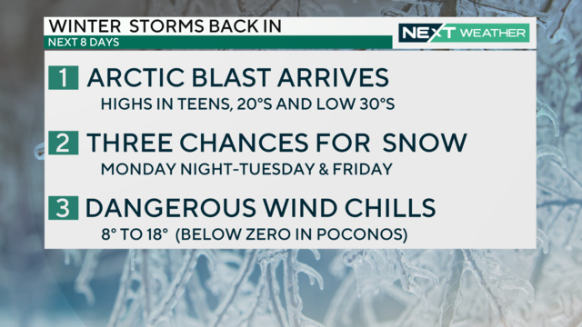
A dangerous blast of arctic air is moving into the region this week, bringing the Delaware Valley some of the coldest weather its seen in several years.