Foggy weather in Philadelphia region before PM flood watch in Burlington, Mercer counties in NJ
PHILADELPHIA (CBS) -- Areas of fog from Tuesday evening are persisting in the Philadelphia region on Wednesday, with reduced visibility especially on bridges and overpasses.
This fog will intensify before it gets better and could disrupt your commute this morning. Use caution especially on highways and allow yourself extra car-lengths behind the car in front of you.
While the bulk of the rain associated with the low-pressure system (one of a few this week!) got out of the way overnight into Wednesday, this dry period will be a very short-lived one.
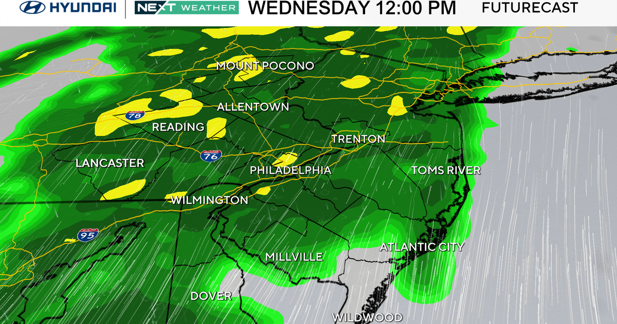
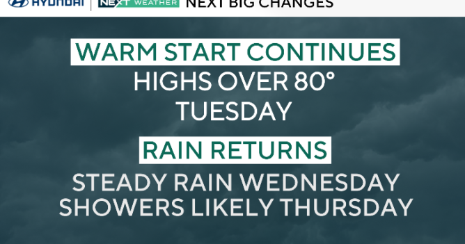
After a cloudy but dry start to Wednesday, the rain returns for the mid-late morning into the early afternoon. This next storm system moves up the coast and hugs the Jersey Shore once again, with moderate to heavy rain spreading across the area after lunchtime.
The rain will continue through Wednesday night and into early Thursday morning before letting up. With this next round of rain, flooding will be more of a concern, as this rain is on top of what we've received since the beginning of the week.
A Flood Watch is in effect in Burlington, Mercer and Ocean counties in New Jersey beginning at 1 p.m. Wednesday through the late evening. Streams and creeks may rise from their banks and soil is already saturated from the multiple rounds of rain this week - adding more rain will not help.
Flooding concerns might be the most elevated along the Jersey Shore, where more than 2 to 2.5 inches of rain may fall before the end of the week. We'll be watching freshwater drainage as well, especially during high tide times.
If you're in the Lehigh Valley and the Poconos: expect these systems to give you light to moderate rain. Temperatures will generally be too warm for this to be snow, even in the higher elevations.
Friday may be the one saving grace day of the week, with partly to mostly cloudy skies and chilly, if not slightly cooler-than-average temperatures. Enjoy it if you can because more rain is in store for Saturday and into the heart of the weekend.
A surface low will develop as a system moves in from the central United States. There is still a bit of uncertainty as far as rainfall rates and exact arrival, but we'll be on the lookout for some more flooding because the ground will definitely still be saturated from this week's rain. Saturday and Sunday will both be mild, with highs in the 50s despite the ongoing rounds of rain, clouds and fog.
Stay with the CBS News Philadelphia NEXT Weather Team as we continue to track the wet weather across the Delaware Valley!
Here's your 7-day forecast:
Wednesday: Rain by afternoon. High 55, Low 44
Thursday: Showers around. High 55, Low 49
Friday: Break in the action. High 59, Low 41
Saturday: Rain returns. High 51, Low 38
Sunday: AM rain, windy. High 54, Low 46
Monday: Colder. High 49, Low 36
Tuesday: Nice. High 56, Low 34
Get the latest weather info on the CBS News Philadelphia app.


