NEXT Weather: Soaking rains Saturday and gusty winds on Sunday
PHILADELPHIA (CBS) - The Philadelphia region has made it through a pretty wet week and will now be rewarded with a dry and mild Friday with high temperatures a little warmer than normal in the middle 50s. After a pleasant and dry end to the week, we kick off the first weekend of March with heavy rain and a flood threat for some areas.
The current forecast models have scattered rain showers arriving by mid to late Saturday morning. The rain will become widespread by later in the afternoon and periods of heavy rain with isolated thunderstorms are possible overnight and into very early Sunday morning.
Most of us will see .05" to 1.0" inch of rain but there will be some places that see 1.0" to 2.0".
A Flood Watch has been issued from 1 p.m. to 10 p.m. Saturday for all areas adjacent to the I-95 corridor including Philadelphia County, Delaware County, Lower Bucks and Lower Montgomery counties in Pennsylvania and all of South Jersey away from the shore.
Stream and creek flooding is likely with ponding and localized flooding on the roadways.
Travel on roadways will be slow at times and flight delays are likely at Philadelphia International Airport.
There is also a Coastal Flood Watch in effect from 10 a.m. Saturday to 7 p.m. Sunday for all low-lying areas and tidal ways near the Delaware River including the Philadelphia shoreline. Moderate flooding with one to two feet of inundation is possible at the high tides on Saturday and Sunday.
Despite the rain temperatures will continue to be mild in the low 50s on Saturday.
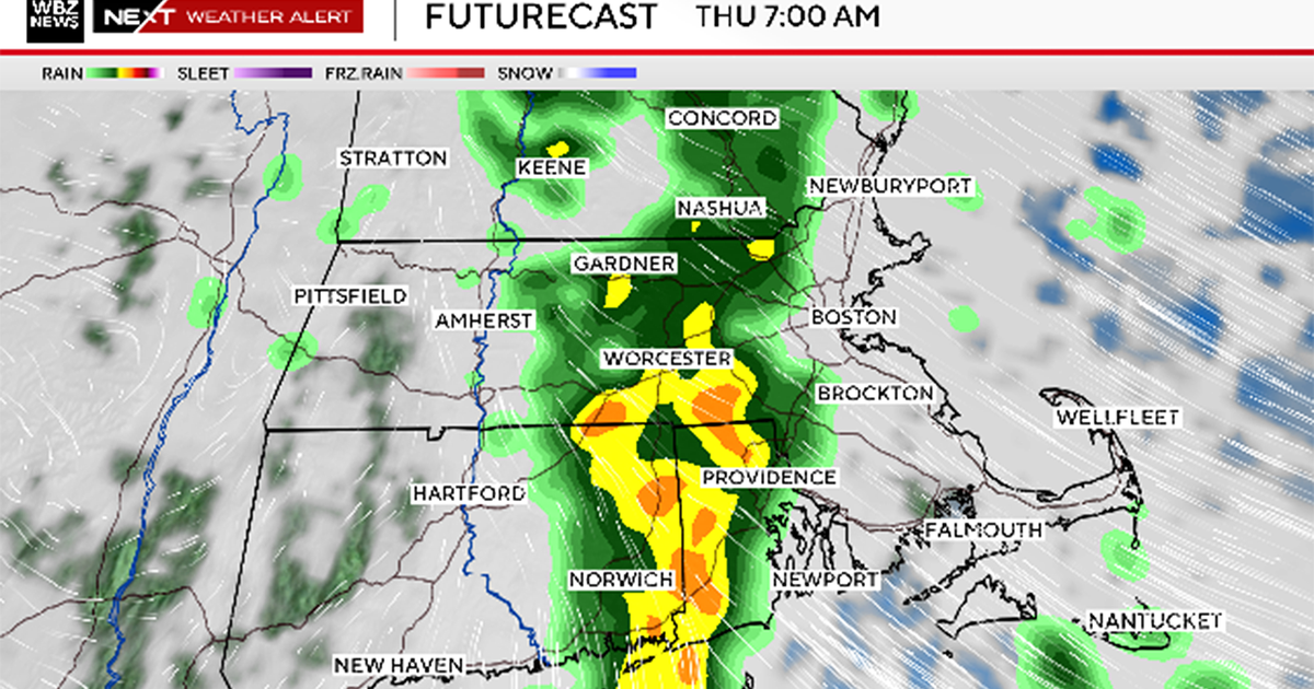
Here's a look at the latest forecast models that show what the radar may look like through the weekend:
The luck of the Irish is with us on Sunday as the rain is expected to clear the area early in the morning leaving partly cloudy skies and dry conditions for the St. Patrick's Day parade but the winds following the storm will be howling so hang on to your green hats. Those wind gusts to 35 mph will combine with highs in the upper 40s to create a feel-like temperature in the 30s and 40s.
By Sunday afternoon the gusty northwest winds will usher in isolated lake effect snow showers for the Poconos and Lehigh Valley turning to a brief rain shower closer to Philadelphia.
Wind speeds will continue to increase Sunday night into Monday with sustained winds between 20-25 mph, gusting up to 40-45 mph. Due to the saturated ground after the recent rain and the stronger winds, there is a possibility that trees may come down, which will create the possibility for power outages.
The winds will stay breezy into Tuesday before settling down through the middle of next week. In the meantime, after a chilly start to the week with temperatures Monday morning near freezing, highs will climb from near 50 degrees Monday to the mid-upper 60s by Wednesday and Thursday.
As always, the NEXT Weather Team will keep you posted on the changes ahead. Be sure to follow us on social media and our streaming app.
Get the latest weather info on the CBS News Philadelphia app.


