Morning showers come to Pittsburgh ahead of a weekend cooldown
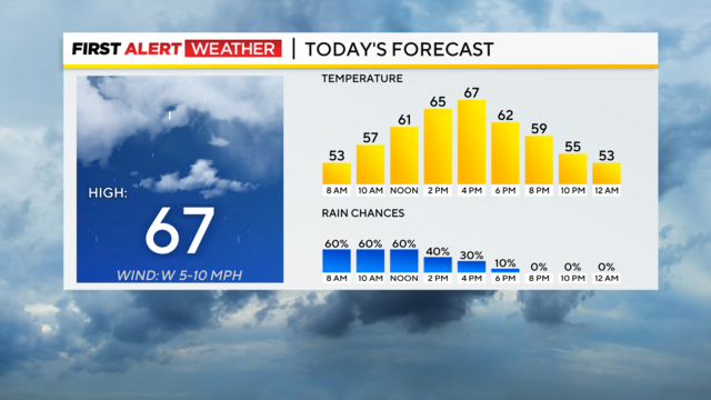
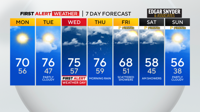
We'll get some morning rain on Friday with cooler temperatures this weekend.
Watch CBS News
We'll get some morning rain on Friday with cooler temperatures this weekend.
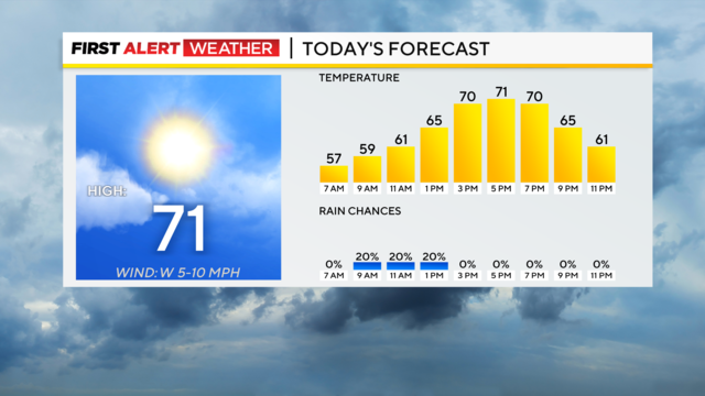
We'll see sunshine and warmth today, but so far it has been a very wet April.
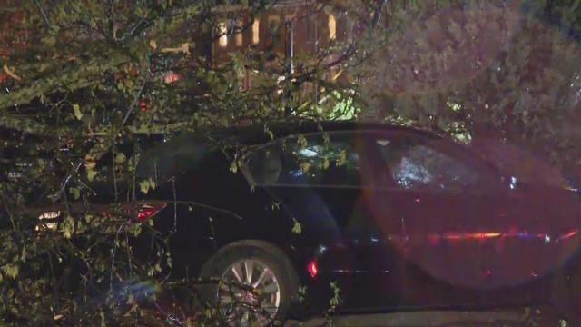
Many communities in Southwestern Pennsylvania are facing power outages due to the severe weather after the tornado watch was lifted.
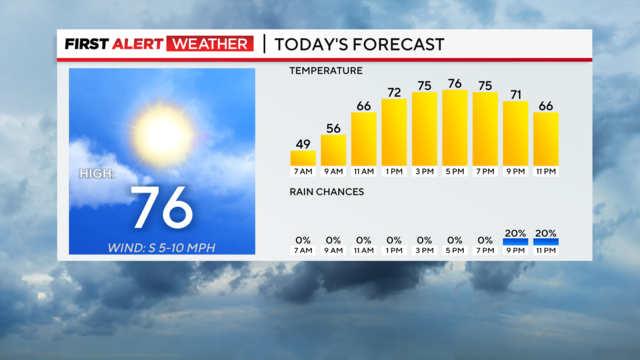
Highs today will hit the mid-70s with morning temperatures dipping down into the 40s.
Official rain totals for Pittsburgh will be near 0.13-inches for the day.
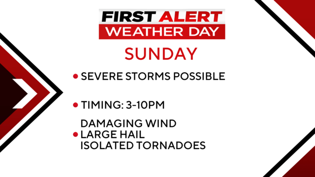
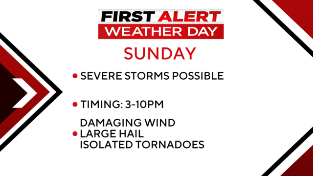
We'll have sunshine and warm weather in the morning and afternoon, but strong storms are possible on Sunday night.
Finally some sunshine!
After getting hit with plenty of rain, we're finally going to see the sun again.

An evacuation is still in place in Etna as they deal with flooding from the heavy overnight rains.
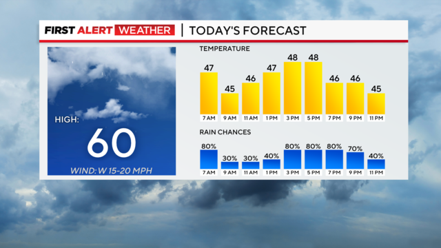
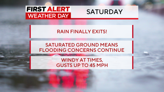
The rain will continue on Friday in our region and flooding remains a possibility.
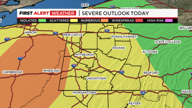
Thursday is a First Alert Weather Day.
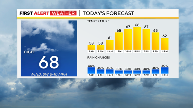
We could see some more rain showers today but Thursday poses a chance for strong storms.
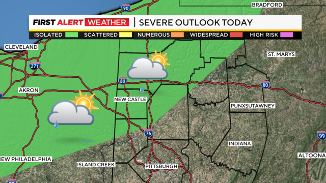
High temperatures should be near 75 degrees with hazy sunshine and clouds.
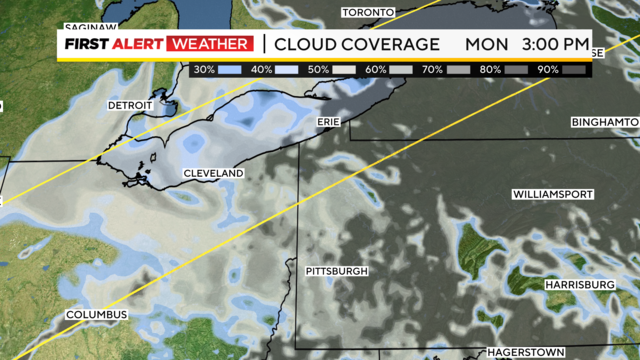
The eclipse will reach 97% totality in Pittsburgh at 3:17 p.m.
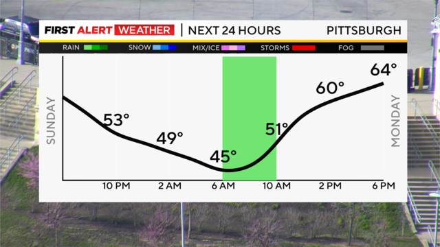
Monday will be in the lower to mid-60s during the total solar eclipse.
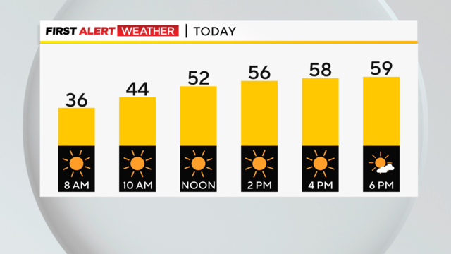
We get back to sunshine and warmer temperatures today, but will it stick around for the eclipse?
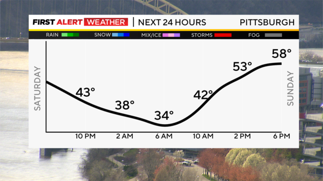
Our weekend will feature warmer temperatures on Sunday with some sunshine and upper 50s!
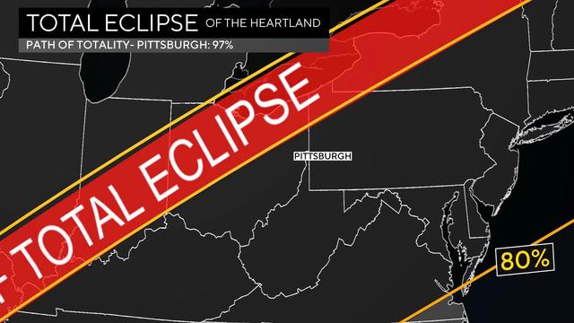
We've gone over the elements of the total solar eclipse, and now, with it just days away - let's get into the specifics.
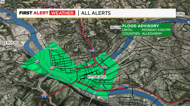
After the heavy rains, some snow, and chillier temperatures we're in for some sunshine and warmth.
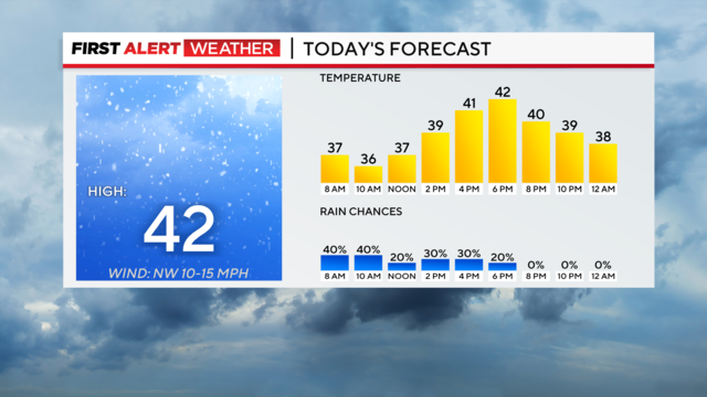
The worst is behind us when it comes to rain and flooding but we'll still be seeing some chilly weather.
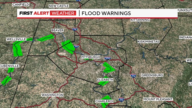
While the heavy rains are mostly done, we will still some light rain on Thursday.
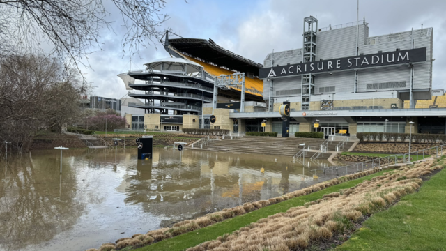
After the historic rainfall, many people came downtown to the North Shore to see the rising water.
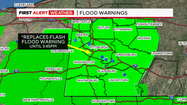
After a day of record-setting rainfall, we're in for more on Wednesday.
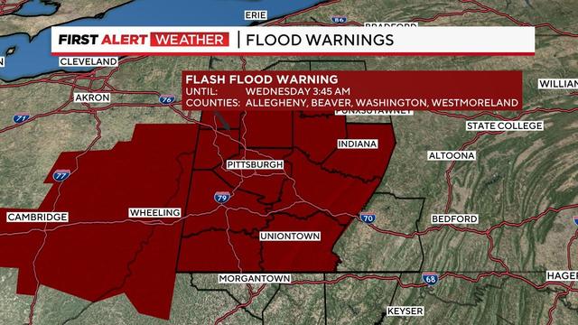
The tornado watch that was issued for the Pittsburgh area has expired.
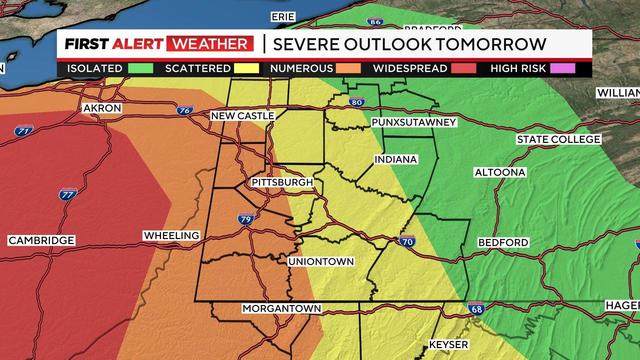
Today and tomorrow are First Alert Weather Days due to rain and storm potential on Tuesday.