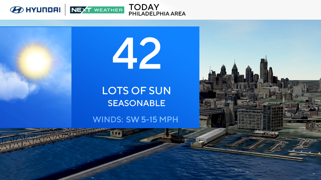
Sunny, breezy Monday in Philadelphia region as week starts mild
The Philadelphia region will begin the week mild on Monday, and we could even get to the 50s later in the week.
Watch CBS News
The Philadelphia region will begin the week mild on Monday, and we could even get to the 50s later in the week.
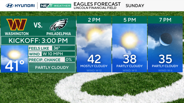
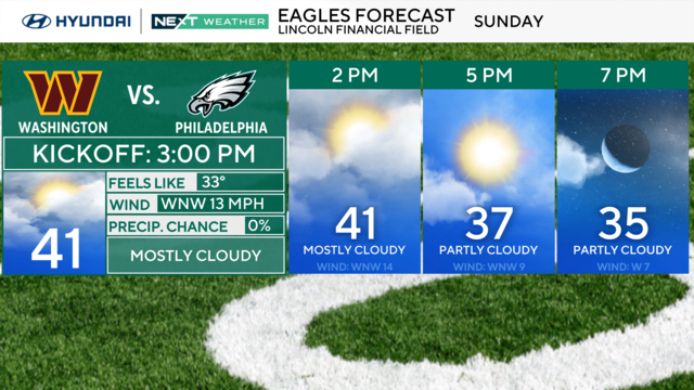
During the Eagles-Commanders NFC championship game, cloud coverage could shift from mostly cloudy, to partly cloudy.
Saturday will be a beautiful day with sunshine but temperatures will be cold, with highs in the 30s across the Philadelphia region.
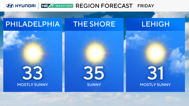
Philadelphia has been below-freezing since Sunday as the region deals with some of the coldest temperatures in 30 years.
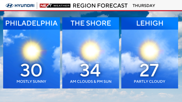
Thursday will be another dangerously cold day in the Philadelphia region, but we're getting closer to getting above the freezing mark.
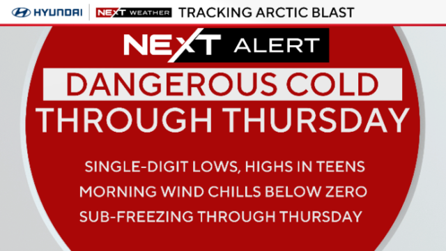
Philadelphia might feel like minus 5 and minus 10 degrees on Wednesday as Arctic air moves through the region.
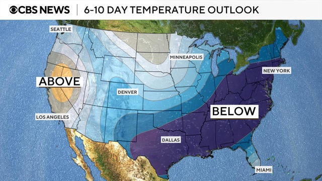
A polar vortex dipping down from Siberia is bringing a cold front with frigid temperatures to millions Americans. See maps of the arctic blast.
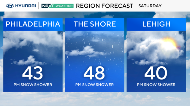
The weekend begins mild with scattered rain showers but plan and prepare for snow ahead with the coldest air since 2018.
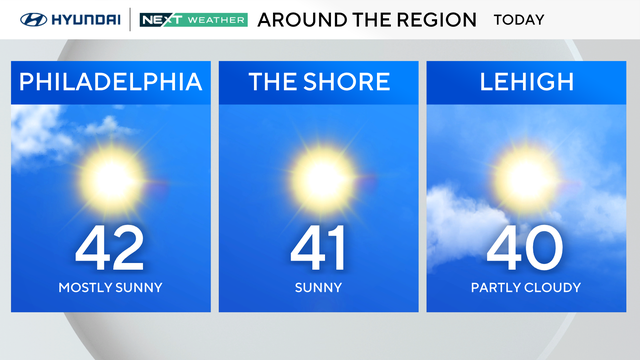
Friday will be in the 40s in the Philadelphia region, but storms are expected in the area this weekend ahead of temperatures dropping below freezing.
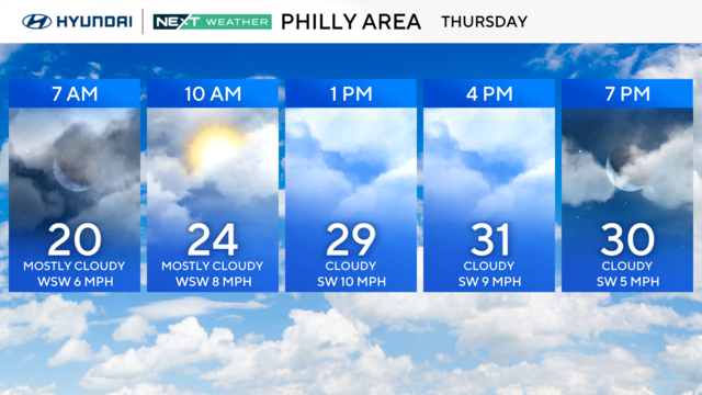
Thursday will remain chilly in the Philadelphia area with temperatures in the 30s and cold windchills.
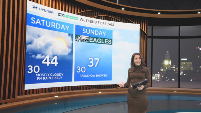
Wednesday stays cold with high temperatures in the low 30s, but blustery winds will make it feel like the low 20s.
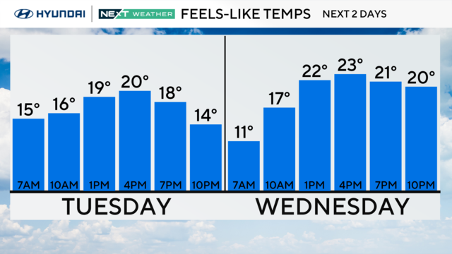
The chilly reality returns Tuesday to the Delaware Valley with cold winds being the rule.
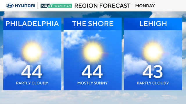
Temperatures on Monday will be above average in the low-to-mid 40s in Philadelphia, but a stretch of colder days kicks off on Tuesday.
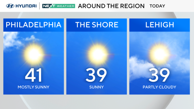
Temperatures cool slightly into the upper 30s by the time the Eagles kick off against the Packers, but expect clear skies and light winds if you're heading to the game.
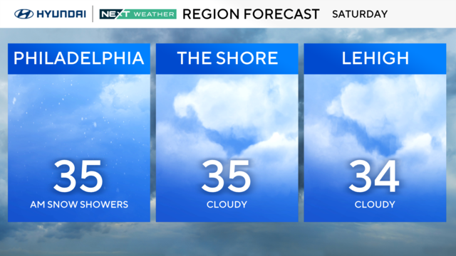
After some light snow in the early morning hours, Saturday will be chilly and cloudy, with more sunshine coming for Sunday.
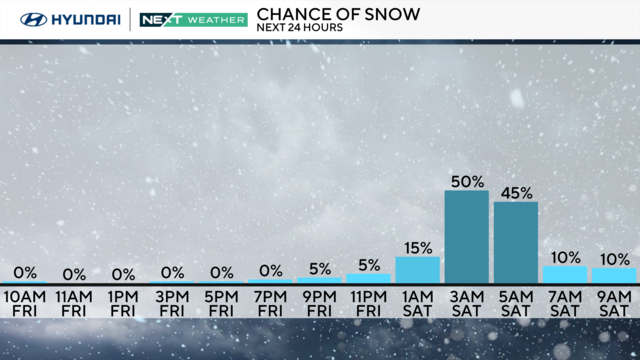
Looking ahead to the Saturday snow chance, it's less likely that snow lovers will get a big dumping of snow out of this one.
Global temperatures in 2024 soared to yet another record level, but this time it was such a big jump that Earth temporarily passed a major symbolic climate threshold.
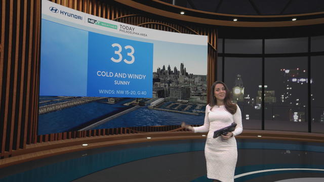
The frigid conditions, along with icy spots, continue to be the dominating weather story around the Philadelphia region.
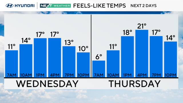
Frigid, icy conditions will continue through the end of the week, and snow is possible Saturday in the Philadelphia area.
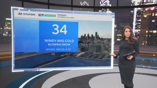
After Philadelphia's first winter storm of the year, windy and cold conditions follow this week as feels-like temperatures drop into the teens and single digits.
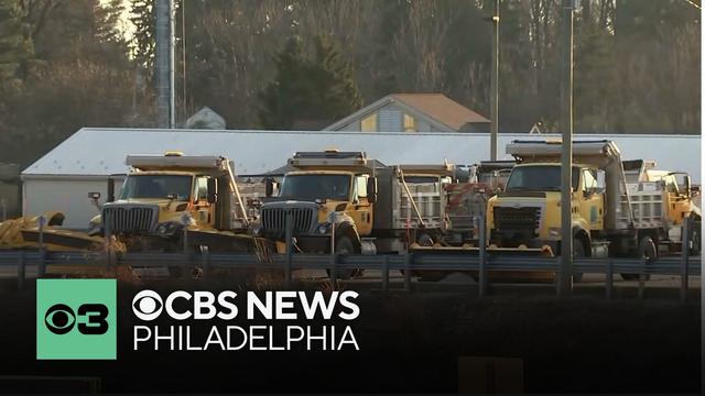
Crews across the Philadelphia area are working to make sure the roads and highways are prepped ahead of the snow expected on Monday morning.
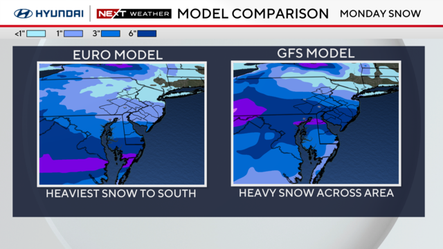
A snowstorm overnight Sunday into Monday could drop heavy snow on the Philadelphia region depending on its track.
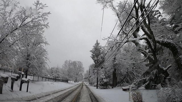
A stretch of cold weather is on the way along with some snow, which could be, in certain cases, a recipe for disaster.
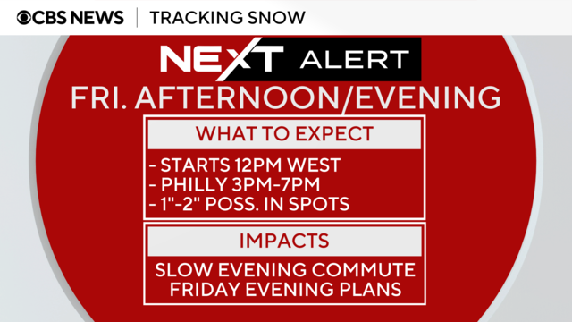
A quick-moving system approached the Philadelphia area Friday through the afternoon and brought snow showers in the evening.
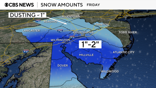
A system arriving on Friday will spread some snow showers across the region, especially from the Philly area and points south.