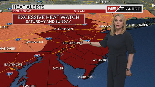
Air quality alert, heat advisory in effect as feels-like temps peak around 100
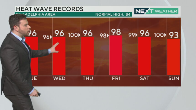
A heat wave that's already given us the hottest days of 2024 is back in force again on Friday, this time with an air quality alert.
Watch CBS News
A heat wave that's already given us the hottest days of 2024 is back in force again on Friday, this time with an air quality alert.
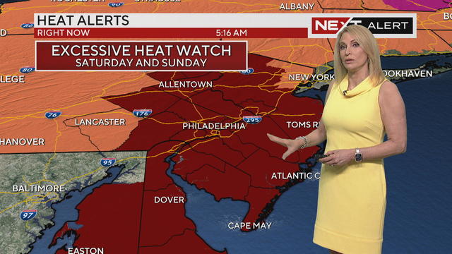
The Philadelphia region is under a heat advisory through Friday and the city of Philadelphia has activated its heat emergency.
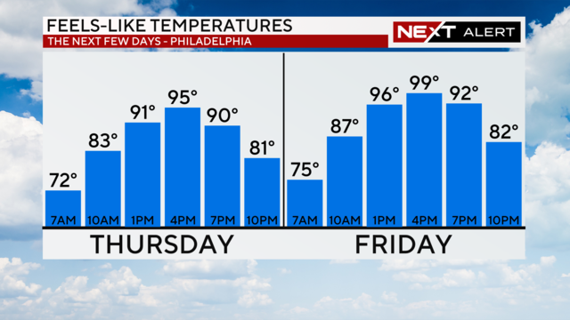
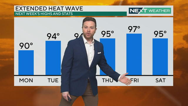
The Philadelphia region's heat wave is well underway with no immediate end in sight.
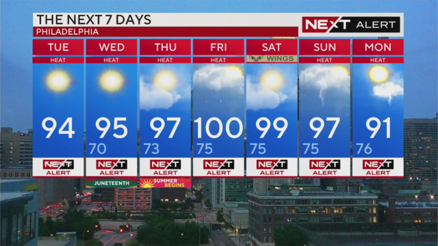
The June heat wave is expected to be the most intense in the area in years, prompting a heat advisory from the National Weather Service.
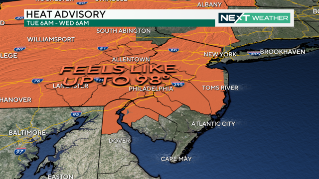
The Philadelphia area is no stranger to the summer heat, but this week's heat wave could be the worst in years.
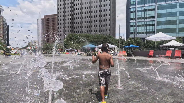
Heat and feeling hot can depend on who you ask and when you ask them. Here's everything you need to know about heat advisories, warnings and more.
Father's Day is the last seasonable day before temperatures rise ushering in the first heat wave of the season this week.
Get ready for beautiful weekend weather around the Philadelphia region with mostly sunny skies, low humidity, and highs in the low to middle 80s.
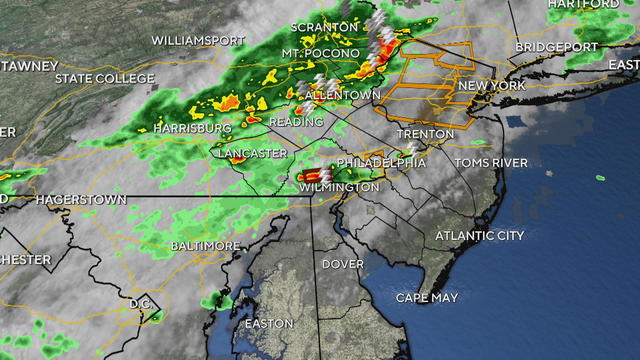
Severe storms arrived Friday afternoon after a hot and humid day providing those storms with plenty of energy.
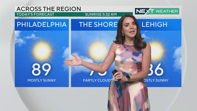
The high temperature lands around 90 degrees on Thursday in the Philadelphia region, with a chance of storms Friday night.
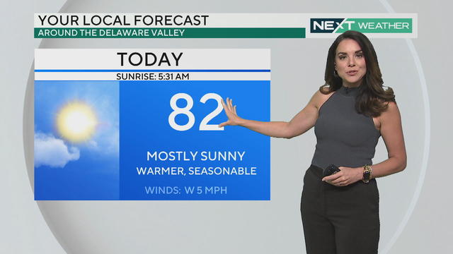
Wednesday's weather in the Philadelphia region is bright, sunny and perfectly on target for a late spring day, with thunderstorm chances on Friday.
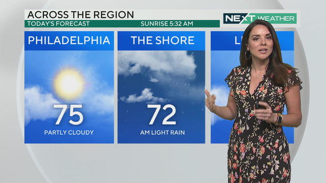
After some showers at the Jersey Shore on Tuesday, skies will clear but there could be more showers ahead of the Rolling Stones' Hackney Diamonds show at Lincoln Financial Field.
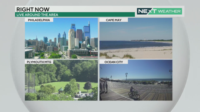
Saturday is clear and sunny but Sunday's weather could have some showers around the Philadelphia area.
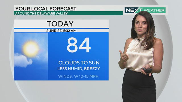
Lower humidity, a pleasant breeze and clearing clouds all make for wonderful weather on Friday in Philadelphia and at the Jersey Shore. The trend continues into Saturday.
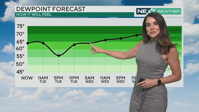
Tuesday starts with scattered showers early followed by cooler temperatures - Friday is the only day this week that doesn't look rainy.
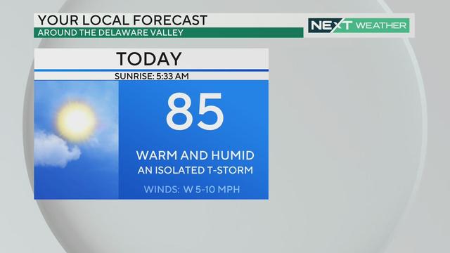
Several disturbances will pass through the Delaware Valley area over the next seven days, triggering a chance of showers and isolated storms almost every day.
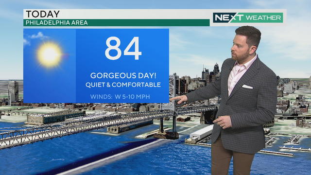
The weather in Philadelphia and around the region, including at the Jersey Shore, is more than cooperating with all the events scheduled for this weekend.
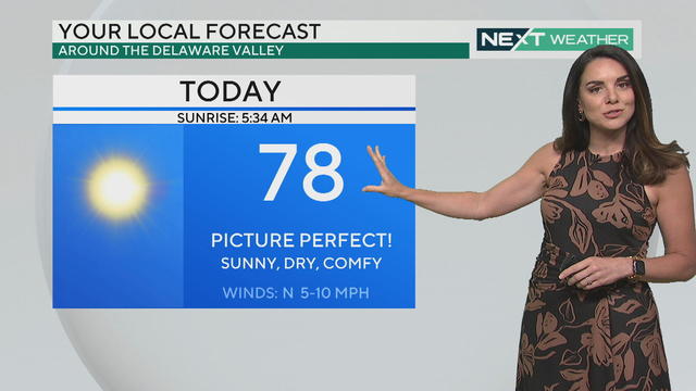
After a chilly morning we will see temperatures climb to 78 degrees in Philadelphia but it's great weather for heading outside
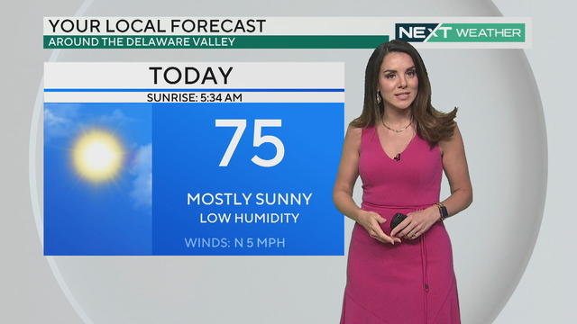
Thursday's weather should be mostly clear with a small chance of a rain shower around the Philadelphia region.
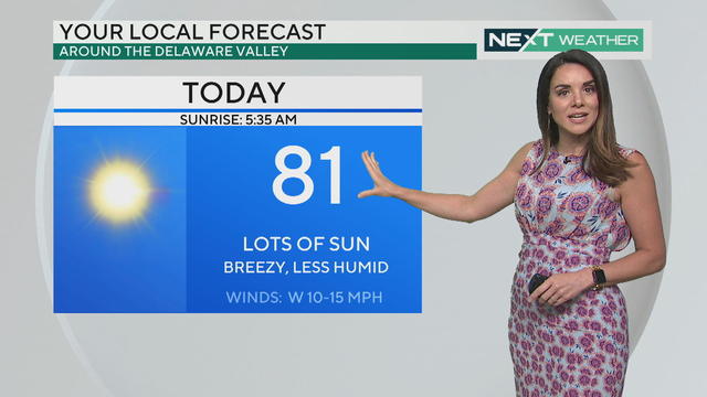
Tuesday's weather is sunny and clear in the Philadelphia area with showers possible in the Poconos and more rain chances on Wednesday.
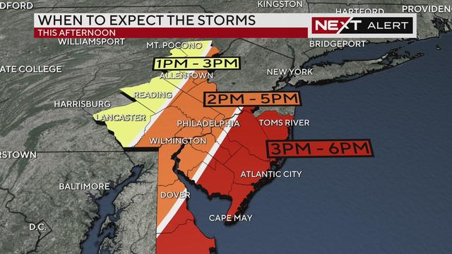
A round of showers and a line of storms will approach the Philadelphia area in the late afternoon and early evening Monday.
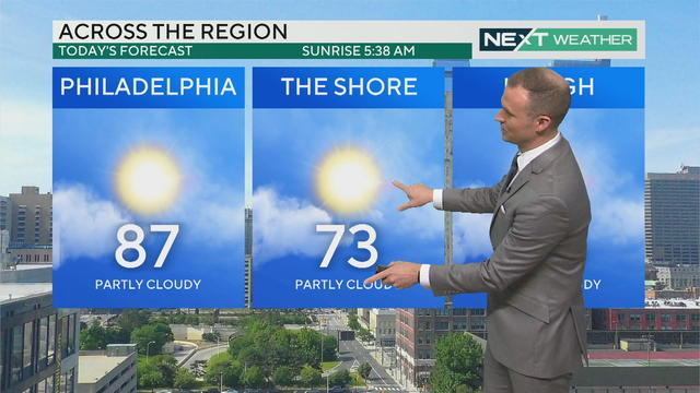
Almost ideal weather conditions will start off the Memorial Day weekend around Philadelphia and the Jersey Shore, but there could be some severe storms Monday.
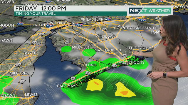
Memorial Day Weekend is mostly sunny, warm and clear, though there are some potentially gusty storms firing up Monday.
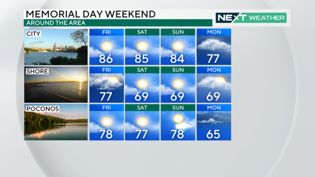
Humidity will be on the rise as Memorial Day weekend kicks off, and temperatures will reach the mid-80s Friday through Sunday.
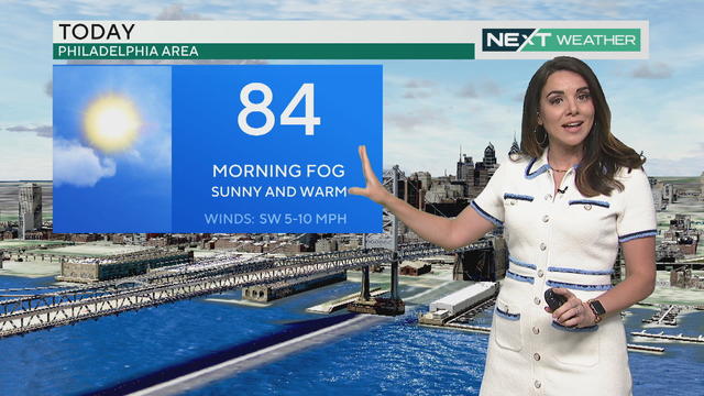
Tuesday starts out with dense fog in parts of our region that will lift as the day goes on. Warm temperatures continue into the weekend with a chance of thunderstorms Thursday.