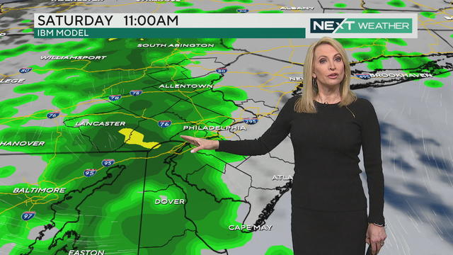
Scattered Saturday showers: when they arrive in your area and what to expect for MDW
Showers should be on the light side for much of the day, but there will be one moderate push of showers coming through in the mid to late morning.
Watch CBS News
Showers should be on the light side for much of the day, but there will be one moderate push of showers coming through in the mid to late morning.
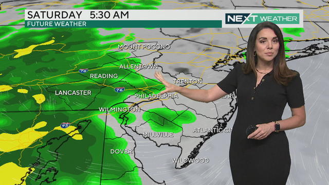
Friday is a cloudy weather day in the Philadelphia region but should stay mostly dry - rain will be in the area Saturday.
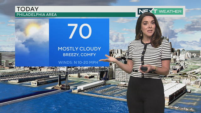
Some light showers could filter in to the Philadelphia region but it's otherwise just a mostly cloudy day with some breaks of sunshine.
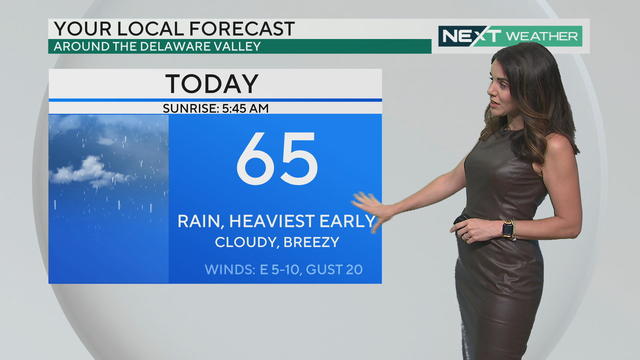
Wednesday sees the heaviest and steadiest showers from 5 a.m. until around noon, and high temperatures don't make it out of the mid-to-upper 60s.

A widespread display of the Northern Lights will hover in the Philadelphia area again tonight and we could see it if the weather cooperates.
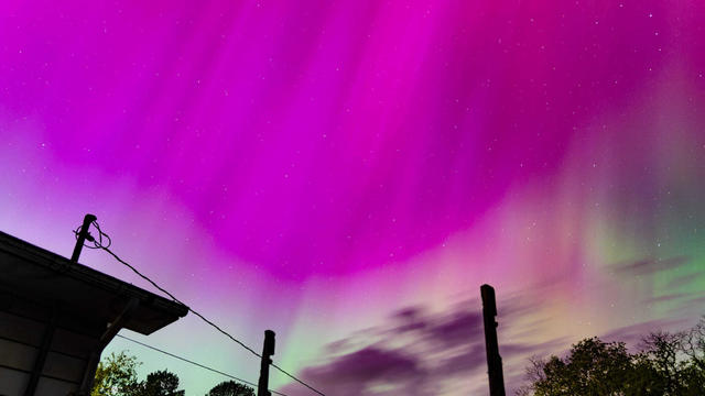
Breaks in the cloud cover offered spectacular views of the aurora borealis over the Delaware Valley very early Saturday morning. Check out some of the captivating views caught on camera in Montgomery County and Westmoreland County.
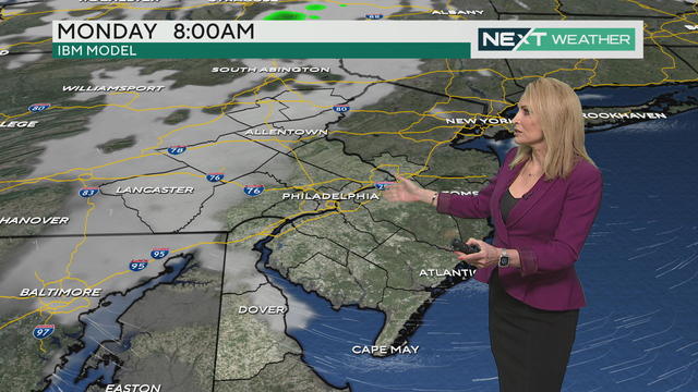
It's a dry and sunny start to the weekend Saturday, but picturesque weather is short-lived with showers expected to return on Mother's Day.
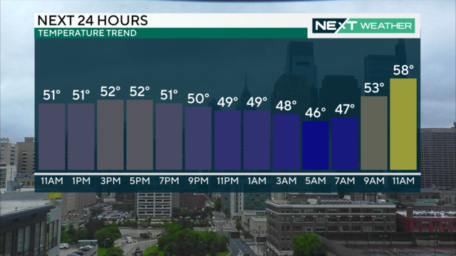
Temperatures will remain in the 50s with rain around all day Friday, but sunshine returns Saturday before more rain for Mother's Day
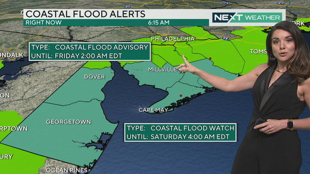
Thursday starts off cloudy and in the 60s before rain rolls in tonight, cooling us down for a damp, chilly Friday.
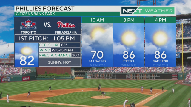
Wednesday morning is kicking off with scattered showers that could produce lightning, high winds and downpours for some in the Philadelphia region.
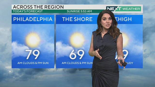
Tuesday starts with fog and clouds before a sunny day - with a chance of thunderstorms early Wednesday morning.
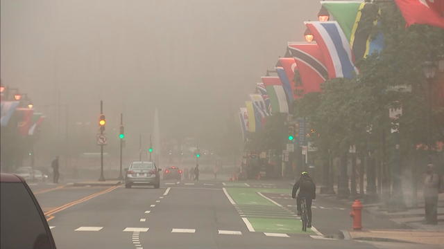
Philadelphia will see (but not very far) a foggy start to the week Monday. Kate Bilo tracks when the fog clears out and when Philly gets more rain.
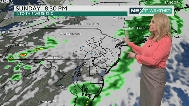
Rainy conditions are sweeping into the Philadelphia region Sunday as the Broad Street Run is underway.
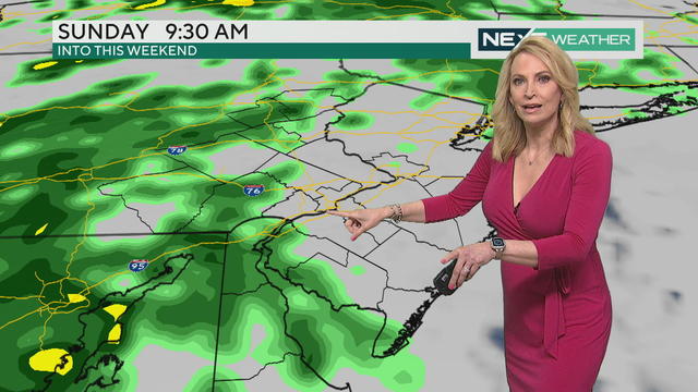
It looks like steady rain will hold off a few hours after the Broad Street Run starts on Sunday, May 5 in Philadelphia.
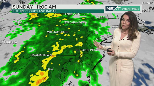
Philadelphia's weather is definitely cooling down from earlier in the week, and the region will see rain on the weekend.
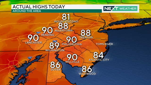
On Monday, Philadelphia had a high temperature of 90 degrees, marking the first time the area experienced a 90-degree or higher temperature this year and tying the record for the day, last set in 1974.
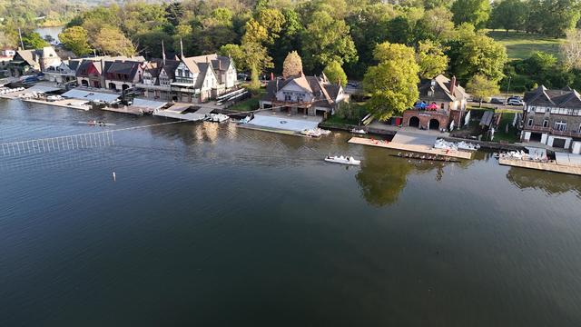
Break out those shorts, it will be hot in Philadelphia on Monday as the region chases 90 degrees. But will it be a record-warm day?
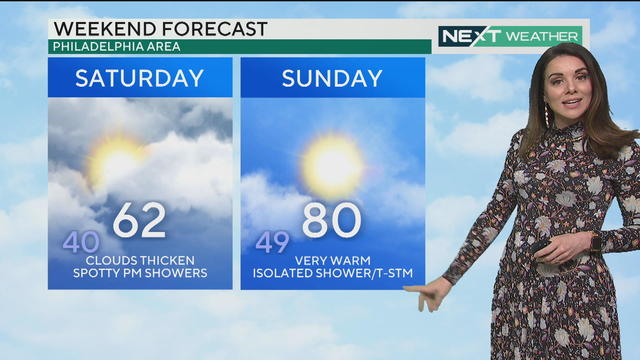
After a chilly start, bright and clear skies will make for a crisp Friday with a high of 65 before a cloudy weekend with a chance of showers on Saturday and potential Sunday night thunderstorms.
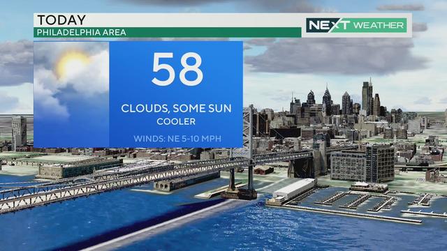
Thursday is cool and cloudy with a few peeks of sunshine later in the day. Temps drop close to freezing Friday morning, but the second half of the weekend kicks off a summerlike warmup.
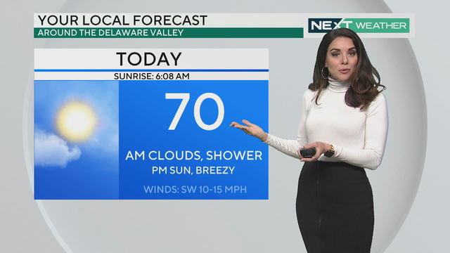
Wednesday morning's weather in the Philadelphia area starts off with some chances of rain but then likely clears up in the afternoon.
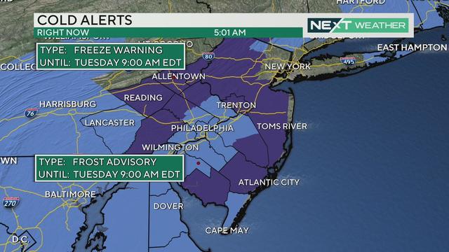
It might be spring, but it'll feel like winter Tuesday morning when parts of the Philadelphia region dip below freezing overnight. By the afternoon, temps climb to near 70s with abundant sunshine.
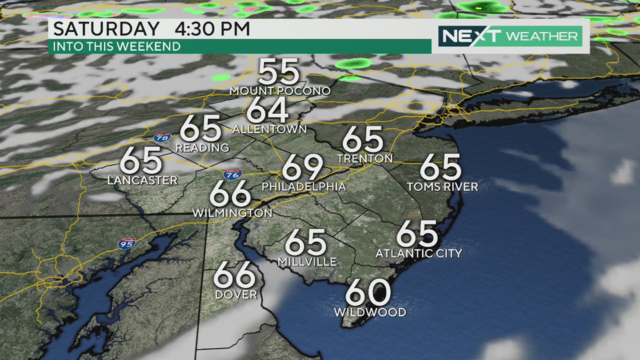
Saturday started off damp and dreary but the cloud cover is giving way to peeks of sunshine around Philadelphia ahead of a cool evening and Sunday.
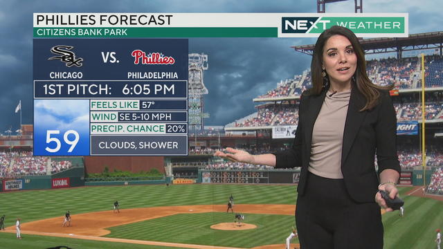
Friday is a mostly cloudy day, but some showers could pop up in the evening right around the first pitch of the Phillies home game against the Chicago White Sox.
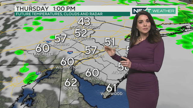
It won't rain much Thursday but there could be chances of a light drizzle, especially early. Temperatures are cooler than usual with a high of only 57 degrees in Philadelphia.
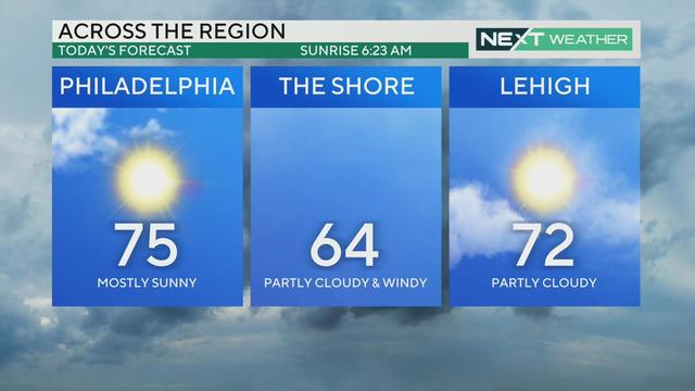
Sunday will be warm and sunny, though a bit breezy at times. A small, but powerful line of storms is set to develop near the Poconos and Lehigh Valley later in the day; showers possible in Philadelphia late Sunday night.