Severe weather threat continues Wednesday
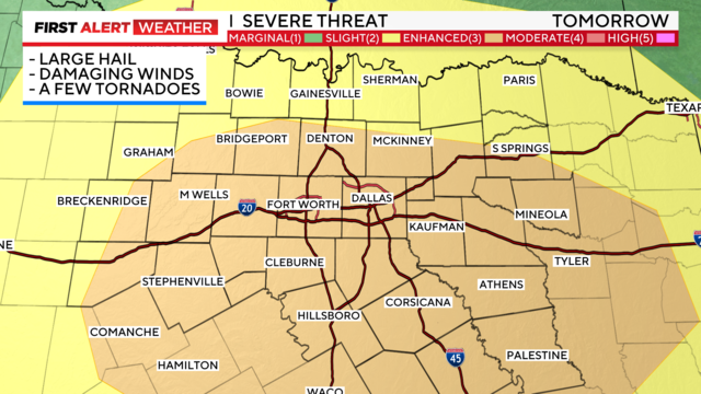
Stay aware of your plans for late afternoon – all modes of severe weather are possible including large hail and damaging winds.
Watch CBS News
Stay aware of your plans for late afternoon – all modes of severe weather are possible including large hail and damaging winds.
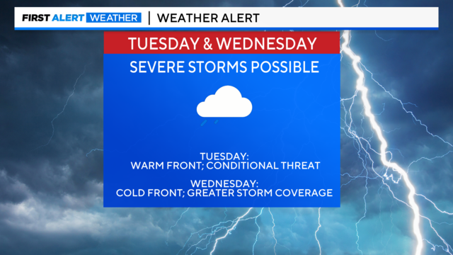
The First Alert Weather team has issued weather alerts for Tuesday and Wednesday. Large hail and damaging winds are the main threat.
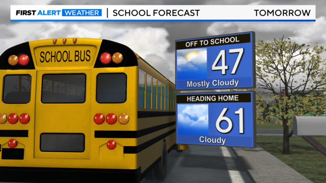
A chilly end to the weekend but the possibility for severe weather will return on Tuesday.
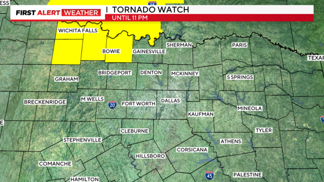
A tornado watch has been issued for Montague County through 11 p.m.
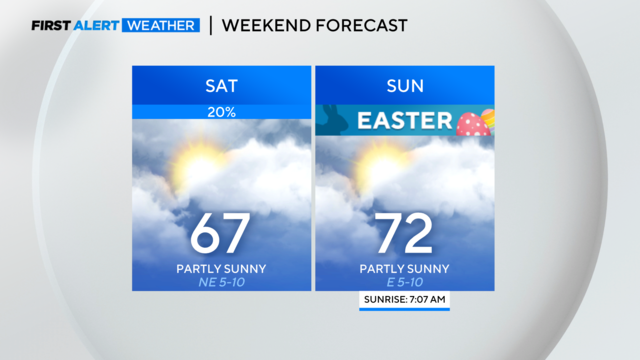
For Easter Sunday, we're expecting decent weather. In the meantime, a few showers are possible here and there.
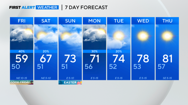
The clouds and rain will keep things cool on Friday for North Texas and areas farther south and east. Some areas could see a shower or two.

On Easter, we'll see a mix of sun and clouds. Temperatures will be in the low 50s for our sunrise services. By afternoon, highs will climb into the mid 70s.
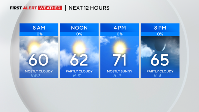
The front is now heading toward East Texas and we are looking at a quieter day on the way.

A cluster of storms raced up from the southwest moving toward the Metroplex Monday evening.
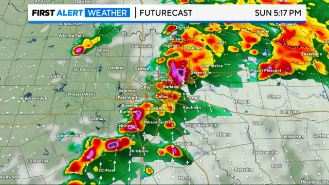
Heads up! Sunday is a Weather Alert for potential strong to severe storms in North Texas by afternoon and evening.

More than 85 million people were under weather advisories as a monster storm system tore through the South and Midwest.
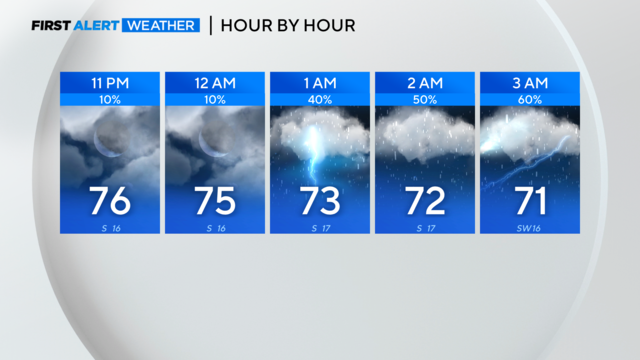
The First Alert Weather team continues to track strong to severe storms just to the NW of North Texas Thursday night.
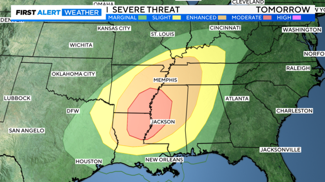
Storms have been developing to the north and west of us this afternoon, as expected, and it's looking more likely that the main event won't be until early Friday morning for North Texas.
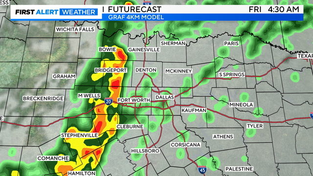
Our First Alert Weather Team has issued a Weather Alert for late Thursday into Friday morning. For a lot of North Texas, this will impact your morning commute/morning plans on Friday.
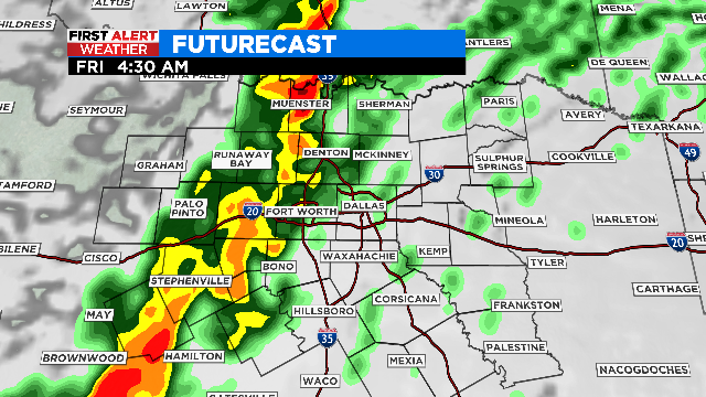
Parts of North Texas could see some rain today, but more possibly severe weather is on the way late Thursday night.
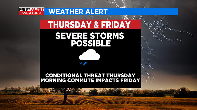
There's a possibility that most of North Texas will be storm-free Thursday and not see much activity until overnight/Friday morning when the cold front moves in.
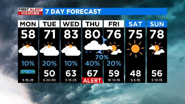
There will be mostly cloudy skies today and highs only in the upper 50s, with increasing southerly winds this afternoon.
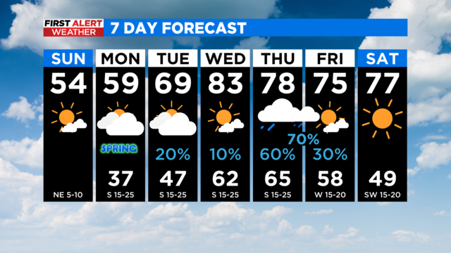
Another cold night on the way, but clouds will keep temperatures above freezing in most locations.
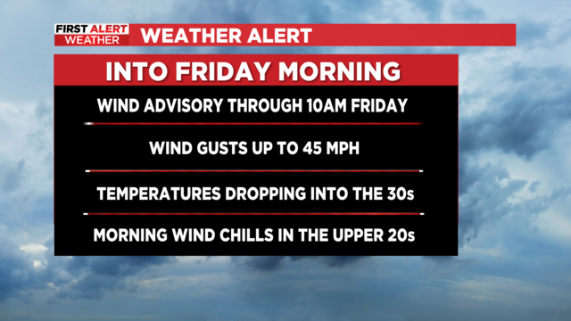
The severe weather threat has ended for North Texas, but with strong winds and a major cooldown expected, we've extended our weather alert through the morning hours Friday.
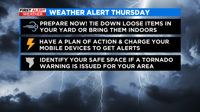
Thursday is a weather alert for the potential for strong to severe storms to develop in parts of North Texas along a dry line and an approaching cold front.
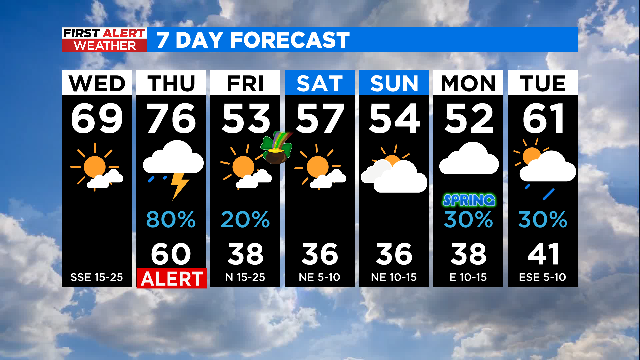
A sunny start with clouds moving in later for today, but we have a weather alert for Thursday due to the threat of severe storms.
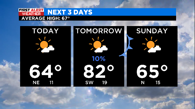
After a foggy and stormy day on Thursday, we're looking ahead to more sunshine today and some warmer weather for part of your weekend.
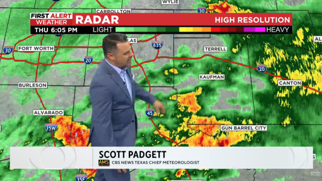
From the First Alert weather center, scattered showers and some isolated storms continue across North Texas.
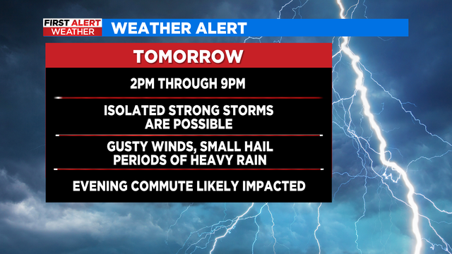
A Weather Alert has been issued for Thursday afternoon as we are expecting a more widespread round of rain/storms.
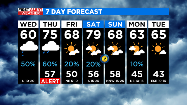
We've seen scattered rain and some isolated storms this morning as a front remains stalled over North Texas.