
North Texas sees sunny skies, hot temperatures this Father's Day
Happy Father's Day, North Texas! And what is a better treat for dads everywhere than a sunny, hot mid-June day?
Watch CBS News
Happy Father's Day, North Texas! And what is a better treat for dads everywhere than a sunny, hot mid-June day?

The threat for severe storms continues for parts of North Texas until 2 a.m. Sunday. Otherwise, we'll finally get a break from severe weather tomorrow!

On Friday, we'll see mostly sunny skies and hot conditions. Highs will be in the mid-to-upper 90s but it will feel like the triple digits.
The first heat advisory of the season is also in effect, with heat index values forecast as high as 112.

A new severe thunderstorm watch was issued for parts of North Texas, including all of Dallas-Fort Worth. The watch goes through 10 p.m. Wednesday.
Be weather aware as you are heading out. Severe Thunderstorms are possible around North Texas today.
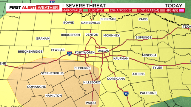
While hail is still the greatest threat, an isolated tornado possible anywhere in North Texas.
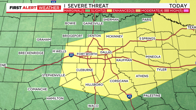
Several parts of North Texas saw severe storms Sunday evening.
The Severe Thunderstorm Watch issued for Dallas and Tarrant counties has been dropped.
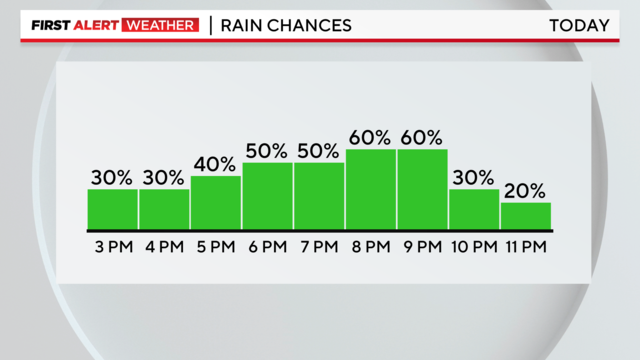
A Severe Thunderstorm Watch has been issued for parts of North Texas through 10 p.m.
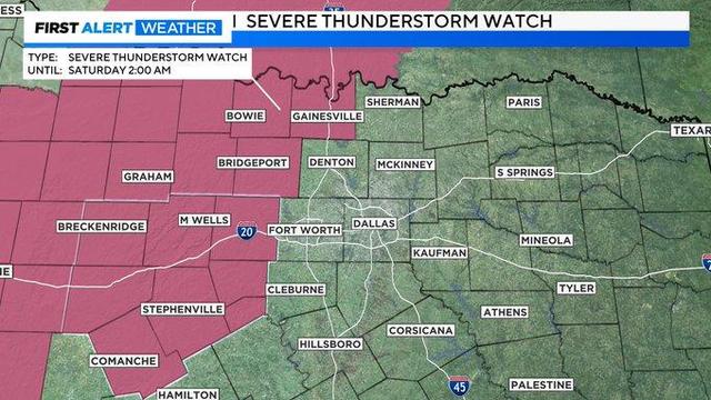
A Severe Thunderstorm Watch has been issued for parts of North Texas until 2 a.m.
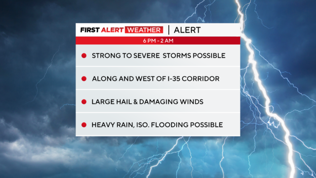
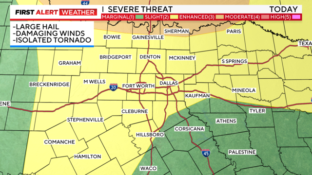
This evening, North Texas is under a weather alert for the threat of large hail and damaging winds. The tornado threat is small, but not zero.
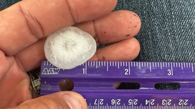
Storms are starting to form west of the DFW Metroplex, and some are turning severe.
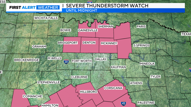
A severe thunderstorm watch has been issued for parts of North Texas until midnight – including Collin, Hunt and Fannin counties.
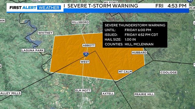
Parts of North Texas are a under severe weather threat this afternoon, and heading into the evening.

Storms that develop will be capable of producing large hail (egg or tennis ball-sized), damaging winds and an isolated tornado or two.

Counties south of I-20 are under a tornado watch until 10 p.m. Wednesday. This includes Johnson, Ellis and Hood counties. A tornado warning has been issued for Bosque County until 7 p.m.
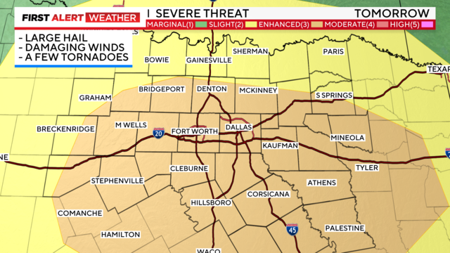
Stay aware of your plans for late afternoon – all modes of severe weather are possible including large hail and damaging winds.
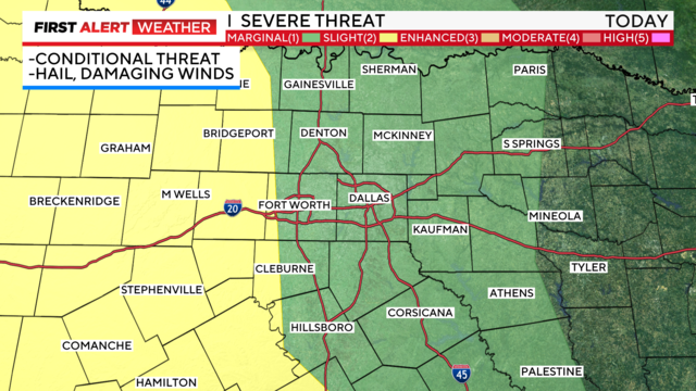
With the threat of severe storms looming for parts of North Texas, the First Alert weather team is continuing to call for weather alerts today into Wednesday.
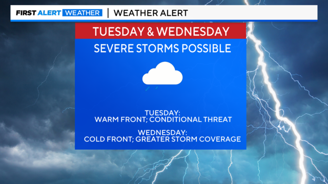
The First Alert Weather team has issued weather alerts for Tuesday and Wednesday. Large hail and damaging winds are the main threat.

A chilly end to the weekend but the possibility for severe weather will return on Tuesday.

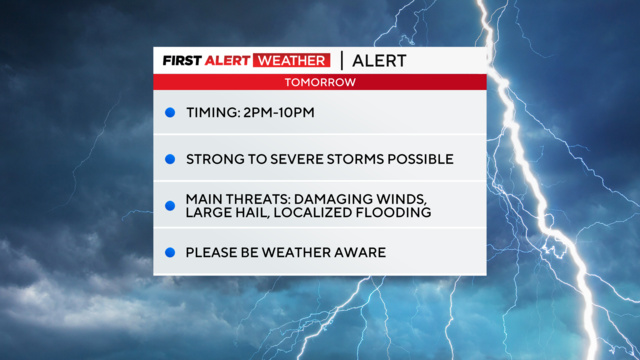
Large hail, damaging winds and localized flooding are possible for parts of North Texas.

The First Alert Weather team headed to Globe Life Field to share their knowledge with others.
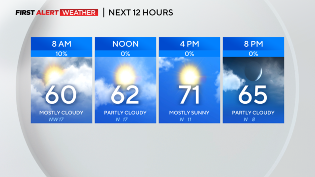
The front is now heading toward East Texas and we are looking at a quieter day on the way.
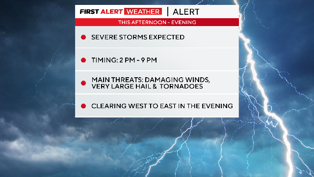
The possibility of severe weather has increased from last night and even just in the last few hours. Damaging winds and large hail are the main threats.