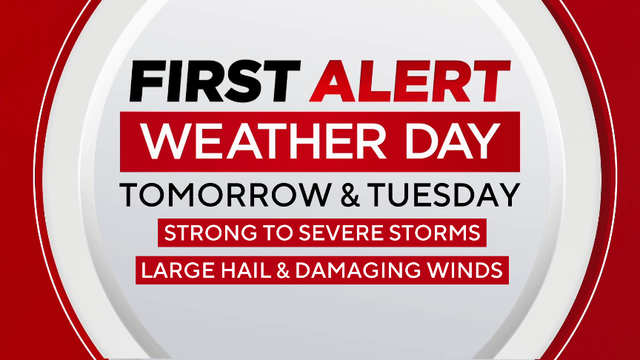
First Alert Weather Day active for Monday, Tuesday in North Texas
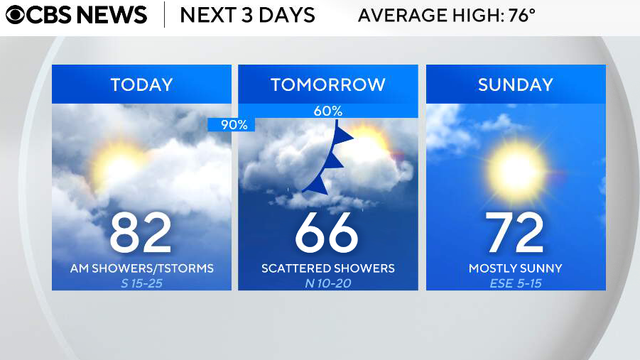
While most of North Texas will remain dry for Sunday, expect things to change to start the work week.
Watch CBS News
While most of North Texas will remain dry for Sunday, expect things to change to start the work week.

Friday will be warm and windy with increasing humidity.
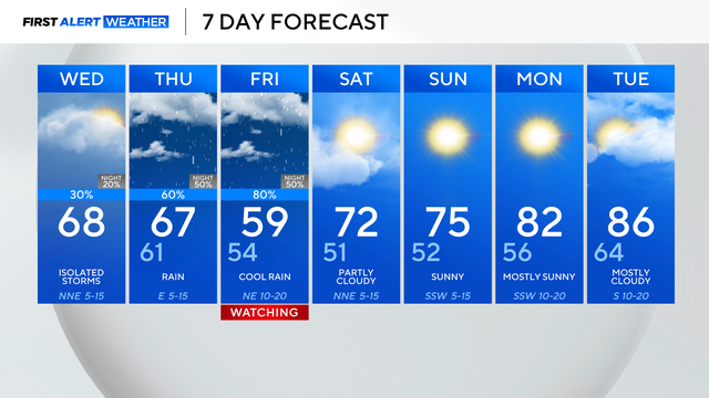
We'll deal with rounds of heavy rain, starting Thursday afternoon and evening. That rain picks up as we get into Friday.

Mineral Wells officials said at least two major manufacturers were impacted as well.
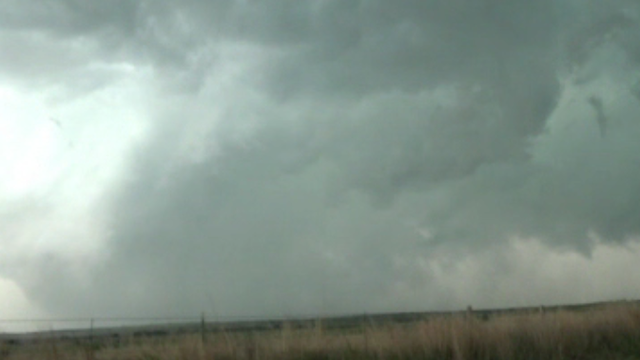
Parker County said one person has died as a result of the storms on Saturday night.
Mostly cloudy skies are in store on Friday, with highs in the low 80s and wind gusts up to 35 mph.
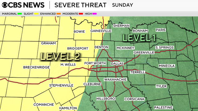
There will be a few sub-severe showers & storms Saturday afternoon. The potential for strong to severe storms is increasing on Sunday & then again Tuesday & Wednesday.

Thursday will be the final rain-free day in North Texas for the next week.
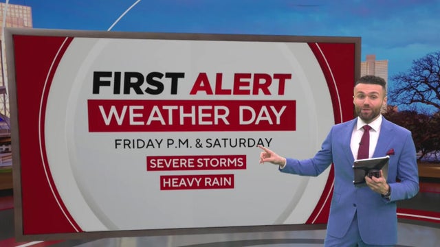
Severe storms and heavy rain are expected in North Texas late Friday into Saturday, with flooding and strong winds possible.
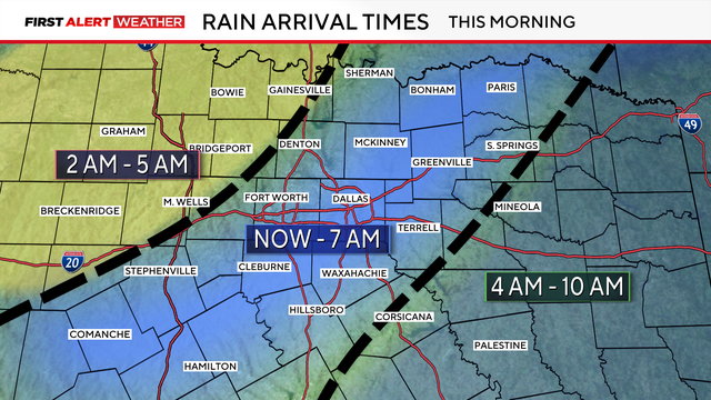
The main threats will be heavy rain, flooding, and ponding on roadways.

Temperatures will fall through Saturday before another warm-up.

After highs in the upper 80s on Thursday, a cold front will bring windy conditions and a drop in temperatures.
The heat index will top 100 this weekend in Dallas-Fort Worth.
Thursday's temperatures will climb to the upper 80s and low 90s in the afternoon with plenty of sunshine.
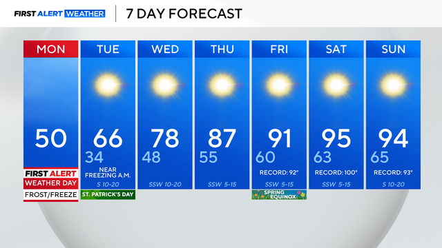
After setting a new record high Sunday of 87°, Monday is over 50° colder than that point.
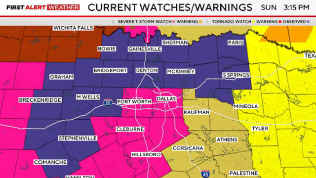
There are currently six watches, warnings, and advisories across North Texas.
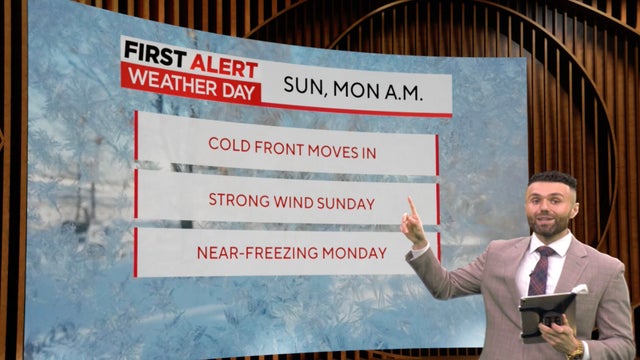
First Alert Weather Days are in place for both Sunday and Monday.

The weekend will be beautiful with highs in the 80s, aside from a windy Sunday, with gusts of up to 40 mph.
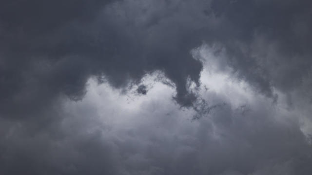
Forecasters say the timing of the front may affect morning travel and outdoor plans.

Friday has the biggest expected chance of severe weather, with most of the region under a level two (slight) risk.
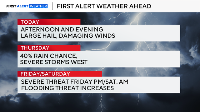
The severe weather threat begins around 5 p.m. Wednesday and continues through midnight.

The Fort Worth Fire Department said crews have been on the scene for 30 minutes and are still in defensive operations.
Meteorological spring starts on Sunday with temperatures well above average.

High temperatures on Thursday afternoon will to the low 80s.
Temperatures on Sunday morning will be close to freezing.