Rain, rain, go away: Philadelphia breaks multiple rain records in December
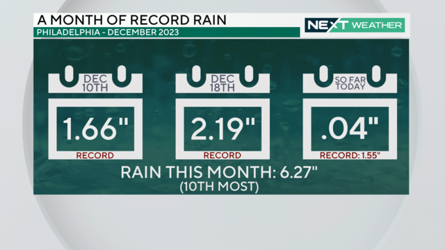
For the third time in December 2023, a daily rainfall record is expected to be broken in Philadelphia.
Watch CBS News
For the third time in December 2023, a daily rainfall record is expected to be broken in Philadelphia.
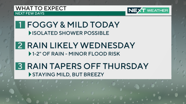
High temperatures will be in the 50s Tuesday afternoon despite generally cloudy and humid conditions. Widespread rain and possibly heavy downpours move in Wednesday, which could result in some minor flooding.
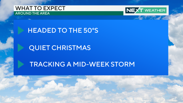
Christmas Day will be partly cloud and sunny but unseasonably warm with a high of 54 before an unsettled weather pattern moves in Tuesday through Thursday.
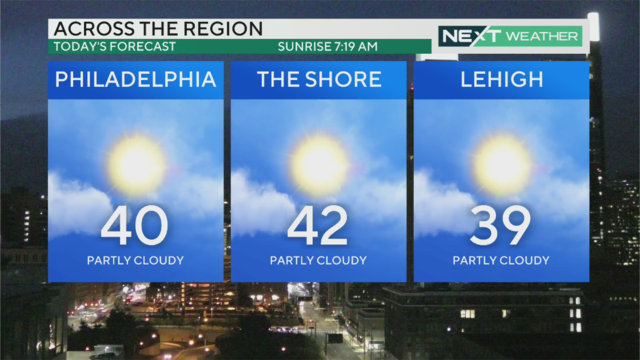
It's calm with a wind chill, and skies are sunny and clear for Friday, Dec. 22, 2023. Sadly there is no chance of snow on Christmas Day.
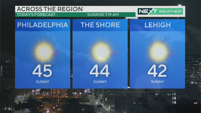
Temperatures warm to a high around 46 degrees with mostly sunny skies, but the winter solstice means Thursday will be the shortest day of the year.
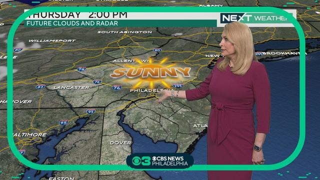
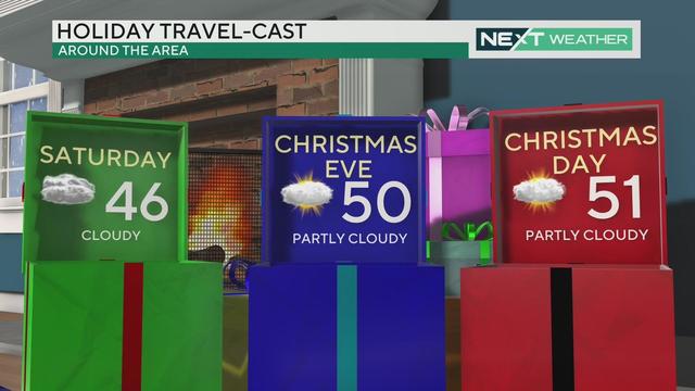
Except for a possible stray shower Saturday night, it'll be a mix of sun, clouds and dry conditions through Christmas Day around the region. Enjoy plenty of sun Thursday as your holiday travel gets underway. Tammie Souza has your forecast, and when our next big weather maker moves in.
Plenty of sun Wednesday afternoon with high temperatures in the upper 40s. A dry weather stretch continues into the weekend and through Christmas Day.
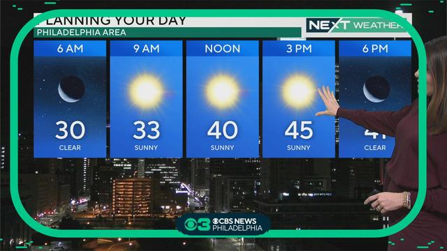
Temperatures will feel like the 20s with wind chills Wednesday morning, but we'll see sun and a seasonable high of 47 degrees in the afternoon. Kate Bilo has your morning forecast, and what to expect from the weather as your holiday travel gets underway. https://www.cbsnews.com/philadelphia/weather/
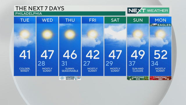
A cold and blustery afternoon is on the way with wind chills at 32 degrees or below, but sunny skies and more seasonable temperatures return Wednesday and Thursday.
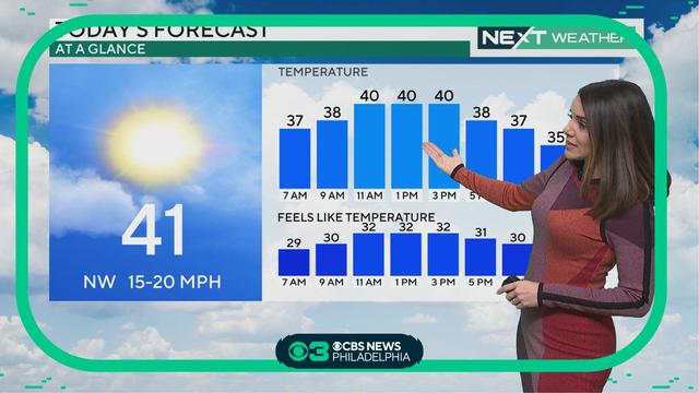
Some sunshine is on the way Tuesday with highs in the low 40s, but wind chills will make temperatures feel closer to freezing. Kate Bilo has your forecast, and what to expect this week as holiday travel ramps up.
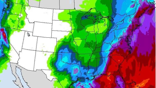
The storm was hitting the Northeast with bring gusty winds and heavy rain as it tracked northward.
The heaviest of the rain has ended across the Philadelphia area, but light to moderate showers will be possible through midday before some drier air begins to move in.
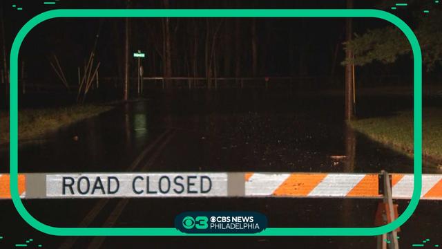
Poor travel conditions have been reported across Montgomery and Bucks counties, and multiple roads are closed Monday morning due to flooding and ponding. https://www.cbsnews.com/philadelphia/news/flooding-power-outages-pennsylvania-new-jersey-delaware-rain/
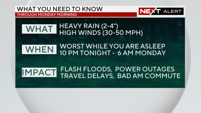
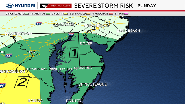
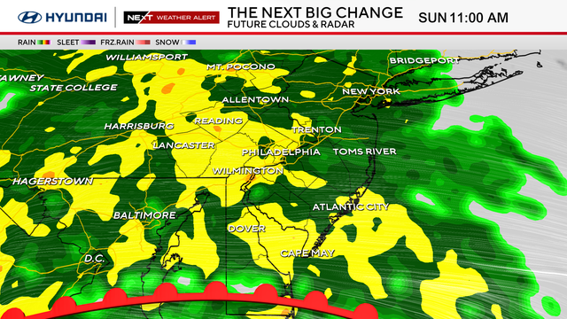
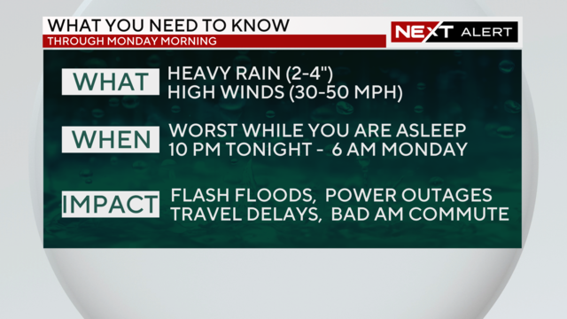
Sunday's widespread, long-term rain event moves into Monday. Heavy rain and wind gusts up to 30-50 mph could lead to localized flooding and possible power outages.
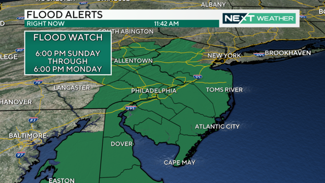
The heaviest rain will arrive in the Philadelphia region on Sunday night, making for a dreadful Monday morning commute.
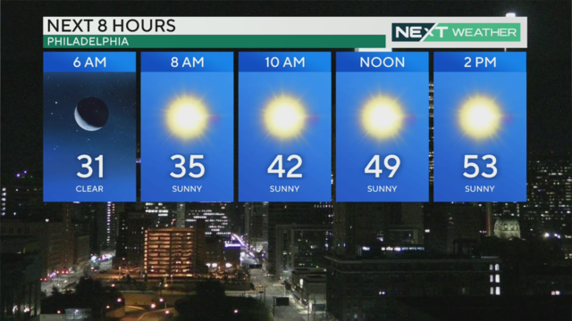
Temperatures return to the 50s Saturday before another strong storm system arrives Sunday into Monday
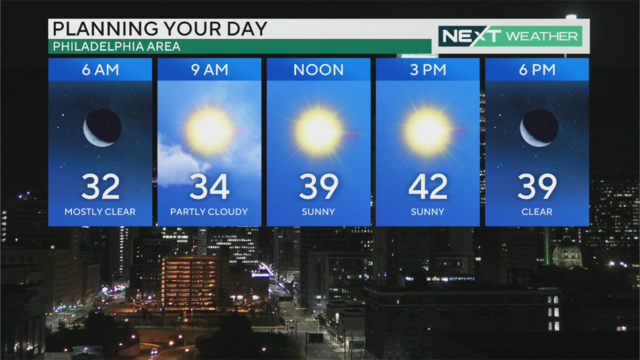
Thursday will be the coolest day of the week with highs in the low 40s, but warmer temperatures in the 50s return Friday.
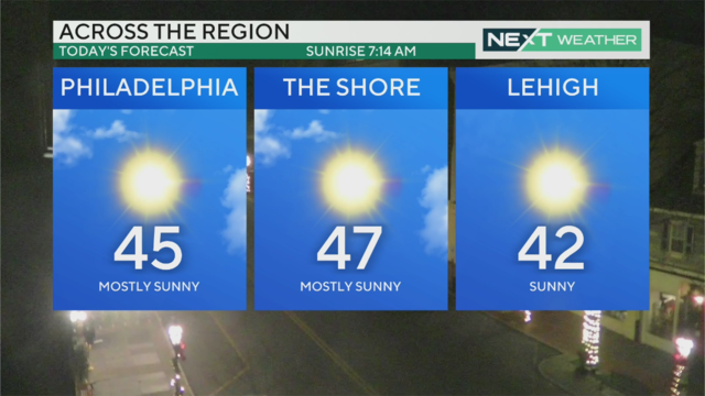
Another sunny day Wednesday before a front passes ushers in colder air Thursday, when temps will struggle to make it to 40.
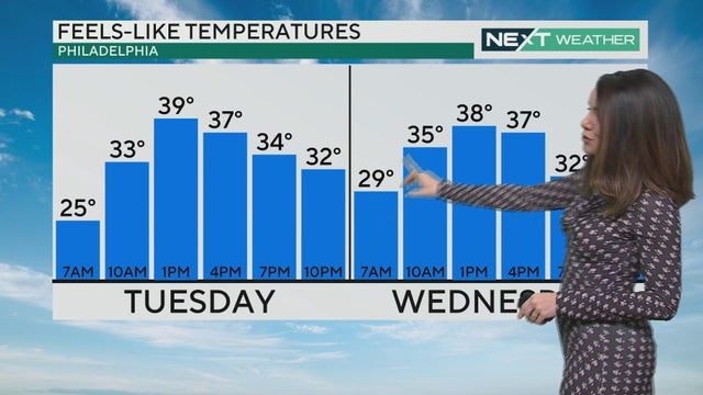
Tuesday and Wednesday will be seasonable days with temperatures in the mid-to-upper upper 40s, though a breeze will make it feel a little cooler. The coldest day of the week comes on Thursday, with highs only in the 30s.

Rain continued through the overnight hours Sunday into Monday in the Philadelphia region and changed to snow in some places. Precipitation will end by mid-morning Monday.

Heavy rain, gusty winds and possible flooding will impact the entire Delaware Valley region, and a Flood Watch is in effect from 1 p.m. Sunday through 4 p.m. Monday.

Temperatures are mild Friday and Saturday, but a storm is headed our way Sunday into Monday.

Accumulations will be fairly low, but some spots could pick up a few tenths of an inch up to half an inch western areas. Thursday's high temp will reach 43 with chills in the 30s, before temperatures rebound to the 50s Friday and Saturday.

Showers and even some snowflakes are possible Wednesday, but don't expect any accumulation.

Dress for colder weather through the middle of the week! Wind chills on Wednesday will make it feel like barely above freezing.