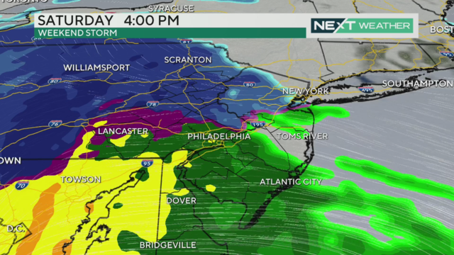
NEXT Weather: Rain more likely than snow for this weekend's storm
The forecast of a coming weekend storm is becoming clearer, and it looks like Philadelphia will see mostly rain.
Watch CBS News
The forecast of a coming weekend storm is becoming clearer, and it looks like Philadelphia will see mostly rain.
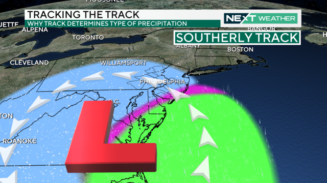
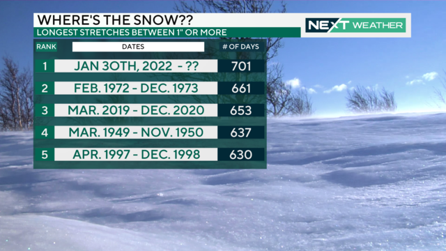
The first significant winter storm of the season could bring the first notable snow accumulation to the Philadelphia area in almost two years.
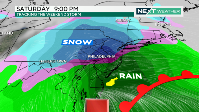
Quiet weather continues midweek, but the first weekend of 2024 has the potential to bring the Philadelphia region a significant winter storm.
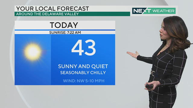
Expect sunshine and highs in the 40s Tuesday and Wednesday, but a potentially significant snow and rain event is on the way this weekend.
A strong storm system expected to arrive during the first weekend of 2024 shows the possibility of being a significant winter weather event.
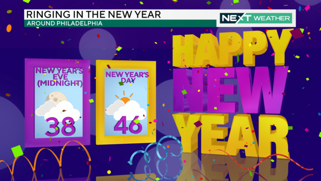
Partly sunny skies and seasonable temperatures spread across the region for the last day of 2023. A chance for isolated sprinkles or flurries moves in late and continues through Monday.
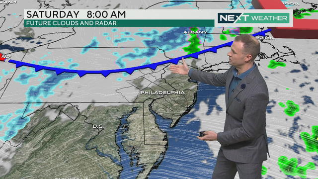
Saturday, Dec. 30 is cloudy with a chance of a light sprinkle in the Philadelphia region.
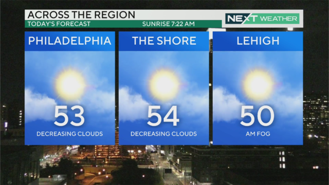
High temperatures will reach the 50s in the Philadelphia region on Friday, Dec. 29, 2023.

This is a special year-end edition of the Pulse that shines a spotlight on heart, hustle and home. Here are some of the stories that represent the heart behind the headlines of 2023.
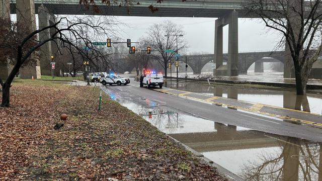
A section of Kelly Drive between Ferry Road and Midvale Avenue is now open after being closed Thursday because of flooding.
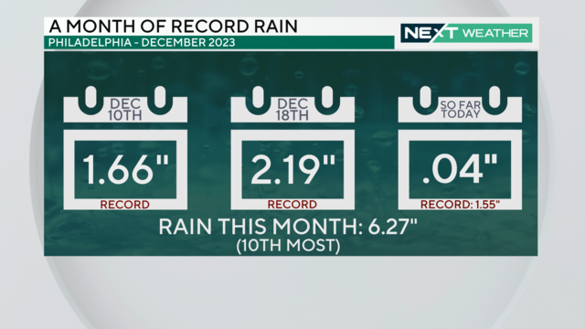
For the third time in December 2023, a daily rainfall record is expected to be broken in Philadelphia.
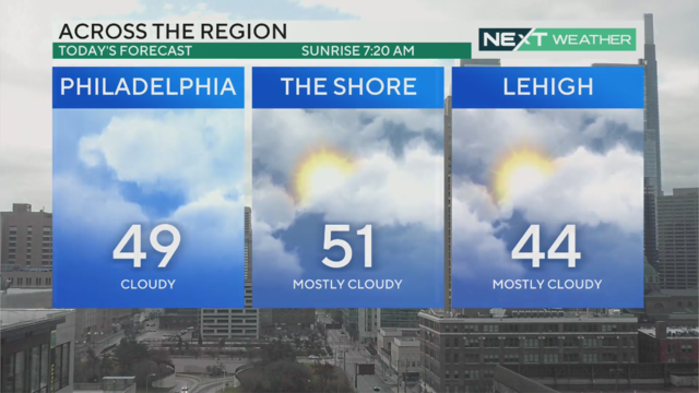
Christmas Eve will be cloudy with morning sprinkles, but temperatures will be seasonable in the mid and upper 40s.
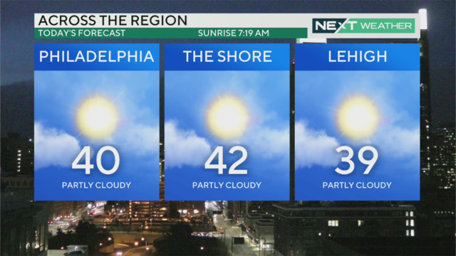
It's calm with a wind chill, and skies are sunny and clear for Friday, Dec. 22, 2023. Sadly there is no chance of snow on Christmas Day.
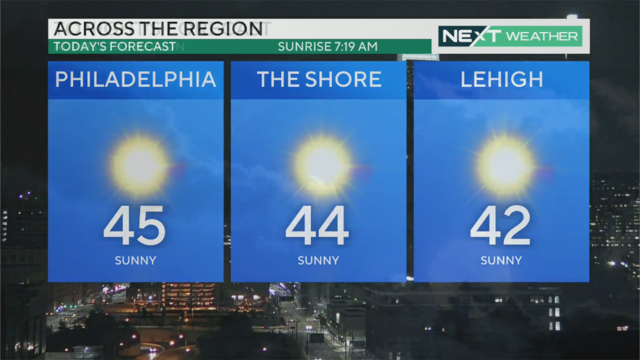
Temperatures warm to a high around 46 degrees with mostly sunny skies, but the winter solstice means Thursday will be the shortest day of the year.
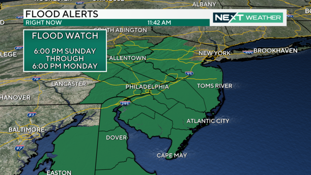
The heaviest rain will arrive in the Philadelphia region on Sunday night, making for a dreadful Monday morning commute.
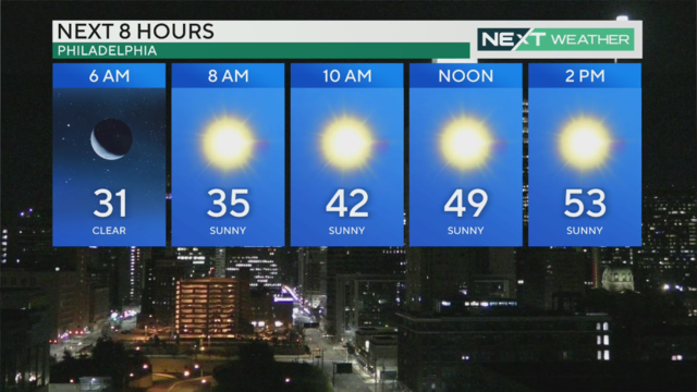
Temperatures return to the 50s Saturday before another strong storm system arrives Sunday into Monday

A storm that began Sunday and led to three record daily rainfall maximums will wrap up Monday morning, but not before a band of light snow pushes through the area.

Rain continued through the overnight hours Sunday into Monday in the Philadelphia region and changed to snow in some places. Precipitation will end by mid-morning Monday.

Heavy rain, gusty winds and possible flooding will impact the entire Delaware Valley region, and a Flood Watch is in effect from 1 p.m. Sunday through 4 p.m. Monday.

Temperatures are mild Friday and Saturday, but a storm is headed our way Sunday into Monday.

Accumulations will be fairly low, but some spots could pick up a few tenths of an inch up to half an inch western areas. Thursday's high temp will reach 43 with chills in the 30s, before temperatures rebound to the 50s Friday and Saturday.

Showers and even some snowflakes are possible Wednesday, but don't expect any accumulation.

After a rainy and foggy cap on the weekend, our NEXT Weather team forecasts that skies will slowly clear out Monday, as the main area of low pressure moves away from the east coast.

Fog gives way to clouds on this warmer-than-average December day. It'll be dreary, but we're not expecting rainfall.

Clouds roll into the Philadelphia region Friday before showers this afternoon, giving way to a warm Saturday.