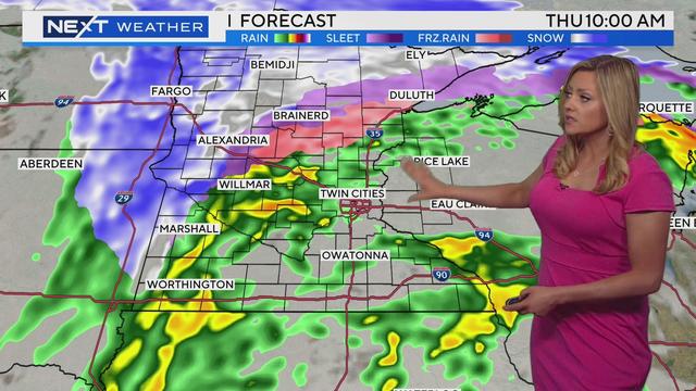
NEXT Weather: More rain and isolated thunder Thursday
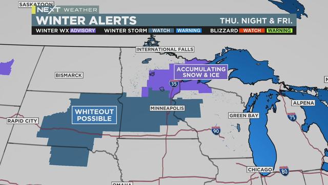
A winter storm watch is in effect Wednesday night through Friday in far northern and northwestern Minnesota.
Watch CBS News
A winter storm watch is in effect Wednesday night through Friday in far northern and northwestern Minnesota.
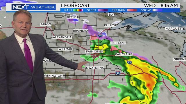
The rest of the work week will feature precipitation, including isolated thunder and snow.
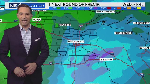
With many rivers in Minnesota already swelling their banks, we're looking at several chances for rain this week.

As of 11 a.m. Monday, the National Weather service reported the St. Croix reached moderate flood stage at 88 feet, and Bayport city leaders said they're expecting it will rise another foot and a half to major flood stage in the next couple of days.

Across Minnesota, riverside communities are dealing with road closures due to flooding.
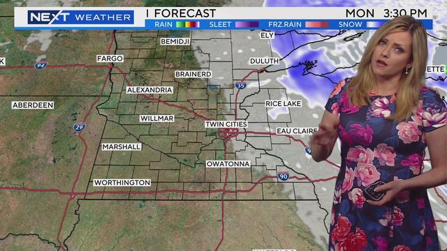
Many Minnesotans woke up to snow on the ground Sunday morning, but don't get too used to that sight.
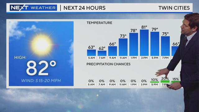
Minnesota warms to the 80s once again Friday before rain arrives in the evening.
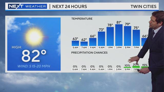
Minnesota warms to the 80s once again Friday before rain arrives in the evening.
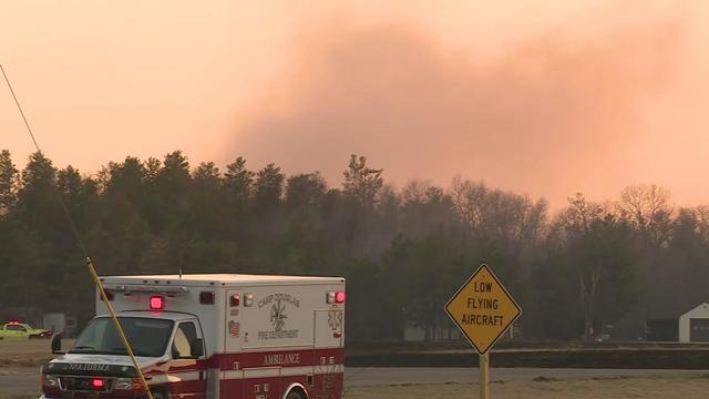
The National Weather Service has issued warnings for 31 counties, asking residents not to burn due to conditions ideal for spreading fires.
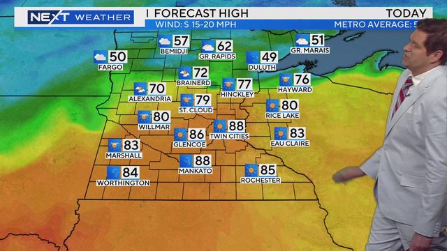
More record-setting heat arrived in the Twin Cities on Thursday.
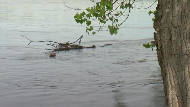
The latest flood outlook shows parts of the Mississippi around the metro could reach flood stage as early as this weekend.
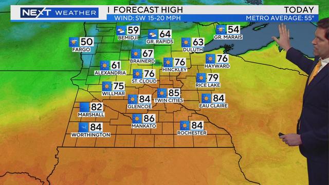
It's official: Record-setting heat has been confirmed in the Twin Cities on Wednesday.
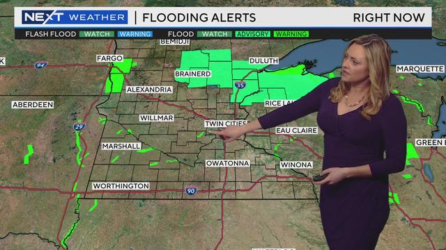
Meteorologist Lisa Meadows has the latest forecast.
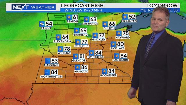
After hitting the 70s on Monday, the Twin Cities crossed another temperature threshold on Tuesday.
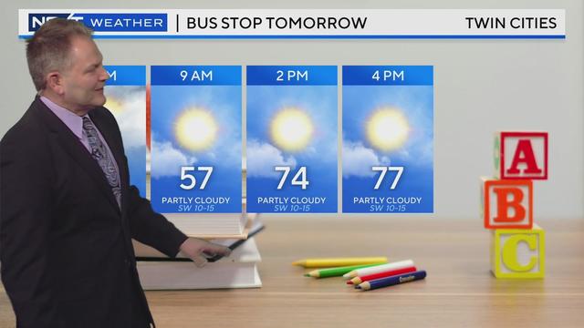
The Twin Cities will be treated to some tropical temperatures this week, before a big cooldown kicks off this weekend.
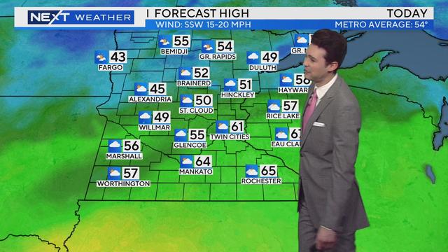
This week will bring Minnesota its first 70-degree day of the year, and even the first 80-degree day for some.
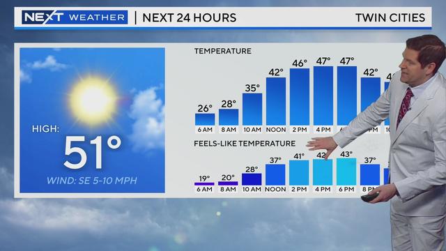
After a chilly overnight, Minnesota will finally get treated to some mild air.
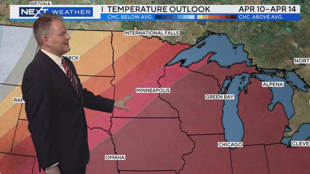
Minnesota is set to endure another chilly day before spring weather finally makes a proper appearance.
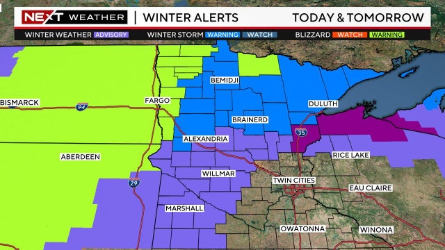
While much of the snow should miss the Twin Cities, communities up north could see 10-plus inches.

Because this miserable winter refuses to see the door, the Minnesota Twins announced that the planned Home Opener has been postponed from Thursday to Friday.

The current forecast pegs the high at a breezy 37 degrees, with partly cloudy skies. At least it will likely be dry.
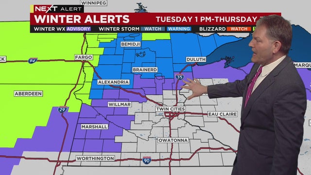
A NEXT Weather Alert is being issued Tuesday for another messy spring storm.
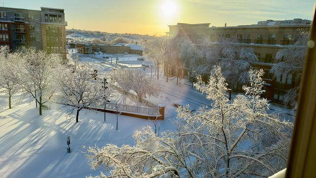
One day after a blizzard coated the Twin Cities in several inches of snow, the metro hit 50 degrees for the first time this year.
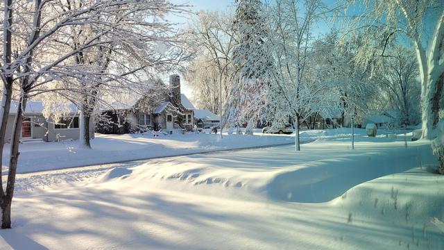
Some areas around the Twin Cities are reporting around 9 inches of heavy, wet snowfall overnight.
Frigid air, freezing rain and snow are all NEXT Weather factors for Minnesota's second week of spring.