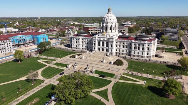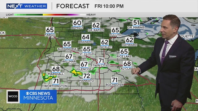
NEXT Weather: 6 p.m. report for Minnesota from June 12, 2026
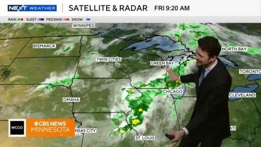
NEXT Weather meteorologist Mike Augustyniak says Twin Cities residents could see some rain showers on Friday night before a breezy Saturday.
Watch CBS News
NEXT Weather meteorologist Mike Augustyniak says Twin Cities residents could see some rain showers on Friday night before a breezy Saturday.
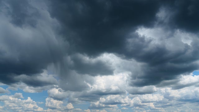
Thursday will bring scattered showers, occasional thunder and a much cooler feel to the Twin Cities.
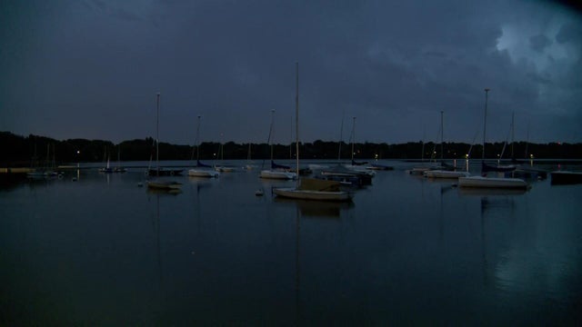
As of 8 p.m., most of the severe storms are out of Minnesota and trending weaker, though hail and wind gusts up to 40 mph are still possible to the west.

Tuesday will be hot and humid in the Twin Cities, with air quality concerns starting midday and storm chances arriving overnight.
Meteorologist Joseph Dames has the latest forecast.
Enjoy Wednesday, Twin Citians, because some stormy weather is on the way.
The Twin Cities will have a quiet Tuesday night as temperatures fall back into the low 60s.
The Twin Cities will enjoy a lovely first day of meteorological summer.
An air quality alert will be in effect Friday in the Twin Cities for ozone pollution as summerlike warmth rolls on.

Much of Minnesota will stay warm and dry for the next several days thanks to an "omega block."
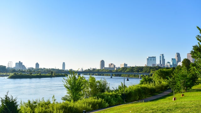
Summer warmth will hang on in the Twin Cities Wednesday, with some storms possible later in the day.
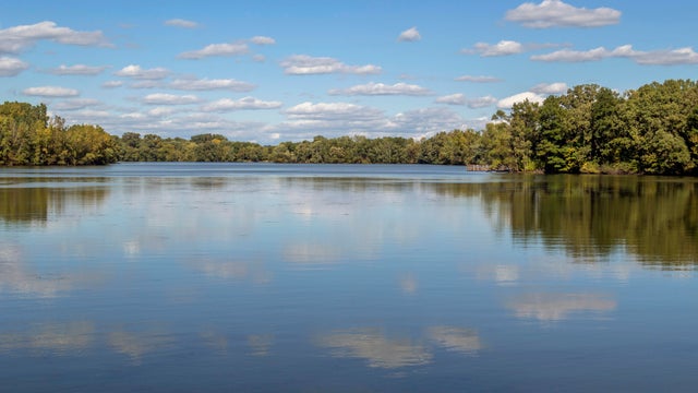
There will be scattered showers and isolated thunder Tuesday evening in the Twin Cities, with a marginal threat — 1 on a scale of 5 — for severe weather.
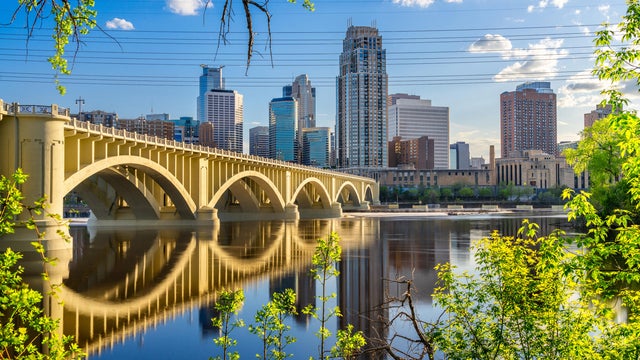
Summer heat will build quickly this week in Minnesota, with a few storm chances mixed in.
The winds will calm, the sun will come out and temperatures will start to climb on Tuesday in the Twin Cities.

Tuesday's going to be a gloomy day in the Twin Cities, with lingering light showers early, clouds, strong winds and highs in the mid-50s.
Tuesday will feature cool air and windy conditions in the Twin Cities.
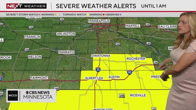
Things turn active on Sunday with a stronger storm system bringing much-needed soaking rains.
Wednesday is a #Top10WxDay in Minnesota thanks to sunshine, lighter winds and highs in the 70s.
Expect breezy winds, highs in the 70s and sunshine in the Twin Cities on Tuesday, with fire danger out west.
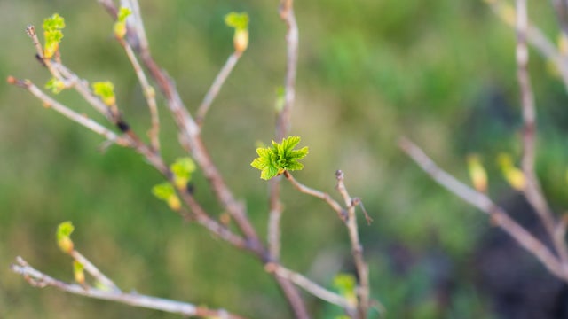
Wednesday will be cold and breezy in Minnesota, with frost and freeze alerts in place for parts of the state in the morning.
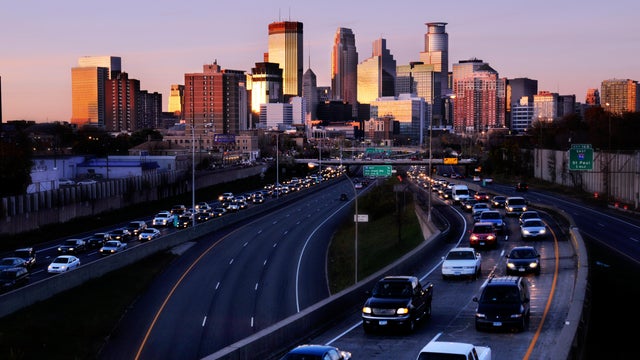
The Twin Cities are under a frost advisory and other parts of Minnesota are under a freeze warning overnight Thursday due to temperatures that could fall enough to harm sensitive plants.
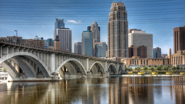
Expect dry and quiet weather this week in the Twin Cities, with more frost and freeze threats ahead.
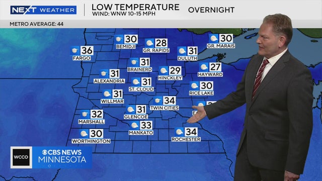
A large part of Minnesota will reach near or below freezing between Friday night and Saturday morning, according to NEXT Weather meteorologist Chris Shaffer.
A freeze warning will be in effect in parts of central and southern Minnesota on Saturday from 1 a.m. to 8 a.m., according to the National Weather Service.

Wednesday will start out chilly in the Twin Cities before temperatures end up in the mid to upper 50s.