
Stretch of quiet, cooler days begins Tuesday in Minnesota
Highs on Tuesday will reach the mid-50s, with decreasing winds but some breezy moments. It will be mainly dry with sunnier skies.
Watch CBS News
Highs on Tuesday will reach the mid-50s, with decreasing winds but some breezy moments. It will be mainly dry with sunnier skies.

Rain showers move out of Minnesota overnight Tuesday, and the clouds will follow.
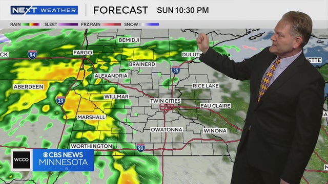
Clouds will cover the Twin Cities on Saturday before rain moves into Minnesota on Sunday night, according to NEXT Weather meteorologist Chris Shaffer.
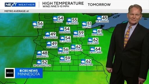
NEXT Weather meteorologist Chris Shaffer says Saturday will be mostly cloudy with high temperatures between the high 50s and low 60s across much of Minnesota.

Wednesday will be hot, windy and very dry in Minnesota, prompting critical fire danger for much of the state.
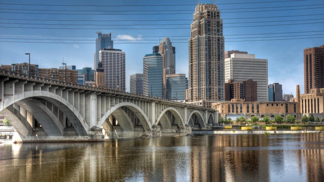
Tuesday will be warm and dry in the Twin Cities, with lighter winds.

A red flag warning for critical fire weather conditions is in effect until 8 p.m. Monday for northern, western and central Minnesota.
Morning flurries move out and the sunshine returns with highs in the upper 40s Sunday.

Temperatures will only get to the mid-40s on Saturday. Breezy winds will keep wind chills in the 30s under a mix of clouds and sun.
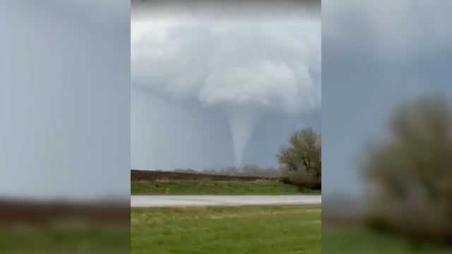
The severe weather threat is over for southeastern Minnesota on Friday, just hours after a string of apparent tornado touchdowns earlier in the afternoon.
Thursday will be warm, dry and breezy in the Twin Cities, while other parts of Minnesota will face extreme fire risk.
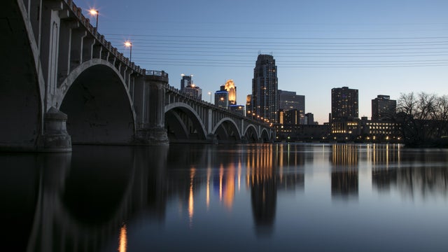
The Twin Cities will be filled withe sunshine in the Twin Cities on Thursday with temperatures reaching the mid-70s.

After Monday's severe storms brought tornadoes to parts of Minnesota, Tuesday will be much quieter across the state.
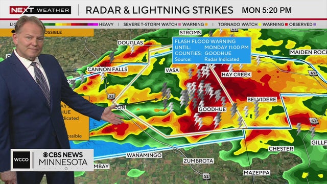
The WCCO NEXT Weather team tracks severe storms, some of which produced hail, that have been moving through parts of southern Minnesota on April 13, 2026.
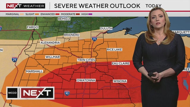
Minnesotans across central and southern Minnesota could see severe storms move through the area on Monday afternoon and evening, according to NEXT Weather meteorologist Lisa Meadows.
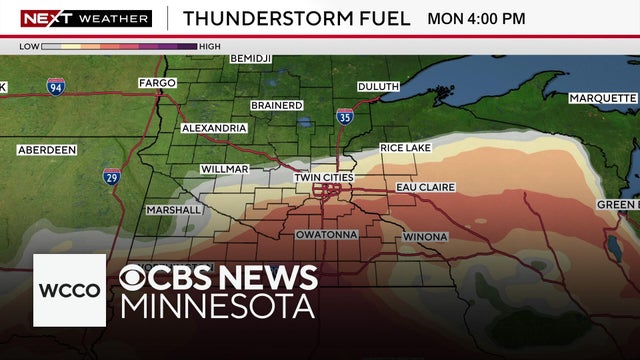
Temps are expected to top out in the 70s on Monday, but the afternoon will see the chance for some hail and severe storms, NEXT Weather meteorologist Joseph Dames says.
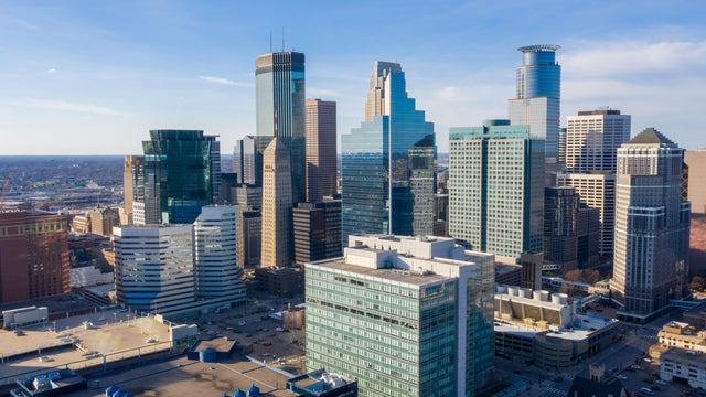
Friday will be quiet in the Twin Cities, with highs in the 50s, light winds and some sunshine.

The week will wrap up with a cooler, quiet stretch in the Twin Cities before a warmer, stormy turn.

Temperatures will cool into the mid-30s Wednesday evening in the Twin Cities, with a passing cold front bringing some scattered showers.
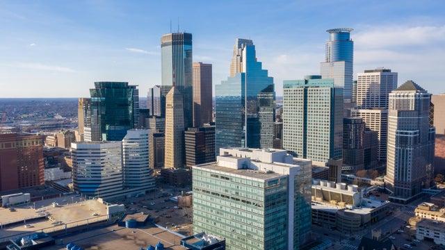
Tuesday will start out cold but turn milder by the afternoon, and the coming days will bring several chances of rain.
Monday is set to be the coldest day of the week in the Twin Cities.

Minnesota will see more messy weather on Friday ahead of a cooler weekend.

Winter weather alerts remain in place in Minnesota Thursday as a strong storm slings ice and snow across the state.

A couple of rounds of messy weather, including rain, slush, ice and snow, are set to hit Minnesota in the coming days.
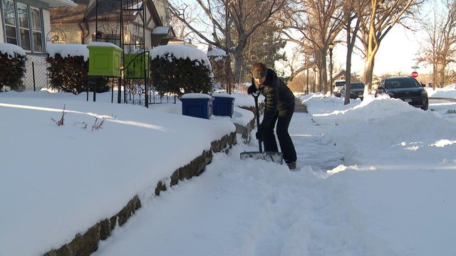
Looking back at the month of March, a lot of people think about our March snowstorm, but temperatures were actually above average.