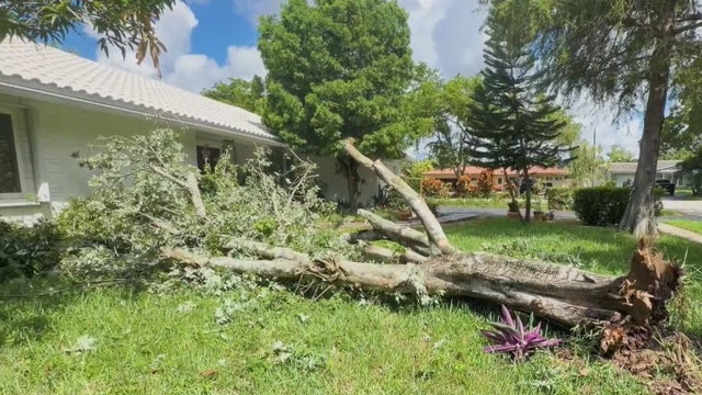
Storms topple trees, knock out power in Broward neighborhood
Surveillance video captured the damage as strong winds downed trees and cut power to nine homes.
Watch CBS News
Surveillance video captured the damage as strong winds downed trees and cut power to nine homes.
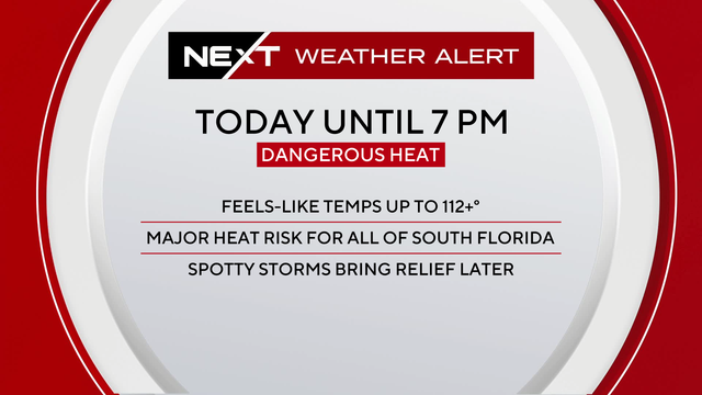
More moisture could also be seen on Wednesday around South Florida, which will lead to even hotter feels-like temperatures due to the humidity.
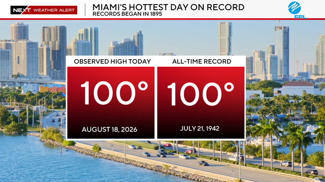
Health officials urged families to stay hydrated and limit time outdoors during the hottest hours on Tuesday afternoon.

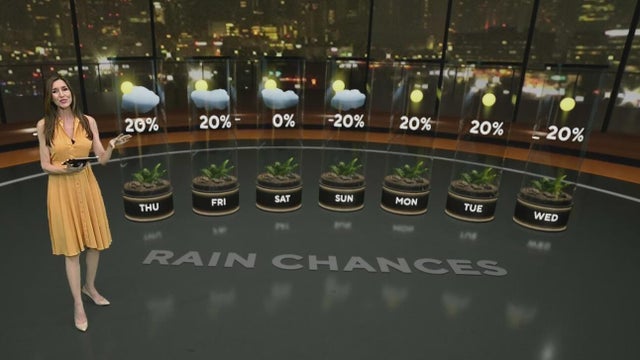
The NEXT Weather Team is monitoring several rounds of rain for the Independence Day weekend in South Florida.
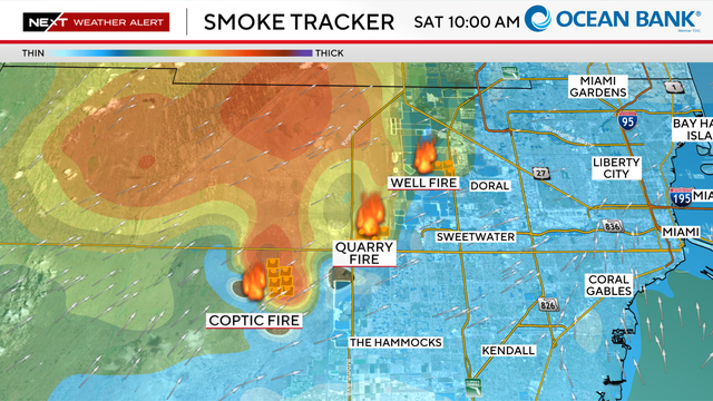
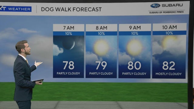
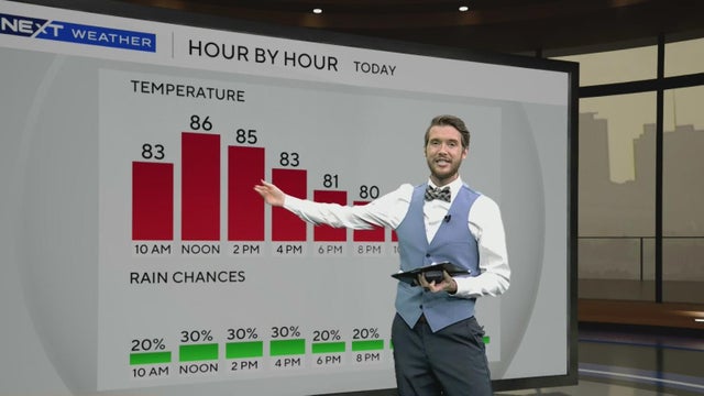
High humidity, high temperatures, and smoke are all factors to keep in mind for today.
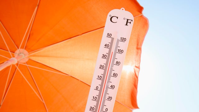
Volunteers from the Miami-Dade Homeless Trust have been distributing cold water and providing directions to cooling centers for the unhoused in downtown Miami.
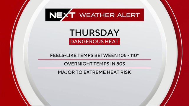
While South Florida is no stranger to heat, Thursday's heat comes during a stretch of hotter-than-normal days, with little overnight relief and fewer afternoon storms expected to cool things down.

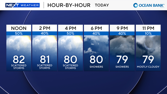
The NEXT Weather Team is tracking a hot and humid day across South Florida.
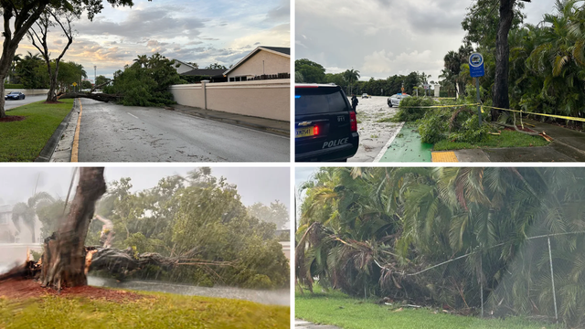
Meteorologist Nic Merianos said 1.5 to 3 inches of rain had fallen over the area over a two-hour window, enough to produce urban and poor-drainage street flooding.
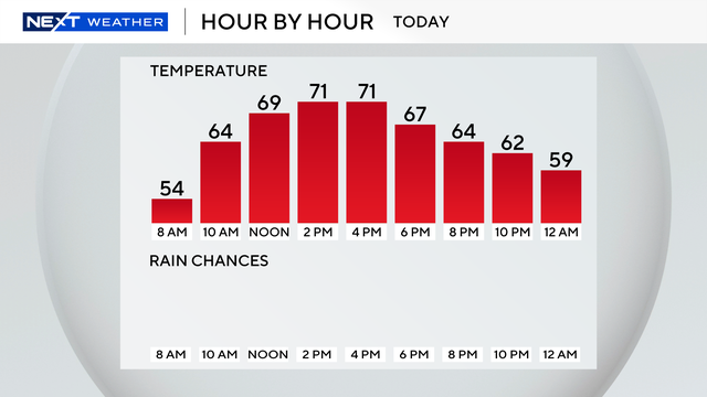
A gorgeous afternoon is expected as highs climb to the lower 70s with no rain concerns.

The NEXT Weather Team is tracking a cold start to 2026 as South Florida wakes up to temperatures in the 40s.
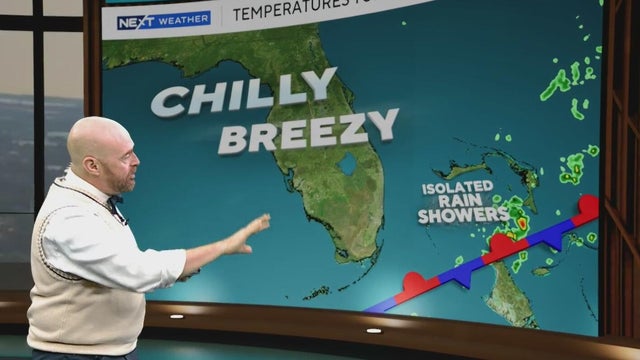
The NEXT Weather Team is tracking a drier and cooler Friday after a rainy Thanksgiving Day.
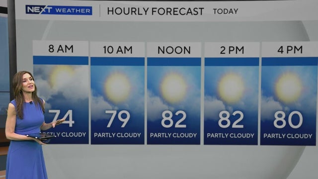
South Florida's warm stretch of weather sticks around Thursday and through the weekend.
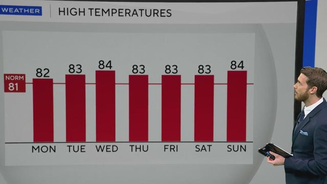
On Monday, a cool start in the lower to mid-60s for most will lead to a warm and mostly sunny afternoon with highs in the lower 80s.
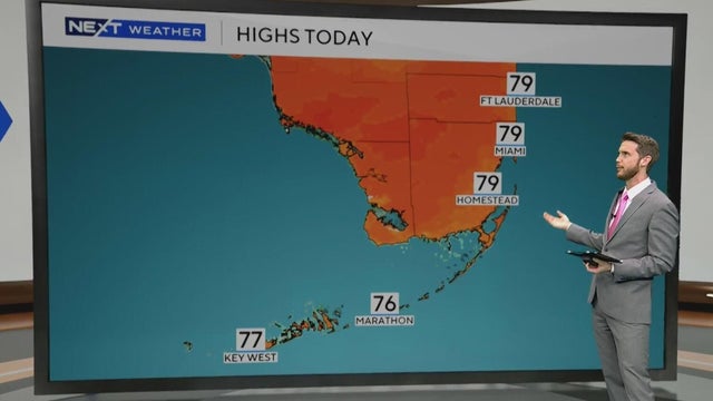
A slight warmup is expected for Friday afternoon as highs climb into the upper 70s.
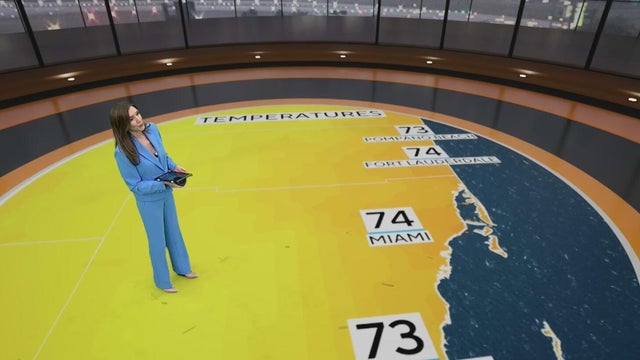
Thursday morning across South Florida is comfortable with lows in the 70s and some showers.
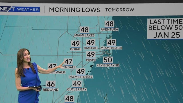
The CBS Miami Next Weather team is tracking a strong cold front set to usher in arctic air and chilly temperatures Monday night into Tuesday morning.
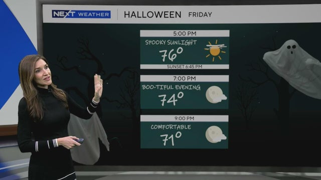
It was a treat to wake up Friday morning with temperatures dipping into the 50s.
The first cold front pushes through the area later Tuesday and will bring a 30% chance for showers and isolated storms in the afternoon.
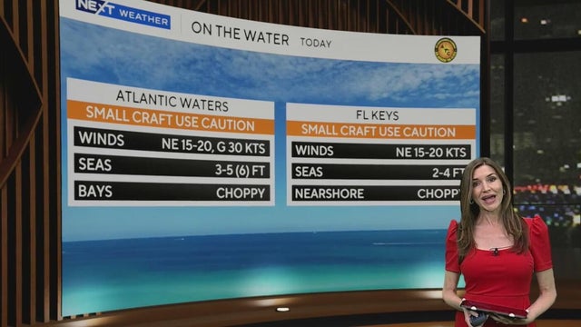
There is a dangerously high risk of rip currents along the Atlantic beaches.
The NEXT Weather Team is tracking the potential for scattered showers and isolated storms to close out the weekend and kick off the beginning of the upcoming workweek.
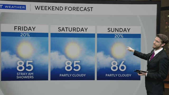
Rain chances linger Friday morning, but drier and breezier conditions arrive for the afternoon.
The morning started comfortably, with temperatures in the low to mid 70s. Highs will climb to the mid to upper 80s this afternoon.
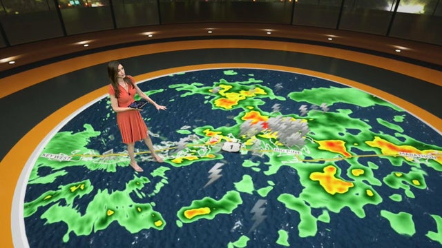
Heavy showers and thunderstorms are drenching South Florida Friday, causing localized flooding before a weekend cold front brings cooler nights.
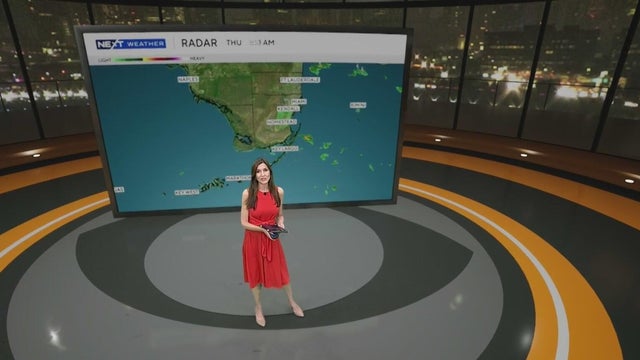
The Weather Prediction Center has put Broward and Miami-Dade under a level 1 risk of flash flooding since heavy downpours and localized flooding will be possible.