SE Michigan to see another beautiful Friday
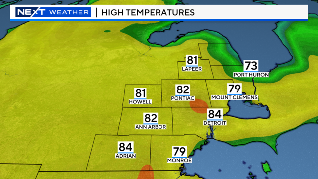
Friday will be another beautiful day with temperatures staying above average and sunshine sticking around.
Watch CBS News
Friday will be another beautiful day with temperatures staying above average and sunshine sticking around.
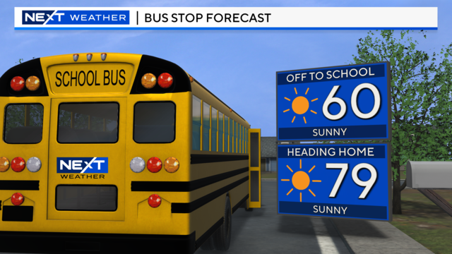
A cold front passed through Wednesday night, leaving us with less wind and less humidity for Thursday.

There were multiple fatalities from a tornado that ripped through the small Iowa town of Greenfield, which saw homes and businesses destroyed.
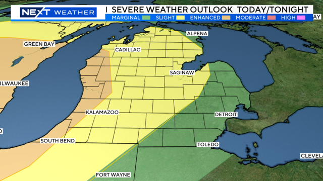
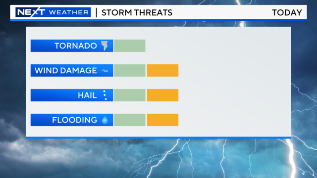
A slight chance of severe storms today and tonight in southeast Michigan.
Temperatures will soar to near 90 degrees with plenty of humid air.
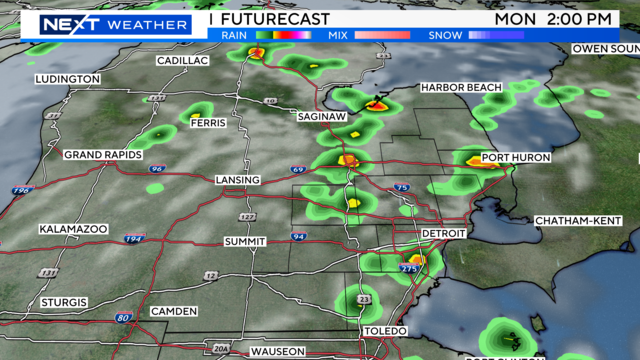
Temperatures will remain in the 80s for the beginning of the week, with a few chances of storms.
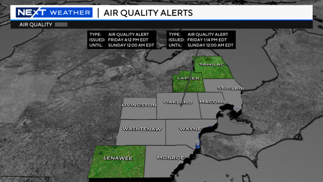
An Air Quality Advisory will go into effect on Saturday due to elevated ozone levels. The advisory is in effect for Livingston, Macomb, Monroe, Oakland, St. Clair, Washtenaw and Wayne counties.
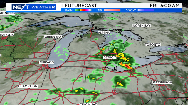
Thursday's sunshine turns to showers and storms for Friday, but it sets us up for a nice looking weekend.
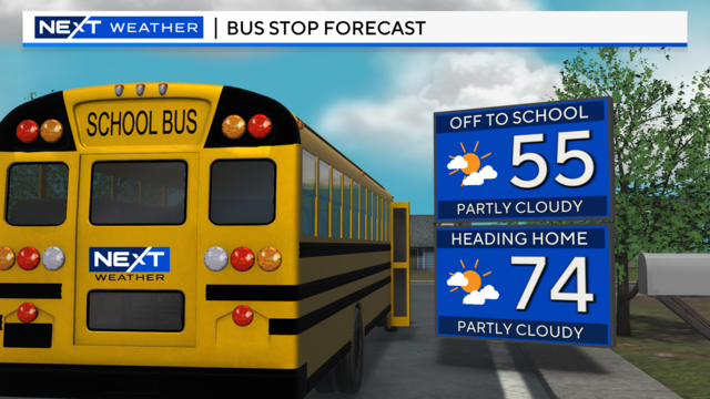
Thursday will be a little bit nicer as we'll see more sunshine throughout the day before a chance of rain showers in the evening.
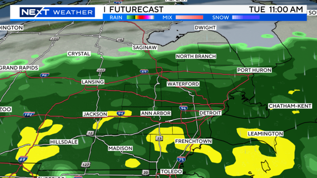
We'll see a chance of showers in the early morning hours on Monday.
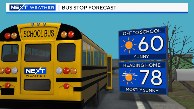
After the storms pass, we'll see sunshine and warm temperatures.
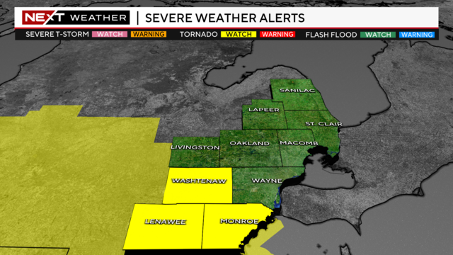
A slight and marginal chance of severe weather is possible on Tuesday afternoon and evening in Southeast Michigan.
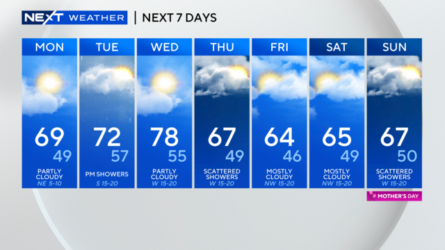
The work week starts out mild, but rain and cooler temperatures are on the way.
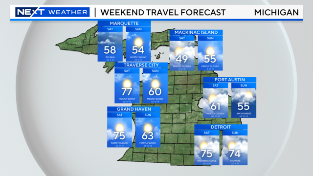
We are expecting mild temperatures and more rain over the weekend.
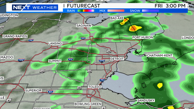
Your NEXT Weather team is tracking rain and storms throughout the day Friday.
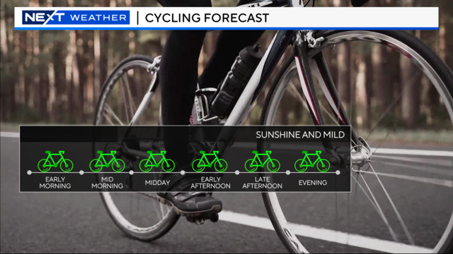
Sunshine continues as temperatures remain above average.
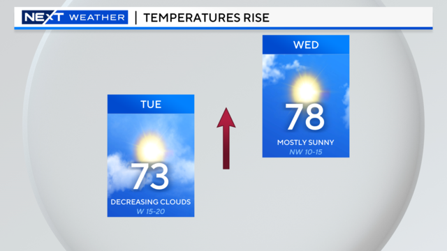
Temperatures will begin Wednesday around 50 degrees in Southeast Michigan.
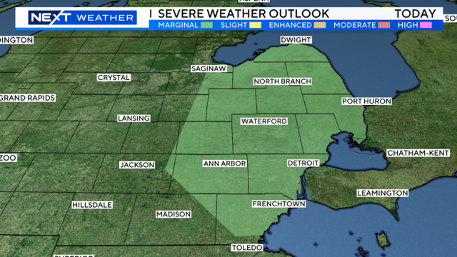
A chance for showers and thunderstorms move in this afternoon with a marginal risk of severe weather.
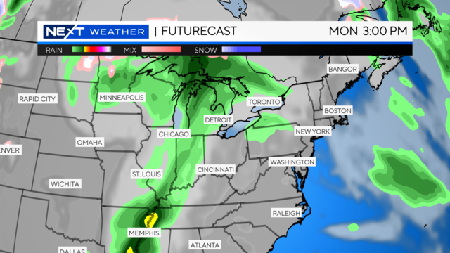
These well-above-average temperatures will hold, with a few chances of rain bookending the work week.
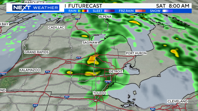
Expect high temperatures in the mid-to-upper 70s for the weekend, with some wind and rain.
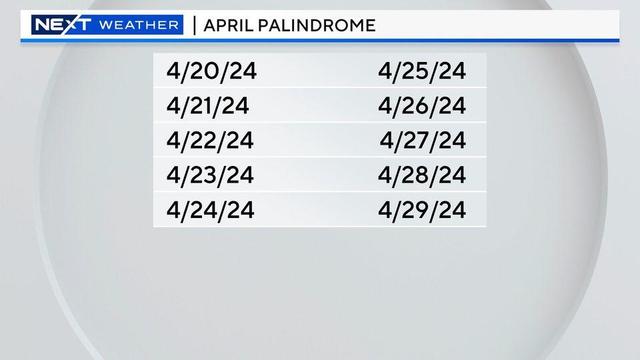
This week has been full of palindromes. Meaning the dates are read the same forwards and backward.
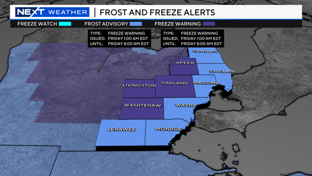
We're expecting another chilly night before warmer air moves in to the area.
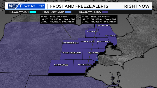
A freeze warning will be in effect from midnight until 8 a.m. on Thursday for all of Southeast Michigan.
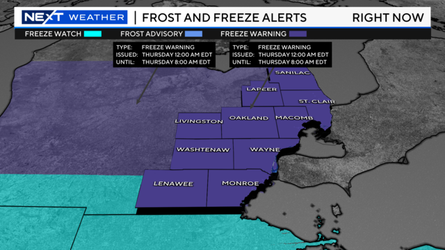
There is an updated freeze warning for all counties in Southeast Michigan as temperatures drop into the 20s Wednesday night through tomorrow morning.
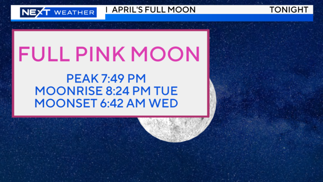
The Full Pink Moon may be difficult to see tonight. But drier conditions, less wind, and cooler temperatures move in for Wednesday.