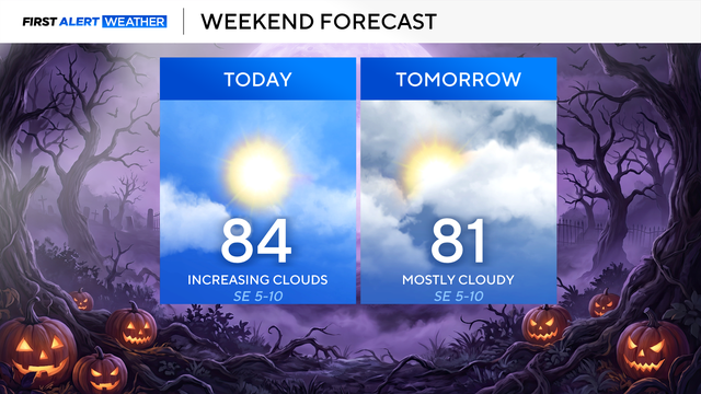
Record-breaking triple-digit heat scorches Texas
Although it's May, the heat of August has arrived early.
Watch CBS News
Although it's May, the heat of August has arrived early.

As the upper-level low pressure to the east moves further east, a ridge of high pressure will build into the Southern Plains, and that will start to bake North Texas mid-week.

Near record highs are expected on Tuesday and Thursday.

It's a beautiful start to the weekend, with mostly sunny skies and temperatures in the low 60s.

Another gorgeous day is ahead with morning temperatures in the 50s and 60s under clear skies on Friday.

Spotty showers are likely on Friday, but Mother's Day weekend will be pleasant and mostly clear.

By the middle of May, spring storms are expected to return.
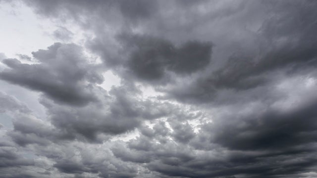
The main threats with Tuesday's storms include wind damage, large hail and flooding.
A widespread and impactful round of storms is expected late Monday night through much of Tuesday.

Colleyville FD said three adult victims were found and transported to the hospital with minor injuries.

If you plan on enjoying the day outside, keep the pollen count in mind. It's in the "Medium" category.

Great weather continues for Sunday, followed by isolated afternoon storms by Monday.

Storms containing large hail, damaging winds and even an isolated tornado will be possible with the threats lasting into the evening.
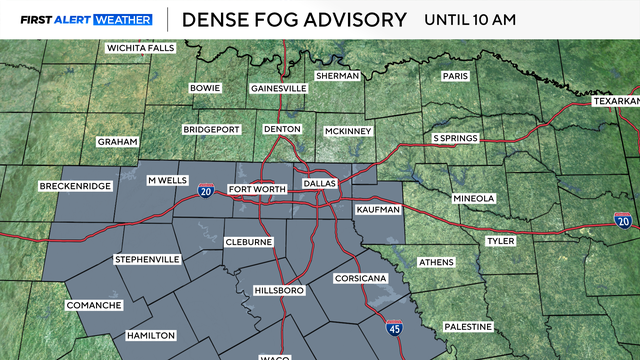
Dense fog could impact the Thursday morning commute.

After an active weather day with several inches of rain, large hail, and strong gusty winds, things are calming down, briefly.
A First Alert Weather Day is in effect on Wednesday in North Texas.

By Wednesday, the severe weather threat encompasses the entire North Texas region.
Monday will be cloudy, windy and warm, with potential severe weather threats for much of the week ahead.

Tuesday and Wednesday are First Alert Weather Days as the threat of storms increases across the area.

Sunday and Monday will be quiet, but potentially severe storms are being tracked for Tuesday and Wednesday.

The lull in precipitation will allow temperatures to climb well into the 80s Friday afternoon, so it will feel warm outside.

Keep the umbrella nearby, North Texans.
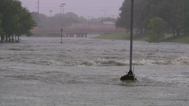
The heavy rain will continue off and on into the afternoon hours with more storms developing overnight into Thursday.
As North Texans head into the second half of the week, the active weather pattern isn't going anywhere.

Periodic storms arrive Tuesday night into Wednesday, with on-and-off storm chances through the end of the week.