Cloudy, cooler Wednesday follows night of storms and heavy rain in North Texas
Overnight storms cleared from Dallas-Fort Worth shortly after midnight, leaving flooding due to heavy rain their wake.
Watch CBS News
Overnight storms cleared from Dallas-Fort Worth shortly after midnight, leaving flooding due to heavy rain their wake.

In the late-night hours, damaging winds and flash flooding are the highest risks.

The plume is forecast to move northwest and reach Florida mid-week, then hit other states including Georgia, the Carolinas, Texas and Louisiana by Friday, radar shows.
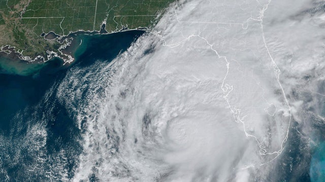
The 2025 Atlantic hurricane season begins during a tumultuous period at the National Weather Service, following significant cuts at the country's forecasting agency.

A storm complex moving from Oklahoma to Texas Sunday morning will bring the chance for isolated to scattered severe storms.

Two rounds of storms are predicted for Sunday - one expected in the early morning across northern areas, followed by another in the south by the afternoon.
Unfortunately, Dallas-Fort Worth has an Air Quality Alert. Those sensitive groups with upper respiratory issues will want to limit their time outdoors.

After a rainy Friday morning, a very comfortable day is ahead in North Texas.

The potential of strong to severe storms on Thursday has prompted a First Alert Weather Day.

A First Alert Weather Day is in effect on Wednesday due to the slight risk of severe storms.
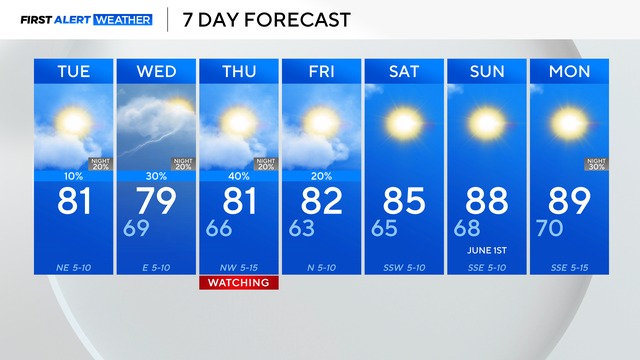
There is a chance for spotty storms and showers Wednesday.

Memorial Day in North Texas is starting off with storms producing strong winds and heavy rain.

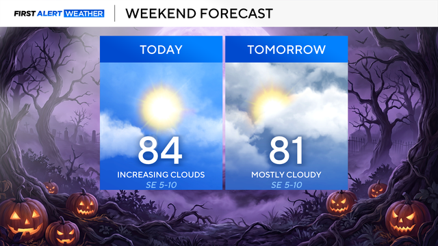
Feel-like temperatures tomorrow again hover near 100 degrees by afternoon.

A breezy southerly wind won't do much to keep you cool as it feels like temperatures near 100.

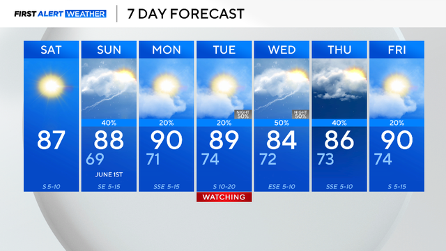
Memorial Day weekend in North Texas is starting out clear and sunny, but storms are on the way and will hamper plans on Monday.

Thursday is a First Alert Weather Day for the potential of strong to severe storms in the afternoon and evening hours.

Memorial Day weekend could be rainy.

North Texas bounces back from severe storms to sunshine Tuesday

A string of very nice days is ahead starting Tuesday. More unsettled weather returns by Sunday/Monday.

First Alert Weather Days have been issued for Sunday and Monday due to the severe weather threat.
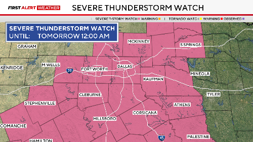
The storm produced golf ball-sized hail and 60 mph wind gusts

Strong storms may develop Friday afternoon in eastern North Texas with a threat of large hail.
The First Alert Weather Team declared a First Alert Weather Day for Saturday due to the threat of severe storms in the afternoon.

A First Alert Weather Day remains in place Wednesday due to the dangerous heat.

A heat wave is on the way.