Hot, humid week ahead for North Texans
Low rain chances return overnight Wednesday into Thursday.
Watch CBS News
Low rain chances return overnight Wednesday into Thursday.
For DFW, the chance for storms will likely be around lunchtime, which will unfortunately impact any grilling plans and outdoor activities.

The North Texas region will have storm chances on Saturday and Sunday.

Friday will be a great pool day with "feels-like" temperatures near 100 degrees.

Flash flooding is possible with these storms.

Environmental factors are extremely favorable for storm development.

The afternoon heat index on Sunday will reach the as high as 106.

Some rain might pop up along the I-35 corridor as storms head east through the morning.

Overnight storms cleared from Dallas-Fort Worth shortly after midnight, leaving flooding due to heavy rain their wake.

In the late-night hours, damaging winds and flash flooding are the highest risks.

Two rounds of storms are predicted for Sunday - one expected in the early morning across northern areas, followed by another in the south by the afternoon.

After a rainy Friday morning, a very comfortable day is ahead in North Texas.

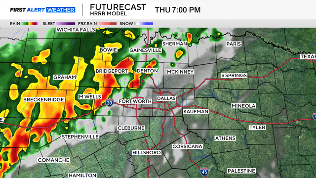
The potential of strong to severe storms on Thursday has prompted a First Alert Weather Day.

Memorial Day in North Texas is starting off with storms producing strong winds and heavy rain.

Feel-like temperatures tomorrow again hover near 100 degrees by afternoon.

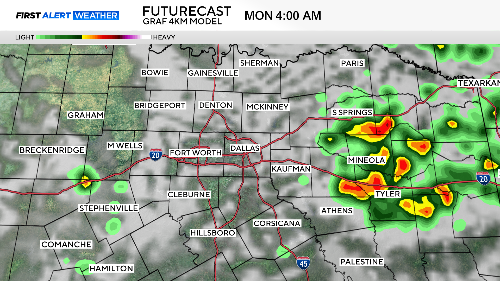
Memorial Day weekend in North Texas is starting out clear and sunny, but storms are on the way and will hamper plans on Monday.
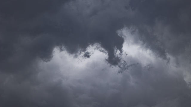
Thursday is a First Alert Weather Day for the potential of strong to severe storms in the afternoon and evening hours.

Memorial Day weekend could be rainy.

A string of very nice days is ahead starting Tuesday. More unsettled weather returns by Sunday/Monday.
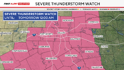
The storm produced golf ball-sized hail and 60 mph wind gusts

Strong storms may develop Friday afternoon in eastern North Texas with a threat of large hail.
The First Alert Weather Team declared a First Alert Weather Day for Saturday due to the threat of severe storms in the afternoon.

A heat wave is on the way.

As the upper-level low pressure to the east moves further east, a ridge of high pressure will build into the Southern Plains, and that will start to bake North Texas mid-week.

It's a beautiful start to the weekend, with mostly sunny skies and temperatures in the low 60s.