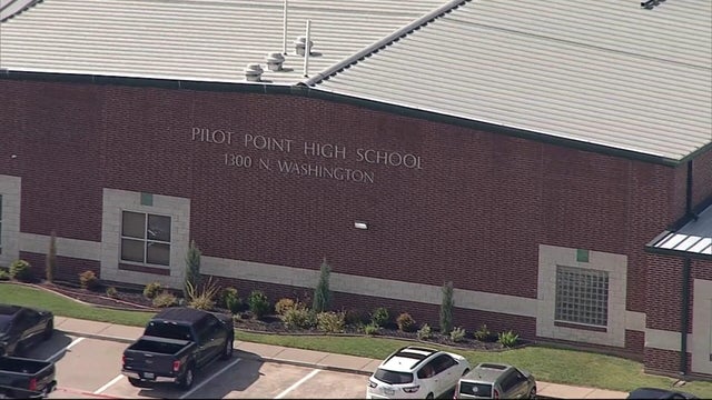
Spring-like weather returns to North Texas on Wednesday
Patchy fog Wednesday morning, then warm temperatures return in the afternoon through Saturday.
Watch CBS News
Patchy fog Wednesday morning, then warm temperatures return in the afternoon through Saturday.

Near-record heat is in the forecast through mid-week, then a cold front arrives Saturday into Sunday, bringing back average temperatures.
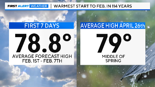
Nothing but sunshine and way-above-normal temperatures to start the new month.
The first week of February is shaping up to be unseasonably warm in North Texas, with highs reaching into the 70s and 80s.
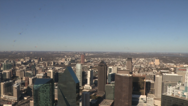
Highs continue to warm for Sunday and into the start of next week.

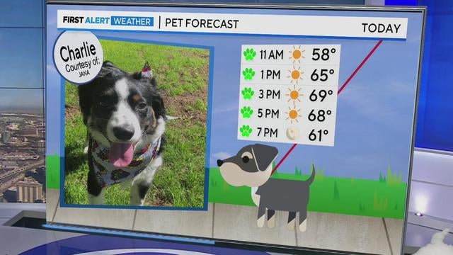
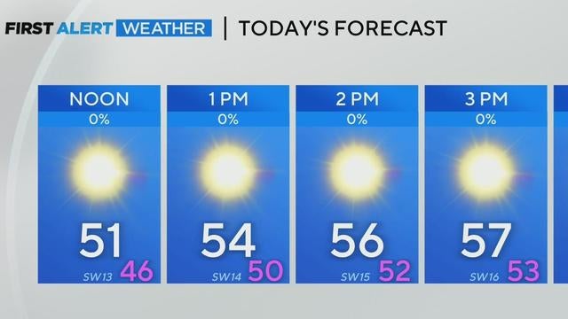
After a chilly start, North Texas will warm up significantly, reaching mid-60s this afternoon and near 70 on Saturday.
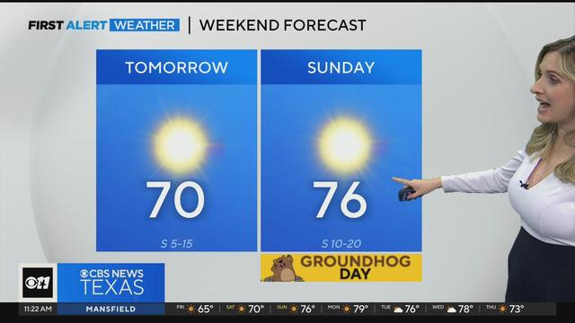
North Texas is enjoying a stretch of calm and sunny weather with current temperatures climbing into the high-70s over the weekend.
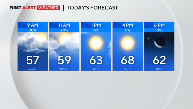
Thunderstorms produced heavy rain across North Texas Wednesday night and into Thursday.
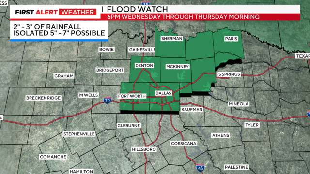
First Alert Weather Days are in effect for Wednesday and Thursday for heavy rain and possible flooding.

First Alert Weather Days were issued for Wednesday and Thursday due to widespread rain on the way and some stronger storms.

First Alert Weather days have been issued as North Texas' first soaking rains of 2025 arrive Tuesday night, ramping up through Wednesday and Thursday.
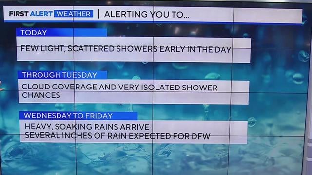
With Sunday's highs in the upper 40s and low 50s, North Texas will see its first major soaking of the year later this week, bringing heavy rain and possible flooding from Wednesday to Friday.
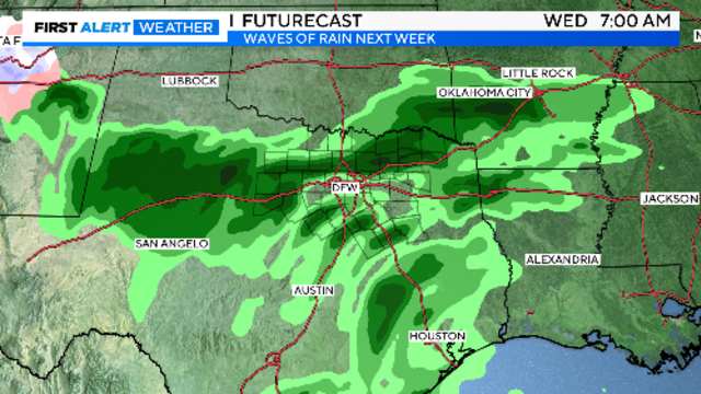
If traveling down I-35 or I-45 on Sunday, you could run into a few storms.

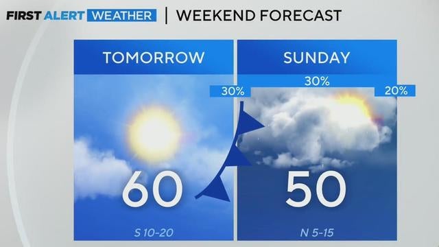
A mild start to the weekend with southerly winds will give way to cooler temperatures and scattered showers Sunday.
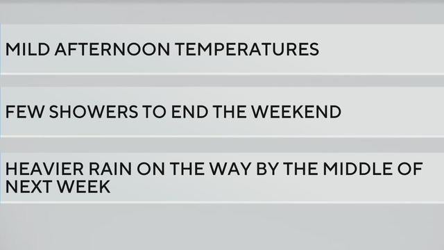
CBS News Texas meteorologists are helping the community prepare for storm season, while also forecasting a dry but chilly Saturday and spotty showers—no complete washouts—on Sunday.

While temperatures started in the teens, sunny skies will warm North Texas to the upper 50s by afternoon.
As sunshine warms up North Texas heading into the weekend, another cold front and rain are preparing to move in.
North Texas will see temperatures rise to the upper 50s on Friday, but gusty winds and low humidity will bring an elevated fire threat, mainly west of the Metroplex.
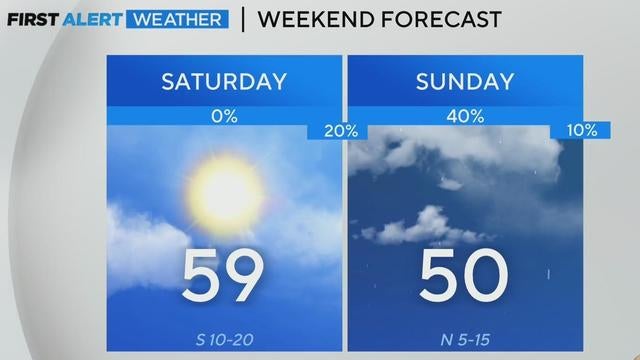
After a cold start to the day with wind chills in the 30s, temperatures across North Texas will rise to the mid-40s, with warmer weather expected this weekend.
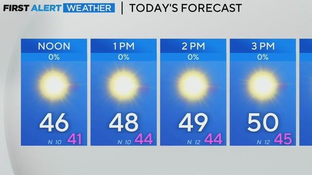
North Texas is facing a chilly Thursday morning, with temperatures in the 20s and 30s. However, a warm-up is expected by the weekend, along with another cold front and potential rain chances next week.
It will be another cold morning on Thursday due to an overnight cold front.

The forecast for Sunday has a 50% chance of scattered showers.
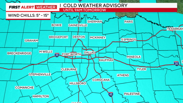
First Alert Weather Days remain in effect through Wednesday morning due to "feels-like" temperatures in the single digits.
A First Alert Weather Day remains in effect through Wednesday morning due to continuing dangerous "feels-like" temperatures.
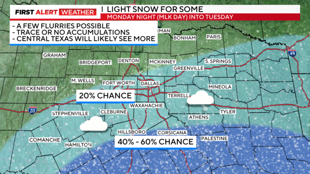
A First Alert Weather Day remains in effect Monday and Tuesday for the dangerous "feels-like" temperatures.