First soaking storm of 2025 brings heavy rain, flooding concerns to North Texas

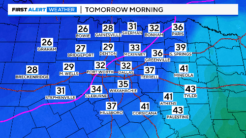
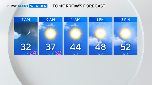
NORTH TEXAS — Temperatures held in the upper 40s Saturday night into most of the day. Then a cold front arrived mid-afternoon with much drier air. This cleared out the mist and fog as temperatures dropped quickly into the low 40s. It will be chilly Monday morning but dry.
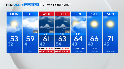
There will be enough sunshine Monday to get highs in the 50s.
A slow-moving system will deliver several waves of rain from Tuesday night into early Friday. The snapshots below show several periods of heavy rain.
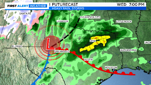
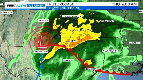
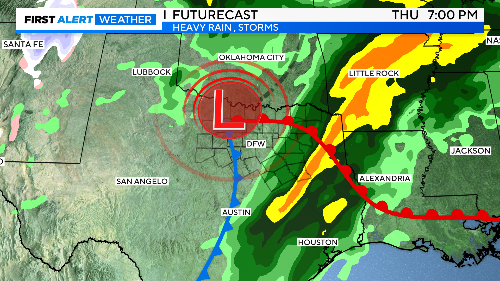
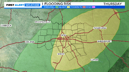
Prolonged heavy rain is possible on Wednesday and Thursday and strong storms with a flooding threat possible Thursday.
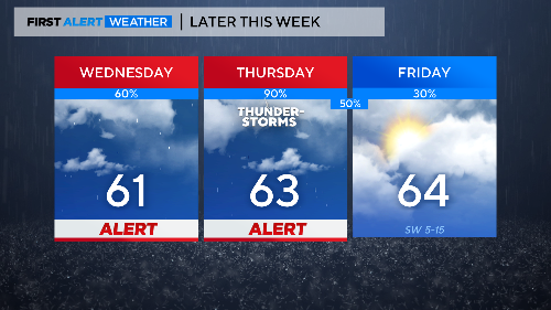
We will likely face a flooding risk by Thursday as strong storms become more numerous. Some areas could get 4"-6" of rain over the event. A large swath of north Texas is under the threat of excessive rain.

Temperatures will be in the 60s for highs during this time period, so no worry about any winter weather. Once this system moves east on Friday, some nice winter weather days ahead for the first weekend of February.
The First Alert Weather Team will continue to provide updates on the upcoming heavy rain event, please keep checking in with us.