Frigid temperatures, possible snow prompt First Alert Weather days for North Texas
A dangerously cold wind chill and a low chance of flurries or light snow will impact North Texas through Wednesday afternoon.
Watch CBS News
A dangerously cold wind chill and a low chance of flurries or light snow will impact North Texas through Wednesday afternoon.
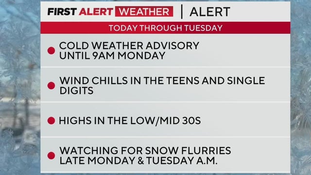
A cold front hit North Texas overnight, bringing frigid temperatures and the potential for light snow to the region through Wednesday.
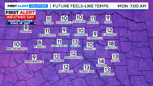
Sunday morning, wind chills will be in the single digits, and temperatures will feel below freezing for the next three days.
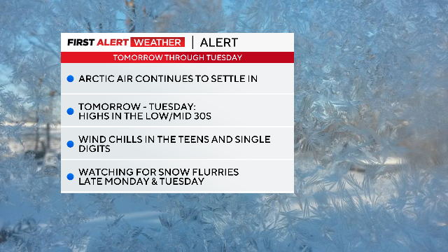
A chilly start to Saturday with wind chills in the upper 20s kicks off a weekend of freezing temperatures.
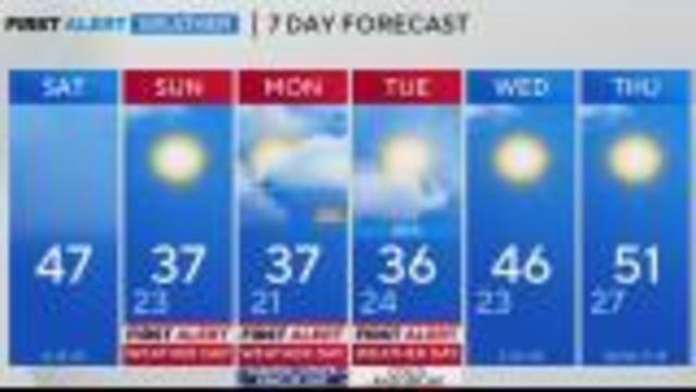
Bundle up for chilly conditions this weekend and MLK Day in North Texas, as a cold front brings wind chills in the teens and 20s.
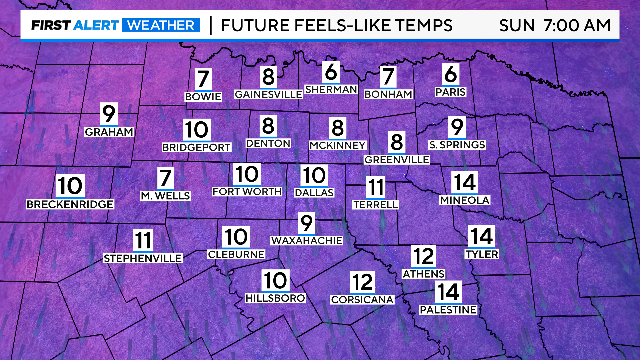
An Arctic front will arrive, bringing dangerous wind chill temps on Sunday, Monday and Tuesday mornings.
While Friday will be mild with gusty winds, temperatures will plummet overnight as an arctic front moves through, bringing frigid conditions and a chance of flurries by Monday night into Tuesday morning.

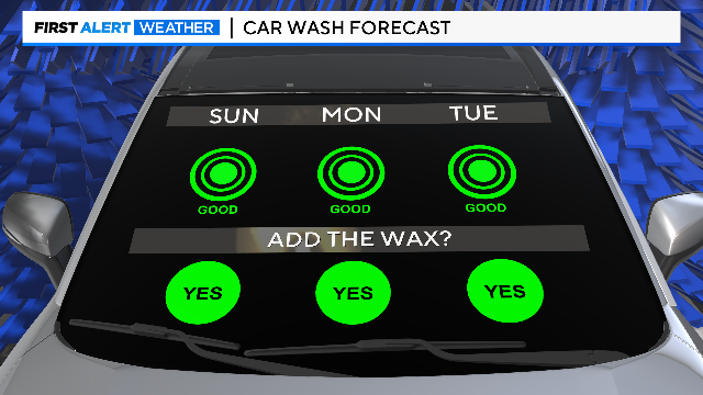
First Alert Weather days are in place from Sunday through Tuesday for dangerously cold wind chills and the low chance of flurries.
First Alert Weather days are in place from Sunday through Tuesday for dangerously cold wind chills and the low chance of flurries.
First Alert Weather Days start Sunday and continue through at least Tuesday.
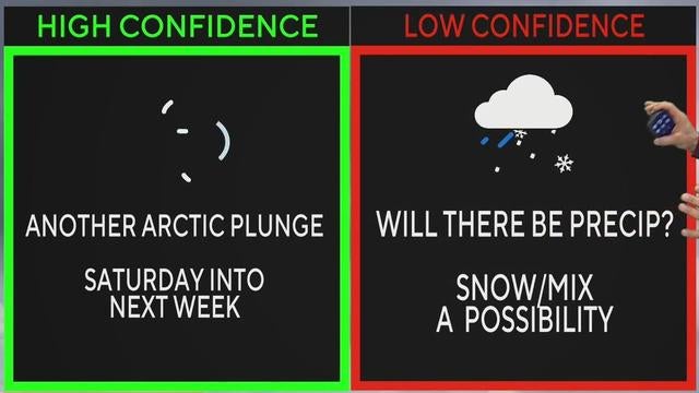
North Texas will enjoy a mild Wednesday with highs near 59 degrees, but brace for a major chill with possible snow as an Arctic cold front arrives Friday night.
This week will be mild and pleasant before a new arctic blast cools things down.

After a mild end to the weekend and start of next week, North Texas residents should prepare for a significant temperature drop and possible wintry precipitation.
After a week of winter storms and icy conditions, North Texas will enjoy a sunny, comfortable Sunday before a significant cold front moves in next week.
Patchy ice is expected on roads along the Red River Valley for Sunday morning.
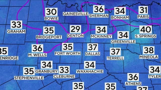
While temperatures will warm up by mid-morning, refreezing remains a concern, particularly north of the Metroplex.
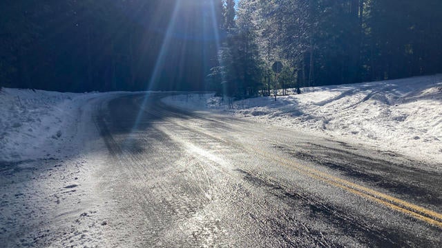
Road melt and snow/slush that survived the afternoon heating has also started to freeze on the roadways.
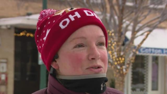
While snow melts on roads and crews clear sidewalks, McKinney’s streets remain a winter wonderland, with resident Helen Hutton even going for a morning run.
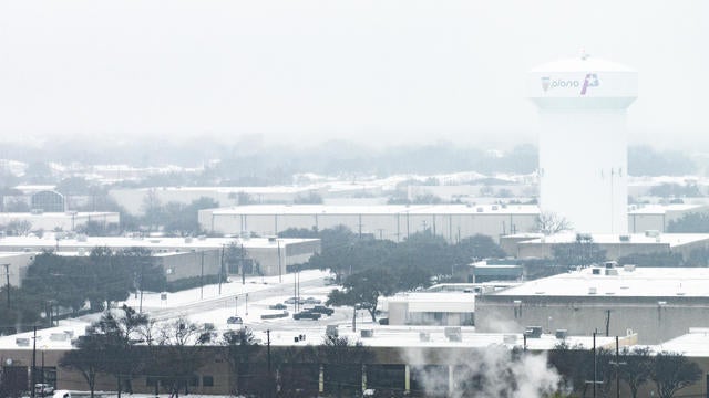
Whatever precipitation will remain on the ground Friday night will freeze by Saturday morning.
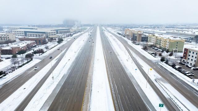
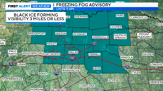
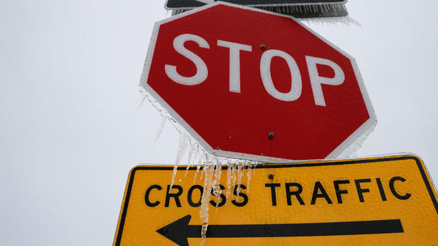
Black ice is a thin layer that forms on surfaces such as roads, sidewalks and driveways when temperatures are 30 degrees or lower.

North Texas is experiencing a mix of snow and sleet, causing road closures and traffic delays across the Metroplex.

In addition to flight disruptions, Thursday's severe weather led to hundreds of power outages and some traffic delays.
The Oncor website notes that out of more than 4 million customers they serve, there are 56 outages affecting 880 customers.
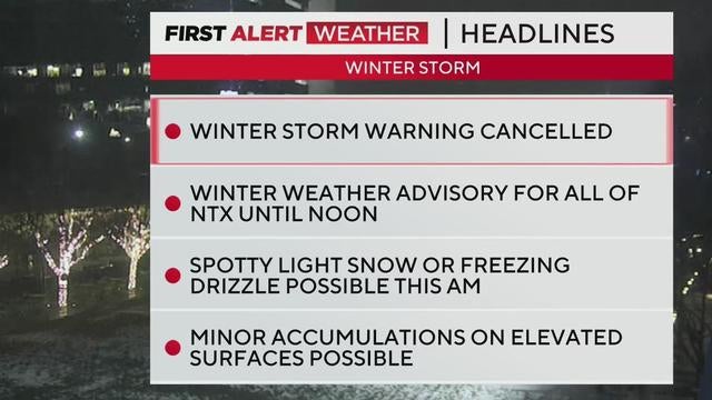
Light snow, freezing drizzle and slick conditions are impacting roads and travel on Friday, with a winter weather advisory in effect until noon.

While snow and ice threaten travel plans, officials confirm the Cotton Bowl is set to kick off at 6:30 p.m. at AT&T Stadium, with extra precautions in place to ensure a smooth event.