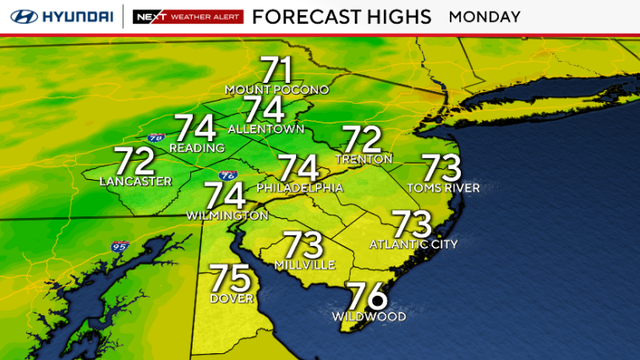
Cooler temps expected in Philadelphia area Monday, tracking Hurricane Erin
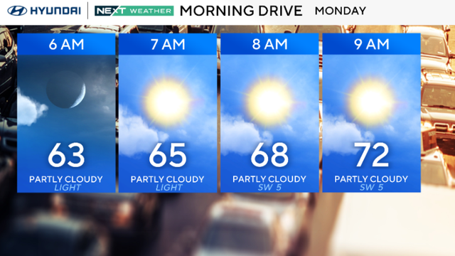
Much cooler air is arriving in the Philadelphia area, bringing temperatures in the 70s for Monday.
Watch CBS News
Much cooler air is arriving in the Philadelphia area, bringing temperatures in the 70s for Monday.
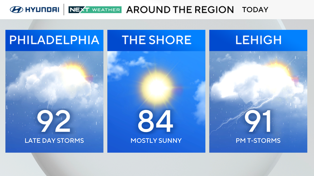
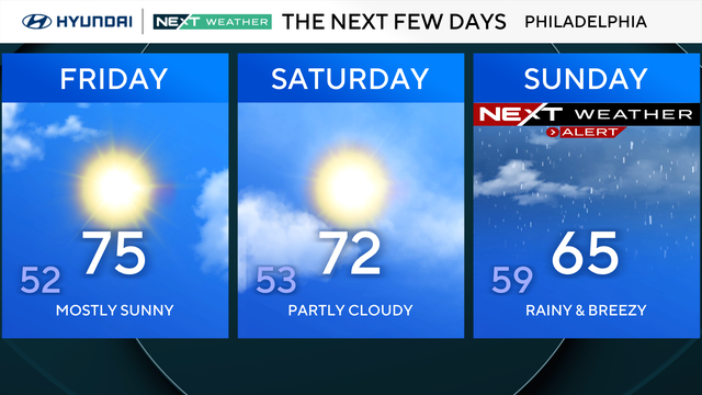
A NEXT Weather Alert is in effect on Sunday night as multiple counties in the Philadelphia region are under a flash flood warning due to heavy rain.
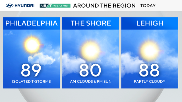
Labor Day weekend is only 2 weeks away, meaning weekends like the one upcoming will be few and far between from here on out.
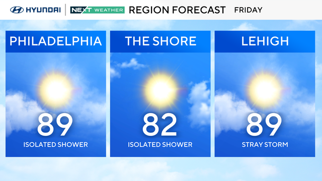
The Philadelphia area can expect a hot weekend without rain.
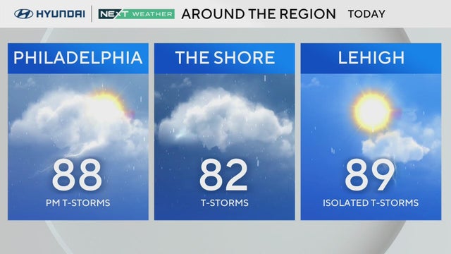
Thursday has potential for afternoon or evening storms and a low-end flooding risk around the Philadelphia region.
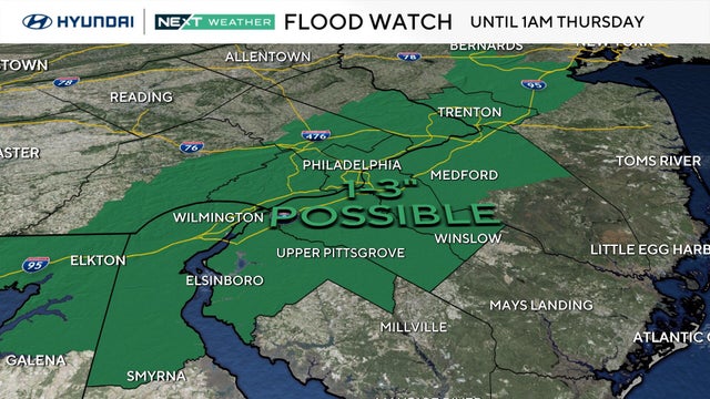
A flood watch is in effect for most of the Philadelphia region through early Thursday morning as heat, humidity and storms make a comeback.
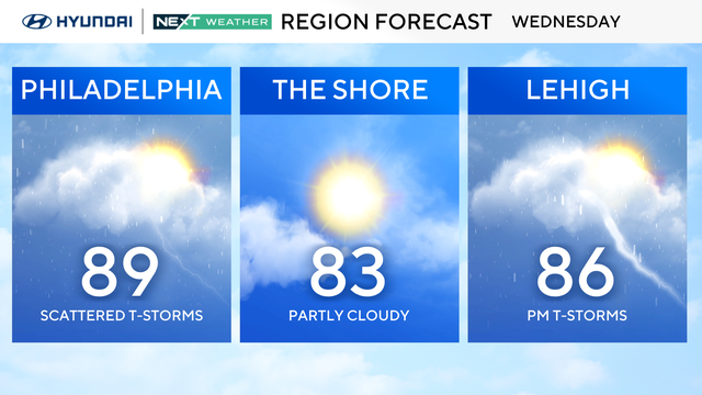
The Philadelphia region will have the potential for pop-up storms on Wednesday and Thursday as the temperatures heat up.
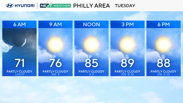
After a relatively cool start to August, summer air is returning to the Philadelphia area.
We may make a run for 90 this afternoon, but most spots should top out in the upper 80s.
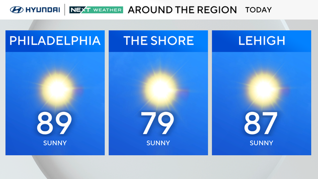
Sunday will have plenty of sunshine and light southerly breezes. However, several Pennsylvania counties will be under an air quality alert.
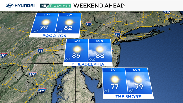
There will be plenty of sunshine and comfortable conditions as temperatures on Saturday morning start in the upper 50s and low 60s.
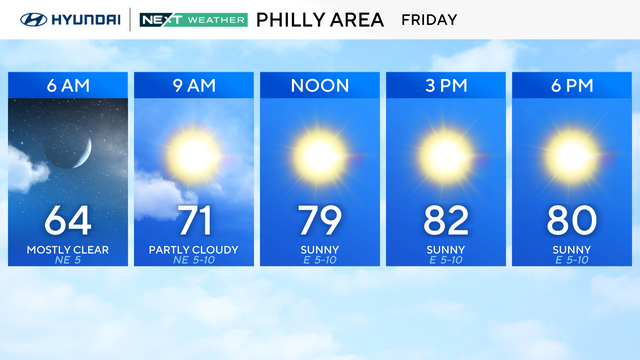
Friday is shaping up to be a fantastic day weather-wise in the Philadelphia area with tons of sunshine.
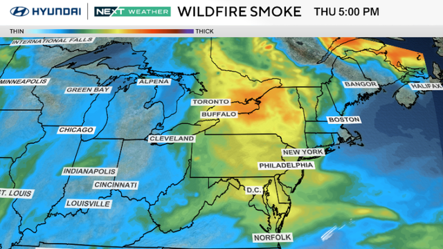
The Philadelphia region can expect a warmer, brighter Thursday and a nice weekend.
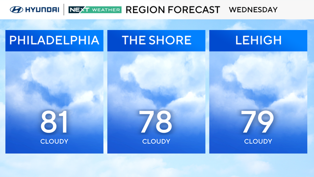
The temperatures on Wednesday in the Philadelphia region should only top out in the upper 70s and low 80s.
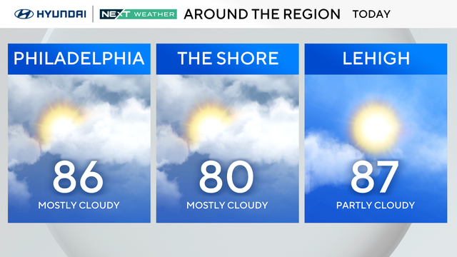
Tuesday stays warm and dry, with highs in the upper 80s and a bit more humidity under mostly cloudy skies in the Philadelphia region.
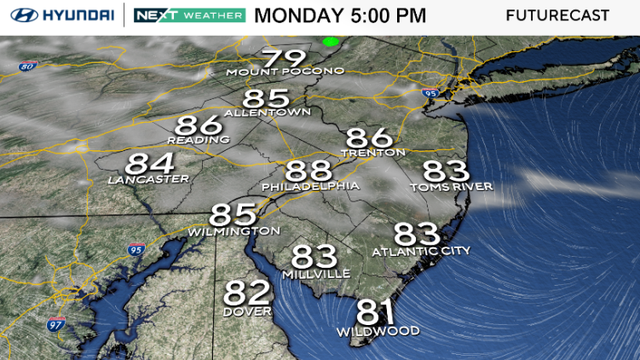
Monday brings sunshine, low humidity and highs in the upper 80s to the Philadelphia area, with a few spots near 90.
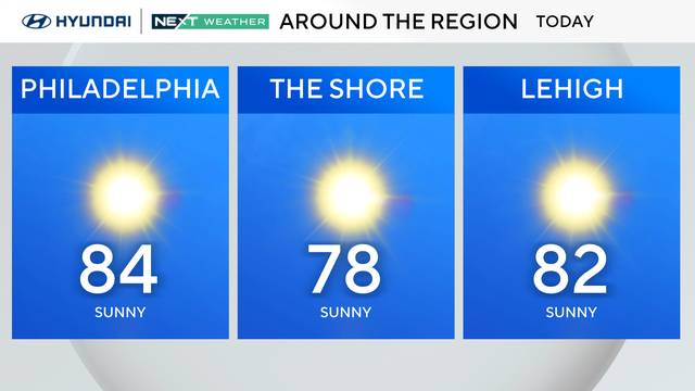
The region will remain dry and calm through at least Tuesday, with cool nights and plenty of sunshine to start the week.
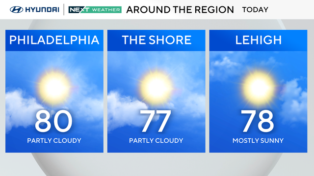
It's a spectacular weather Saturday in Philadelphia! Expect sunny and pleasant conditions with some afternoon clouds and low humidity.
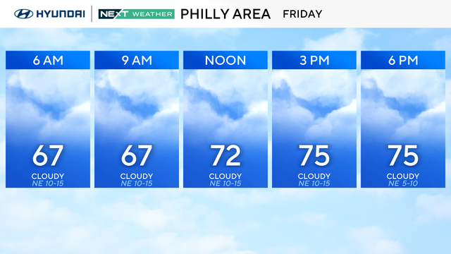
August starts Friday with breezy northeast winds, mostly cloudy skies and stray showers in the Philadelphia region.
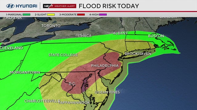
A tornado warning for parts of South Jersey expired as heavy storms are moving through the Delaware Valley.
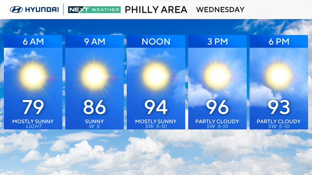
Record-setting temperatures are possible once again Wednesday in the Philadelphia area before storms on Thursday.
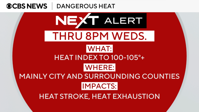
The weather in Philadelphia is set to get hotter on Tuesday as the fifth heat wave of the summer continues.
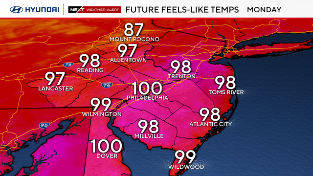
The Philadelphia region is in the middle of another heat wave as temperatures will hit a high of 95 degrees on Monday.
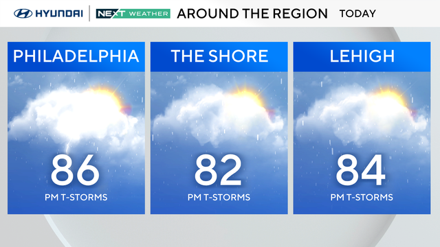
You'll want to keep the umbrella handy, too, because scattered showers and storms develop between 2 p.m. and 4 p.m., moving west to east, and ending before 9 p.m.
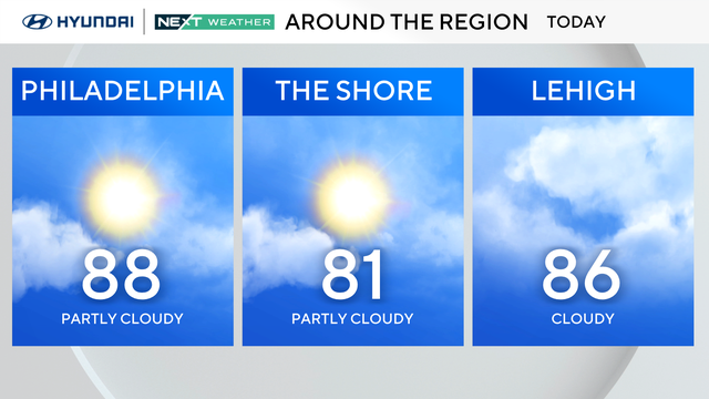
Saturday will have a mix of sun and clouds. Expect seasonable temperatures with high humidity. Stray afternoon showers are possible.