NEXT Weather: Noon report from June 5, 2023
Meteorologist Lisa Meadows has the latest forecast.
Watch CBS News
Meteorologist Lisa Meadows has the latest forecast.
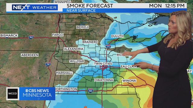
An air quality alert is in effect for much of eastern Minnesota Monday morning, and another warm day is on the way after that.
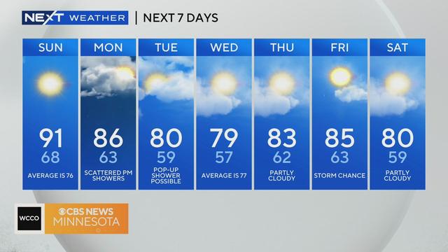
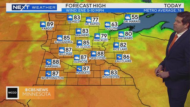
There will also be a lot of sun, but it will be less humid than the past few days.
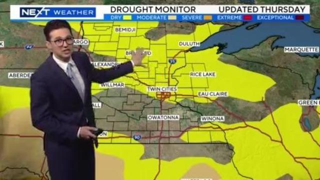
Meteorologist Joseph Dames has the latest forecast.
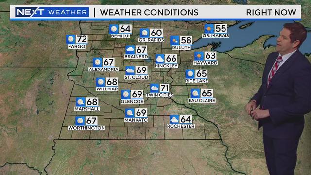
Friday will continue the recent pattern of hot, humid and unsettled weather across Minnesota.
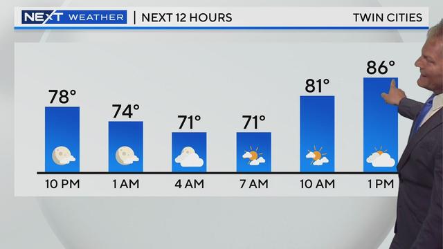
The forecast for the next several days looks largely uniform -- hot and humid with pop-up storms.
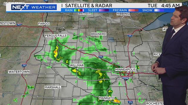
Scattered storms made their way across much of Minnesota Tuesday morning, and after some midday dry time, another round could hit later on.
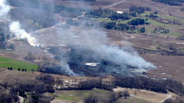
The NWS says conditions in Cook, Lake and St. Louis counties are favorable for fires to spread quickly and easily get out of control. Those conditions include low humidity, high wind gusts, and dry fuels like grass.
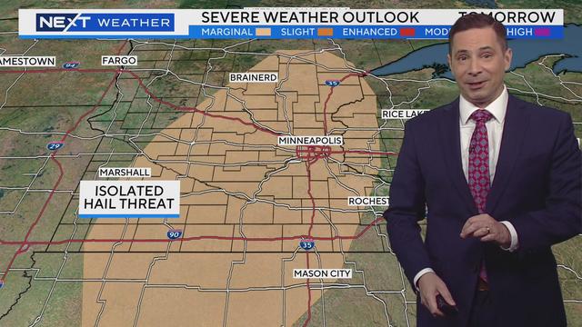
Isolated thundershowers will return to the Twin Cities Tuesday, including a chance for some localized large hail.
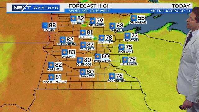
Temperatures are building for the weekend, WCCO meteorologist Riley O'Connor says, with highs pushing 80 Friday, and likely into the low 80s by Saturday.
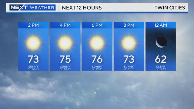
The Twin Cities are in for a quiet, seasonal day on Thursday.
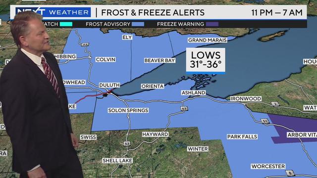
After a cool Wednesday night, there will be a nice warming trend starting Thursday.
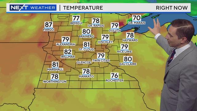
Meteorologist Mike Augustyniak has the latest forecast, which includes an air quality alert.
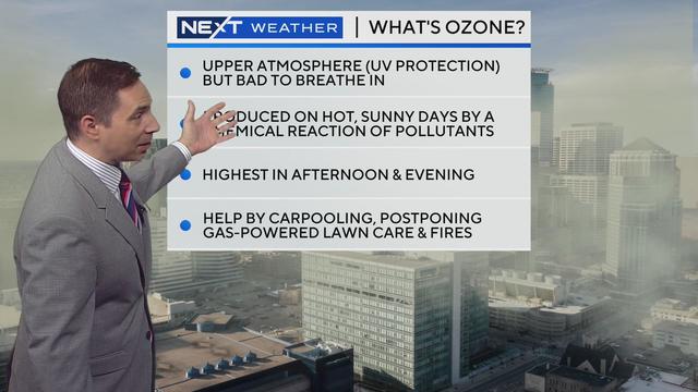
The Minnesota Pollution Control Agency issued an air quality alert for the southern half of the state Tuesday due to ozone. Here's what that means.
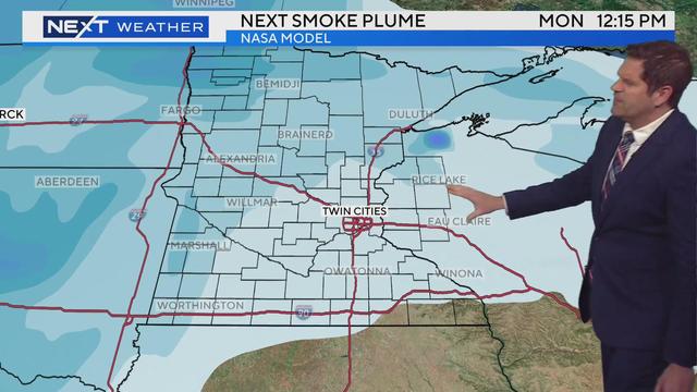
Meteorologist Riley O’Connor has the latest forecast.
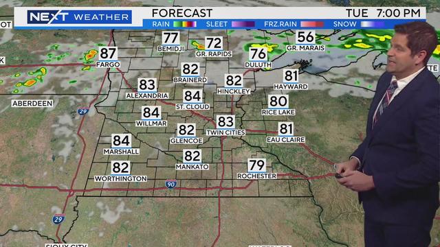
Tuesday will be another warm and sunny day, before a cold front arrives midweek.
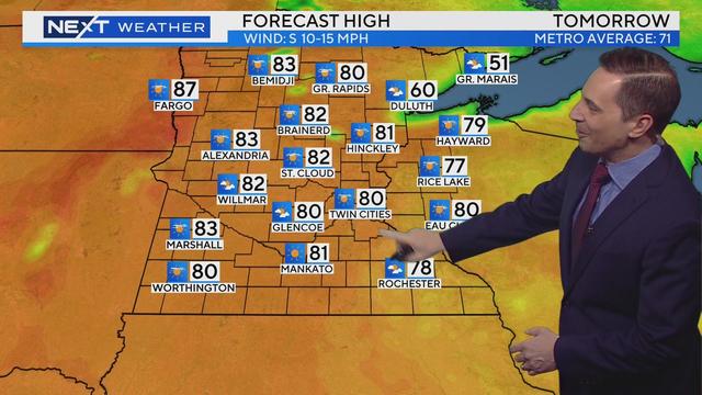
Besides some stray showers, there's not a bad weather day in the bunch this week.
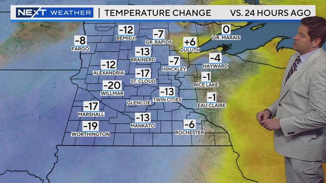
After the alert expires, you can expect things to stay dry on Friday, with a mix of clouds and sun, according to WCCO meteorologist Riley O'Connor. However, it will remain reasonably cool.
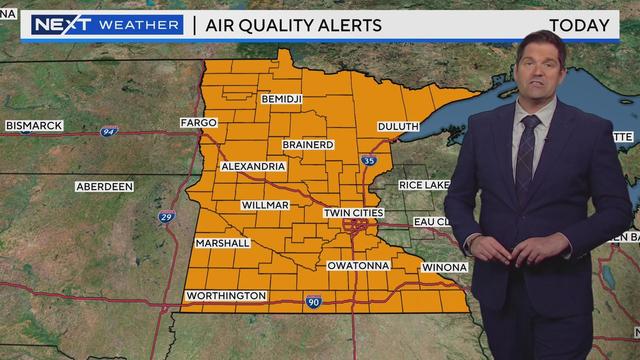
The Minnesota Pollution Control Agency said the alert will run until 6 a.m. Friday.
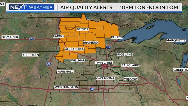
A cold front will approach from the west and drag the smokey air our way at the surface, WCCO meteorologist Chris Shaffer reports. It will also bring our next best chance for rain.
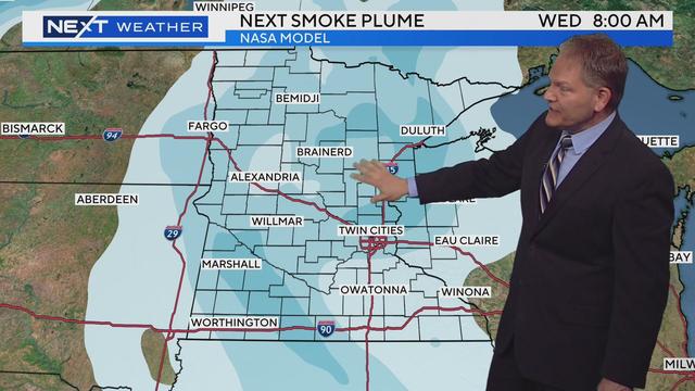
It will be another warm and dry one Wednesday, but more rain is on the way.
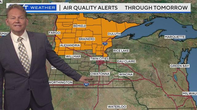
After a #Top10WxDay, expect more of the same Tuesday in the Twin Cities.

A stretch of highway in southern Minnesota has reopened after an overnight mudslide shut it down.
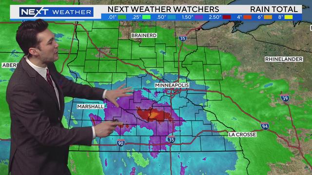
Mother's Day started off rainy before clearing up, and even nicer weather is on the way Monday.
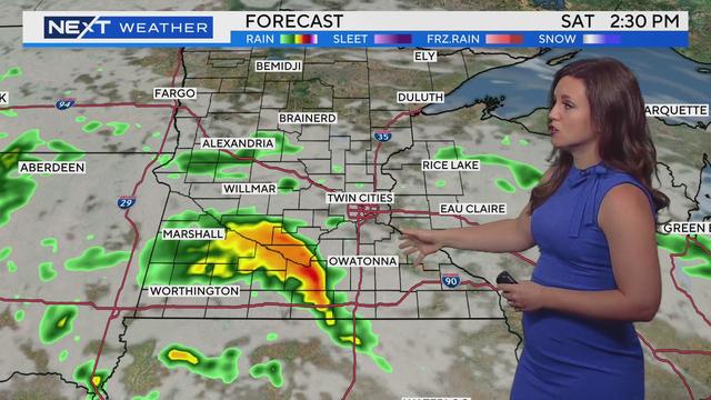
Meteorologist Katie Steiner has the latest forecast.